Gorges of the Upper Middle Rhine Valley
Sentinel-1 CSAR IW acquired on 29 January 2018 at 17:23:40 UTC
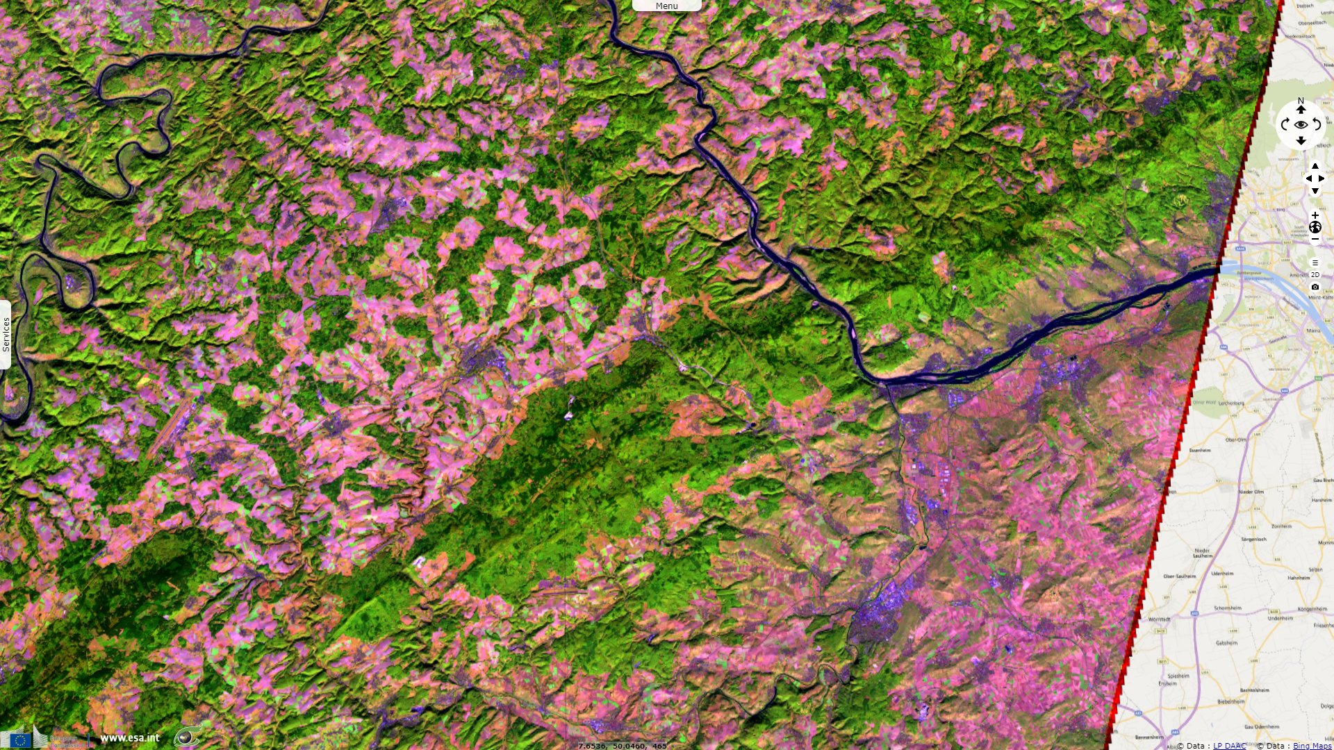
Sentinel-1 CSAR IW acquired on 12 October 2018 at 05:41:37 UTC
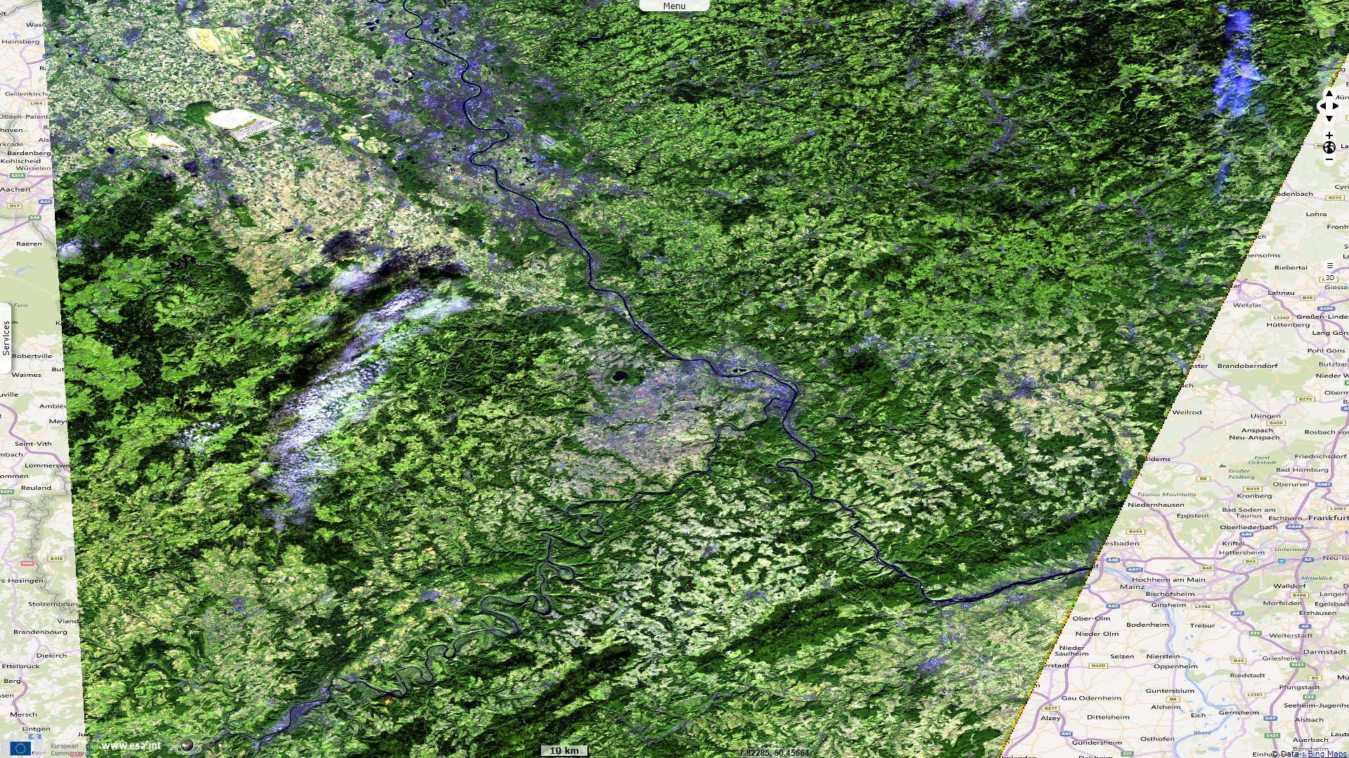
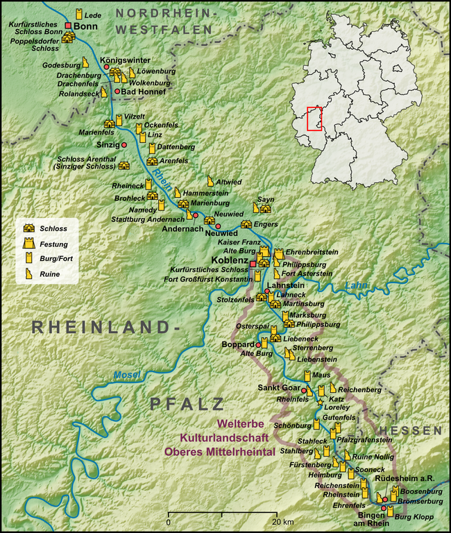
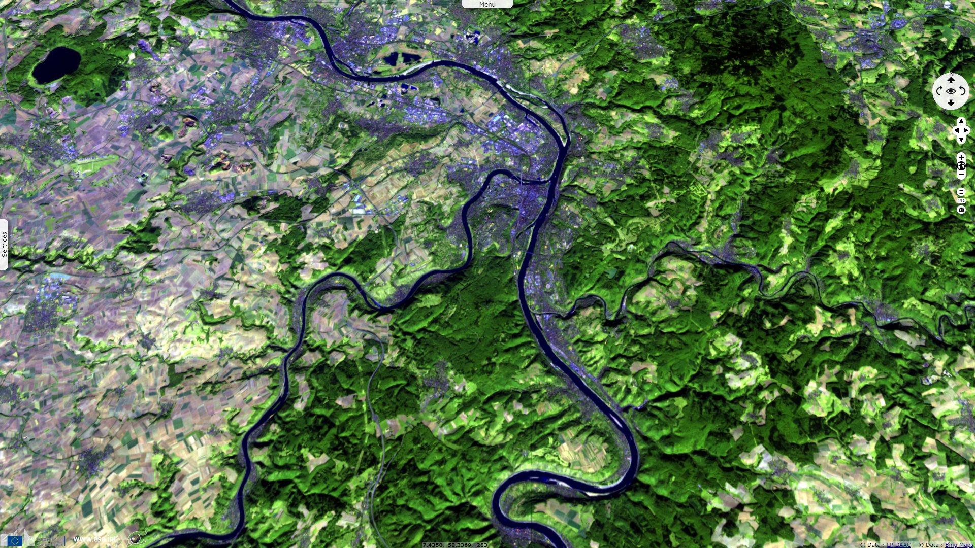
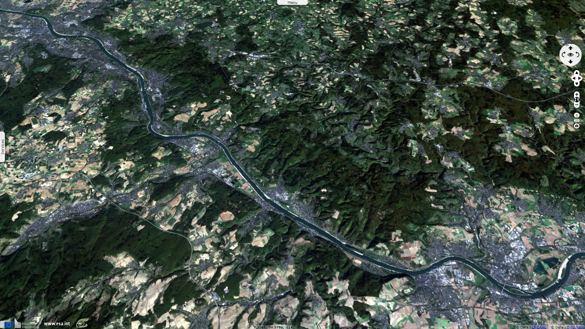
Sentinel-2 MSI acquired on 15 October 2018 at 10:40:21 UTC
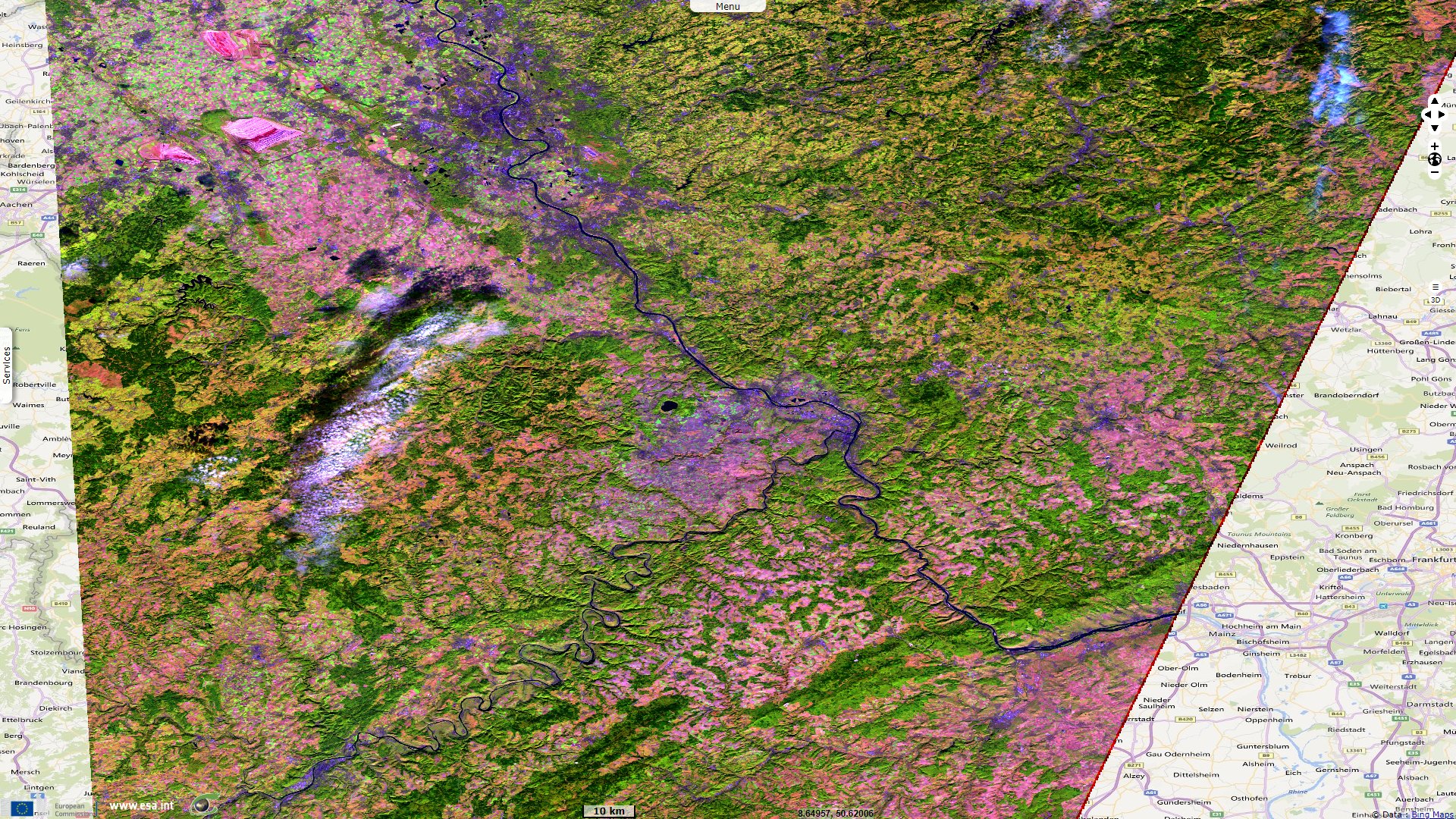
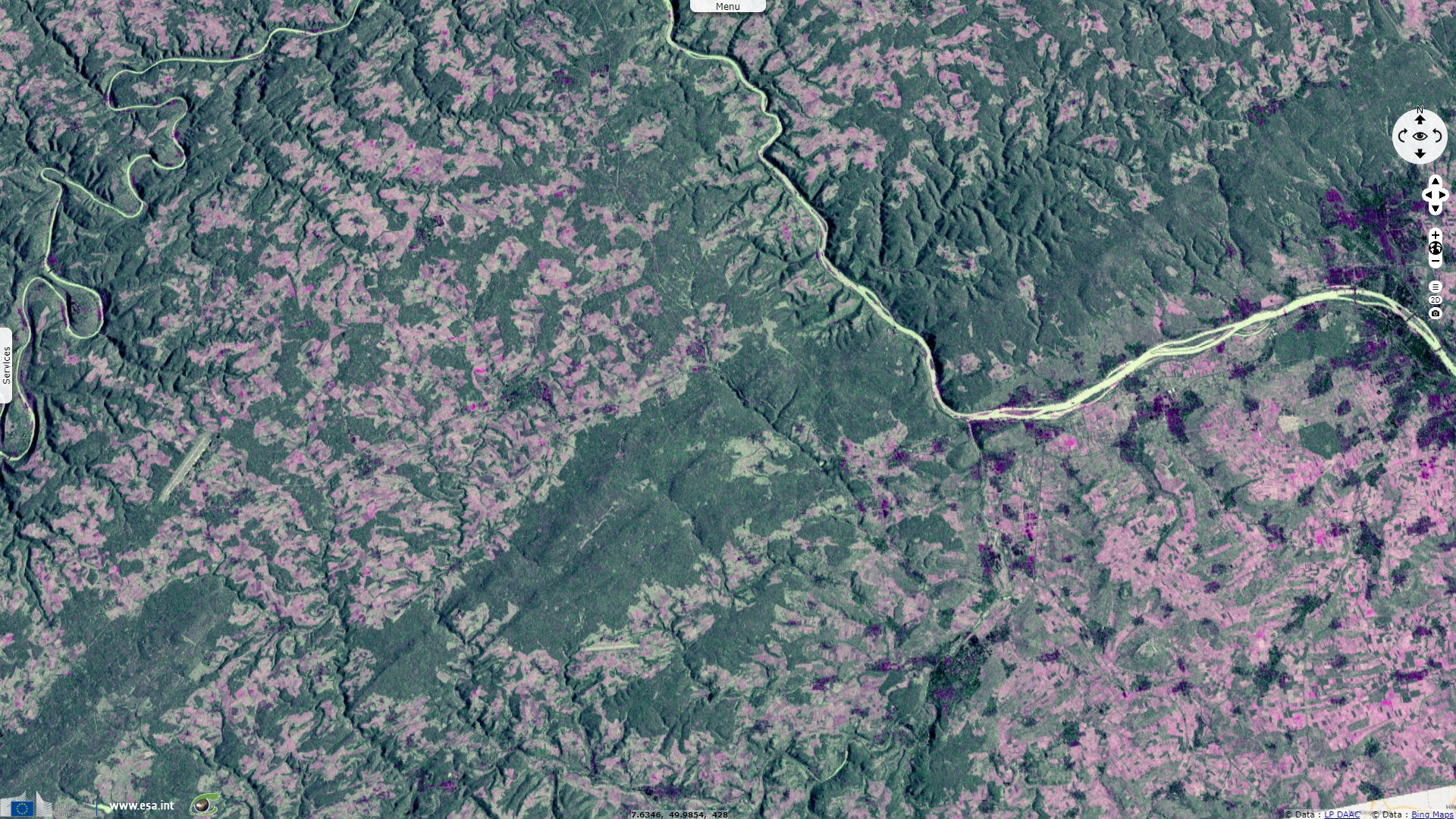
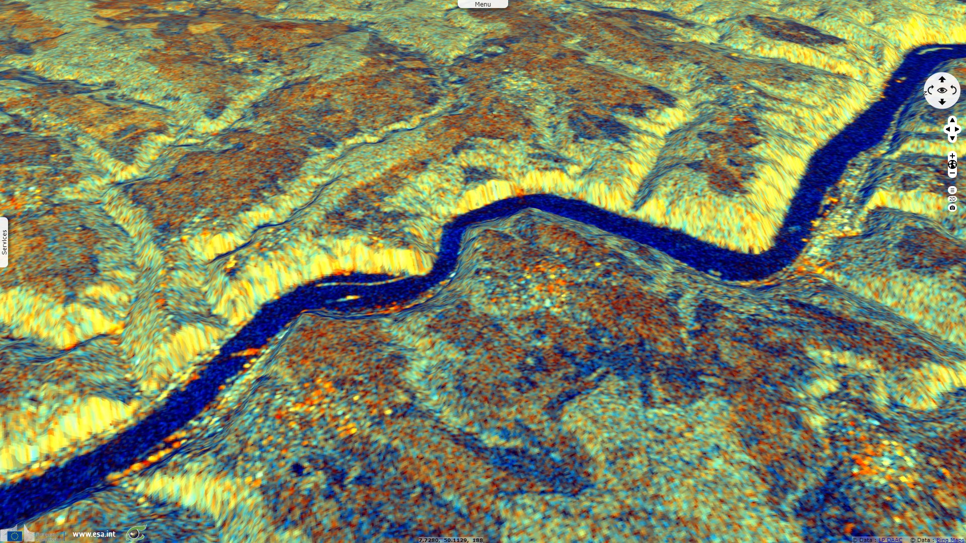
Sentinel-1 CSAR IW acquired on 15 October 2018 at 17:15:38 UTC
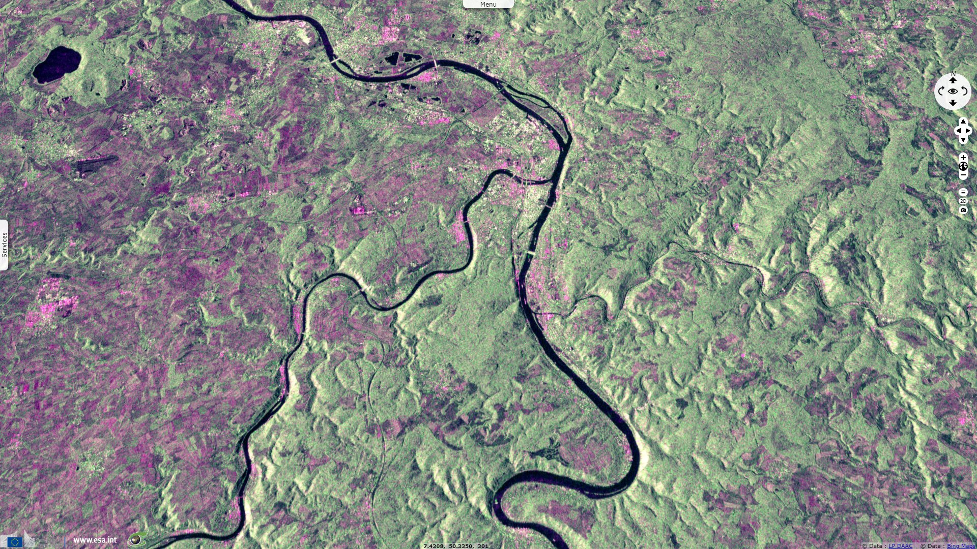
Sentinel-1 CSAR IW acquired on 12 October 2018 at 05:41:37 UTC
Sentinel-2 MSI acquired on 15 October 2018 at 10:40:21 UTC
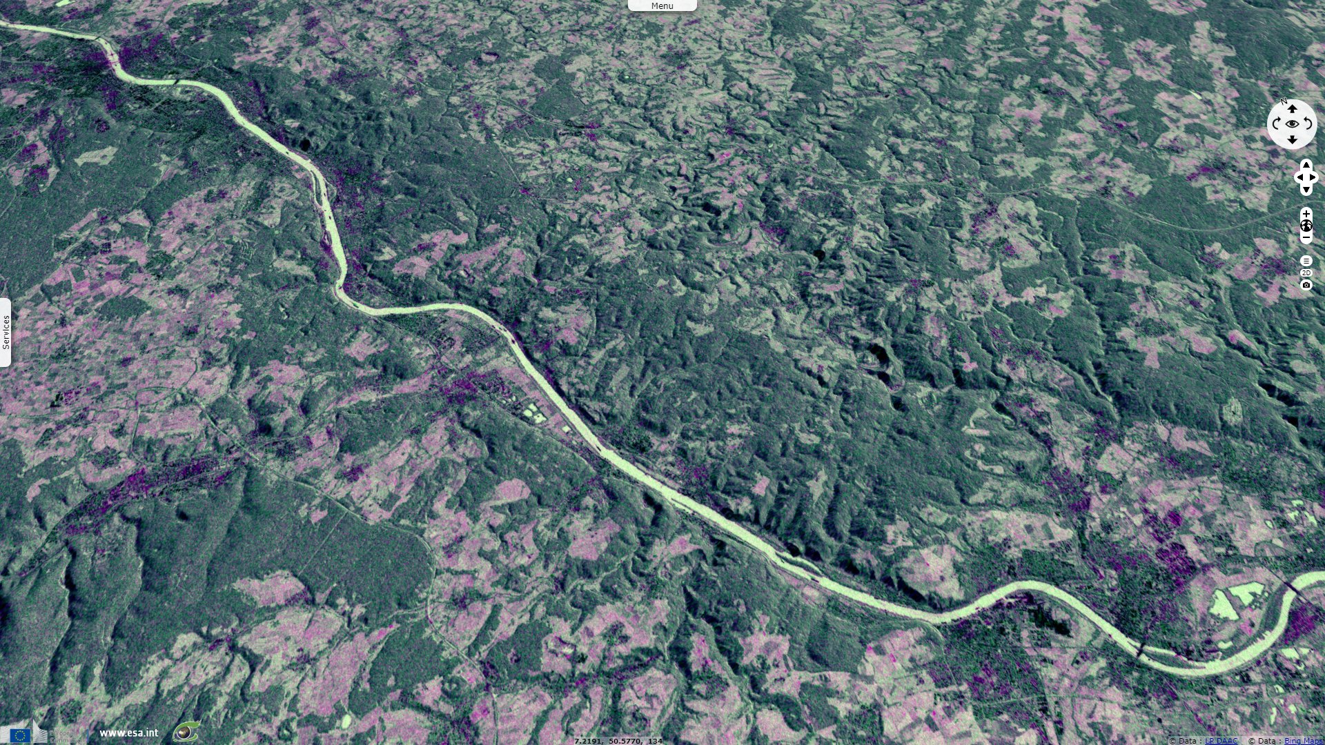
Sentinel-1 CSAR IW acquired on 15 October 2018 at 17:15:38 UTC
Keyword(s): River, hydrology, land, valley, canyon, gorge, ship traffic, erosion, UNESCO World heritage, Germany

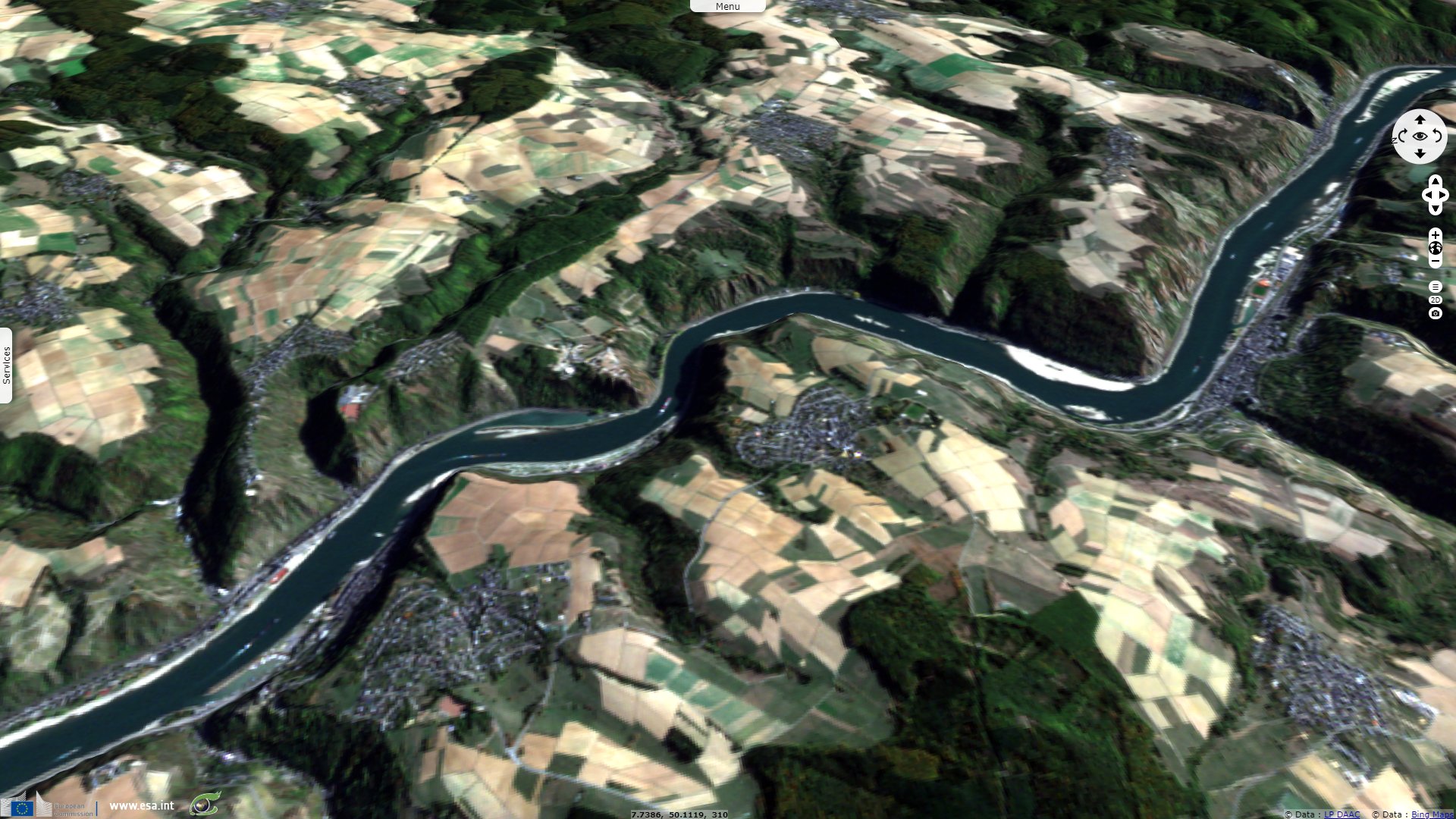
The gorges of the Upper Middle Rhine valley have been added to the list of UNESCO World Heritage sites for multiples reasons: "The strategic location of the dramatic 65 km stretch of the Middle Rhine Valley between Bingen, Rüdesheim und Koblenz as a transport artery and the prosperity that this engendered is reflected in its sixty small towns, the extensive terraced vineyards and the ruins of castles that once defended its trade."
"The river breaks through the Rhenish Slate Mountains, connecting the broad floodplain of the Oberrheingraben with the lowland basin of the Lower Rhine. The property extends from the Bingen Gate (Binger Pforte), where the River Rhine flows into the deeply gorged, canyon section of the Rhine Valley, through the 15 km long Bacharach valley, with smaller V-shaped side valleys, to Oberwesel where the transition from soft clay-slates to hard sandstone, results. In a series of narrows, the most famous of which is the Loreley, no more than 130 m wide (and at 20 m the deepest section of the Middle Rhine), and then up to the Lahnstein Gate (Lahnsteiner Pforte), where the river widens again into the Neuwied Valley. The property also includes the adjoining middle and upper Rhine terraces (Upper Valley) which bear witness to the course taken by the river in ancient times."
"As a transport route, the Rhine has served as a link between the southern and northern halves of the continent since prehistoric times, enabling trade and cultural exchange, which in turn led to the establishment of settlements. Condensed into a very small area, these subsequently joined up to form chains of villages and small towns. For over a 1000 years the steep valley sides have been terraced for vineyards."
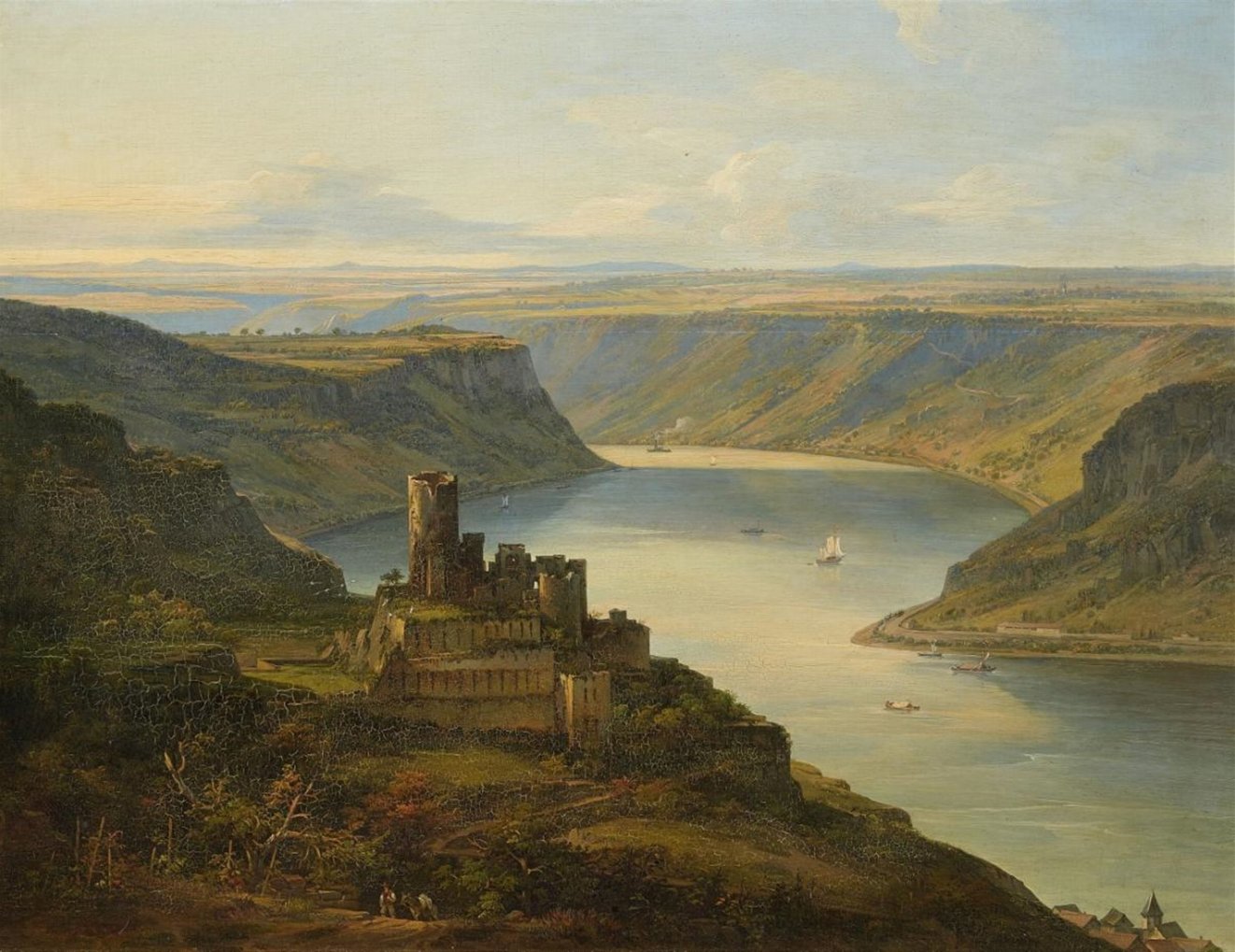
Left: View of Maus Castle and the Loreley - Source: Attributed to Johann Jakob Diezler, Lempertz
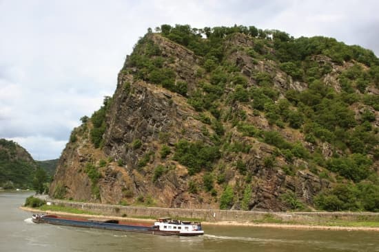
Right: This rock which dominates the Rhine near Bacharach, in the west of Germany, echoes the calls from the boats passing by. The figure of the Lorelei is attached to it - Source: Bernd Kröger, Larousse.
"The landscape is punctuated by some 40 hill top castles and fortresses erected over a period of around 1000 years. Abandonment and later the wars of the 17th century left most as picturesque ruins. The later 18th century saw the growth of sensibility towards the beauties of nature, and the often dramatic physical scenery of the Middle Rhine Valley, coupled with the many ruined castles on prominent hilltops, made it appeal strongly to the Romantic movement, which in turn influenced the form of much 19th century restoration and reconstruction."
"The Rhine is one of the world's great rivers and has witnessed many crucial events in human history. The stretch of the Middle Rhine Valley between Bingen and Koblenz is in many ways an exceptional expression of this long history. It is a cultural landscape that has been fashioned by humankind over many centuries and its present form and structure derive from human interventions conditioned by the cultural and political evolution of Western Europe. The geomorphology of the Middle Rhine Valley, moreover, is such that the river has over the centuries fostered a cultural landscape of great beauty which has strongly influenced artists of all kinds - poets, painters, and composers - over the past two centuries."
The views expressed herein can in no way be taken to reflect the official opinion of the European Space Agency or the European Union.
Contains modified Copernicus Sentinel data 2026, processed by VisioTerra.
Contains modified Copernicus Sentinel data 2026, processed by VisioTerra.
| More on European Commission space: |  |
 |
 |
||||
| More on ESA: | |
|
|
S-1 website | S-2 website | S-3 website | |
| More on Copernicus program: | |
|
|
Scihub portal | Cophub portal | Inthub portal | Colhub portal |
| More on VisioTerra: | |
|
|
Sentinel Vision Portal | Envisat+ERS portal | Swarm+GOCE portal | CryoSat portal |