Typhoon Mangkhut quickly intensifies near Philippines
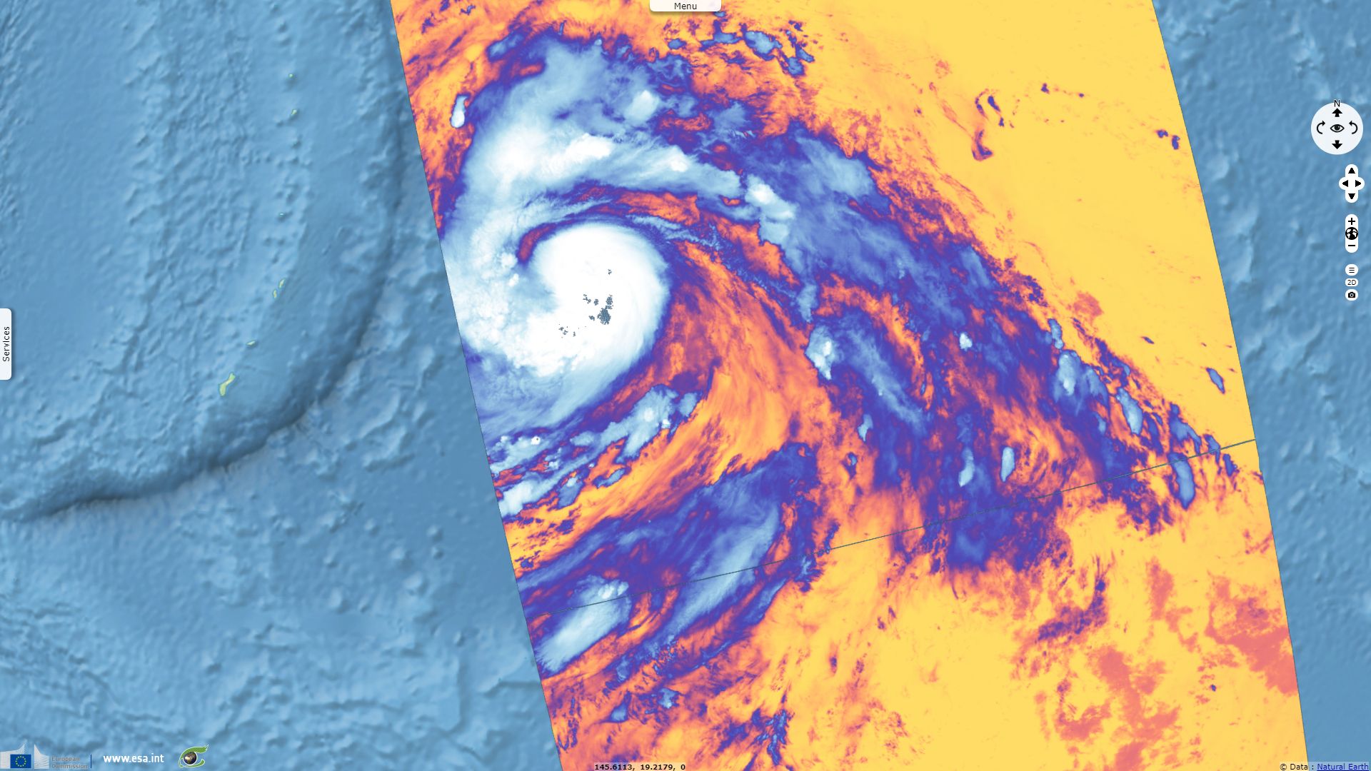
Sentinel-3 SLSTR RBT acquired on 09 September 2018 from 11:32:54 to 11:35:54 UTC
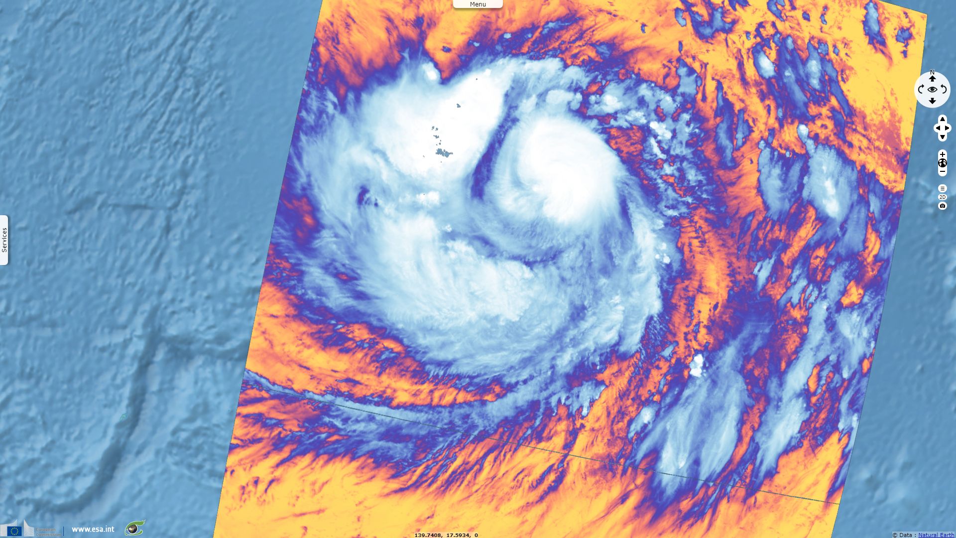
Sentinel-3 SLSTR RBT acquired on 10 September 2018 from 00:04:48 to 00:07:48 UTC
Sentinel-3 SLSTR RBT acquired on 11 September 2018 from 12:21:31 to 12:24:31 UTC
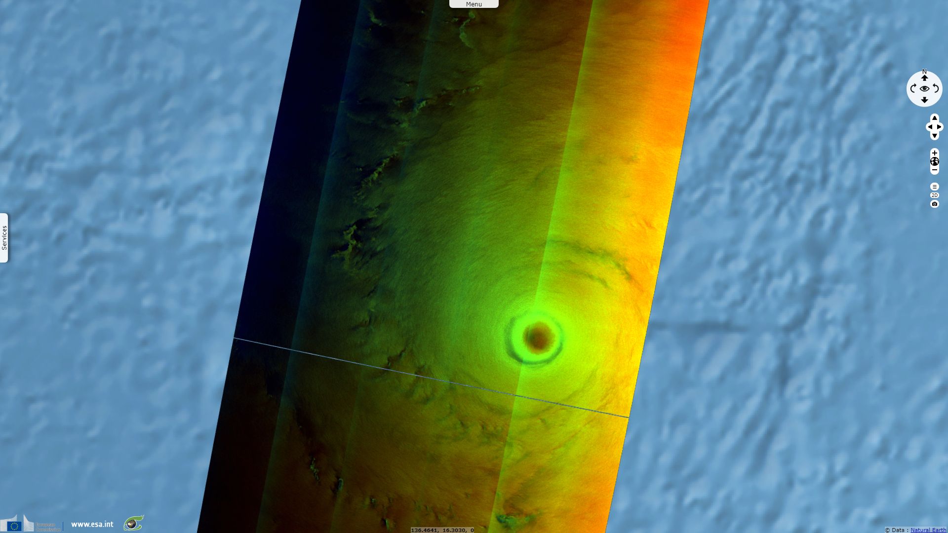
Sentinel-1 CSAR EW acquired on 11 September 2018 from 20:47:51 to 20:48:55 UTC
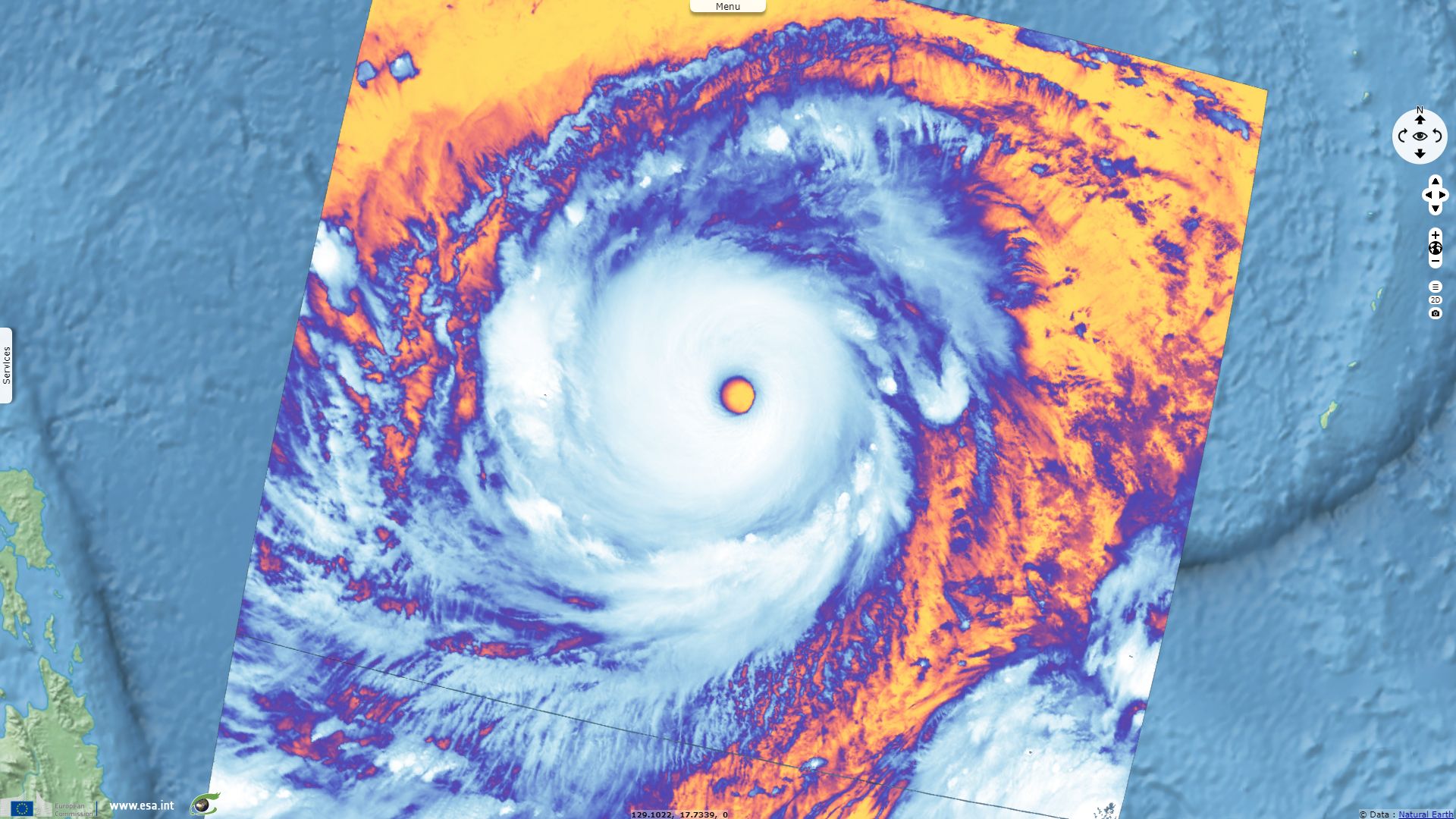
Sentinel-3 SLSTR RBT acquired on 12 September 2018 from 00:53:26 to 00:56:26 UTC
Keyword(s): Emergency, natural disaster, atmosphere, storm, climate change, wind, rain, cyclone, hurricane, Philippines


