10 000 years old city to be drown by Ilısu dam
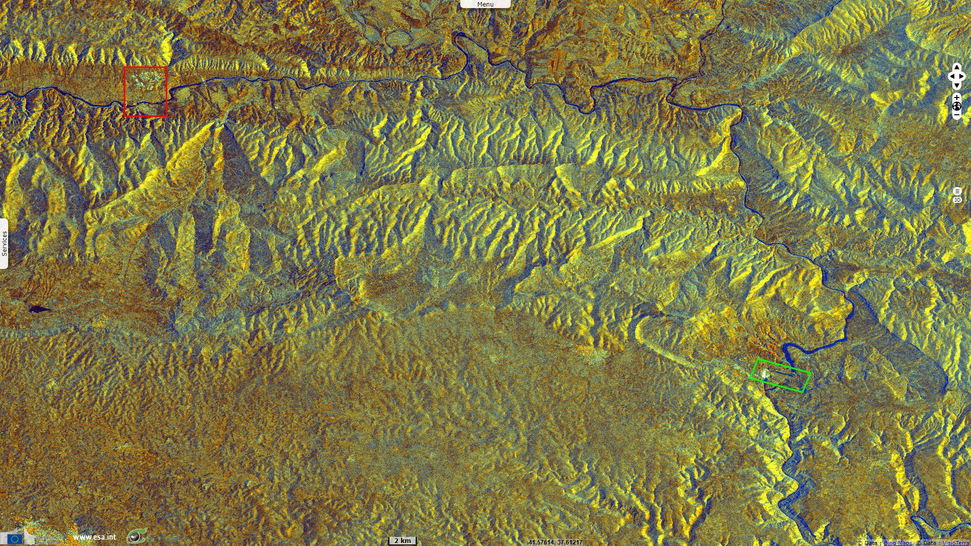
Sentinel-1 CSAR IW acquired on 03 October 2014 at 15:08:47 UTC
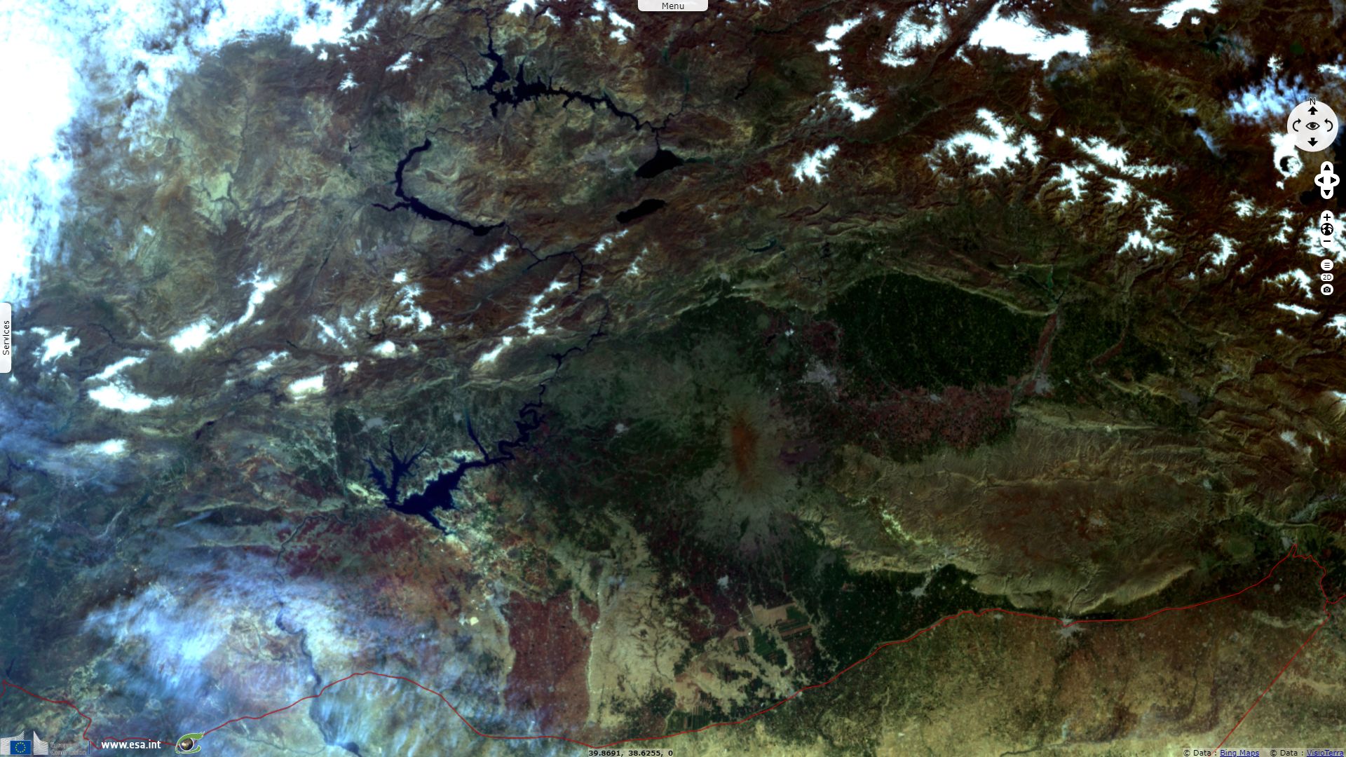
Sentinel-2 MSI acquired on 14 August 2015 at 08:00:16 UTC
Sentinel-3 OLCI FR acquired on 22 March 2018 at 07:42:31 UTC
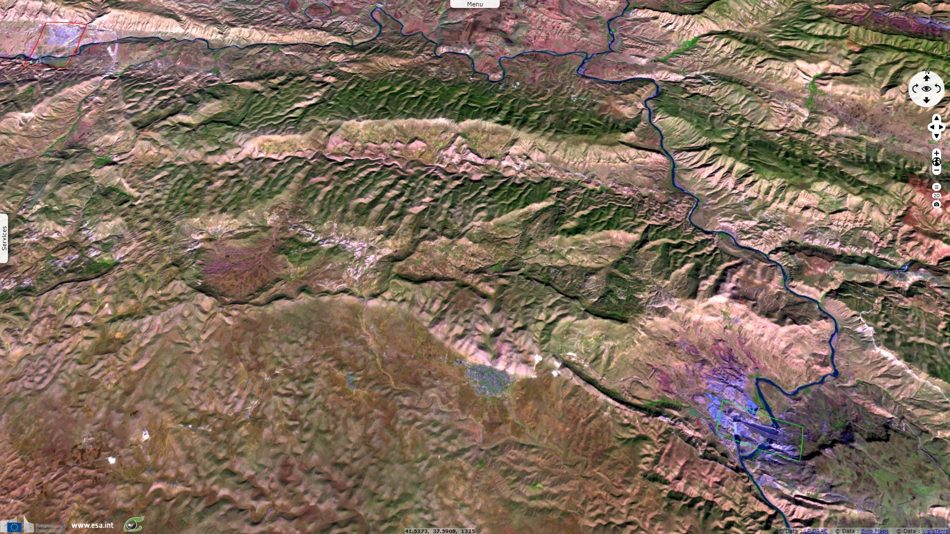
Sentinel-2 MSI acquired on 01 November 2018 at 08:00:49 UTC
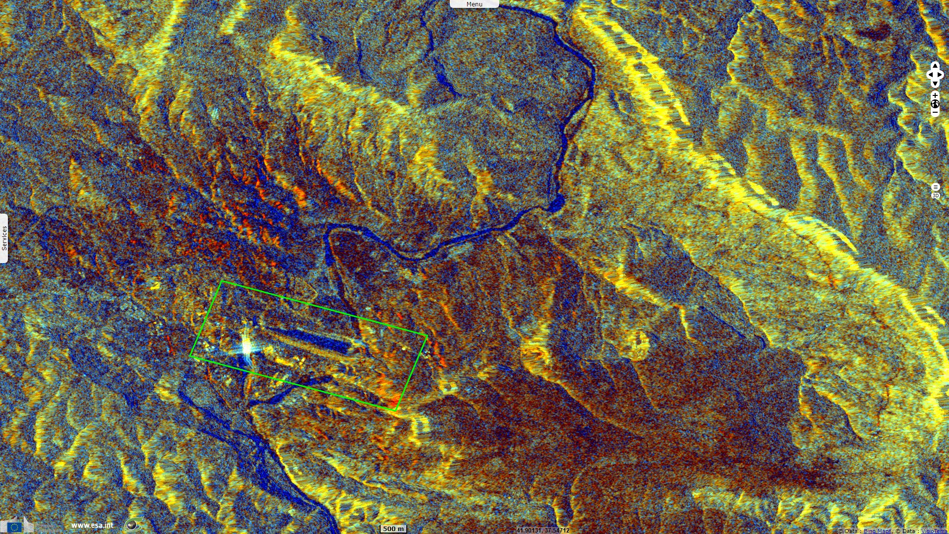
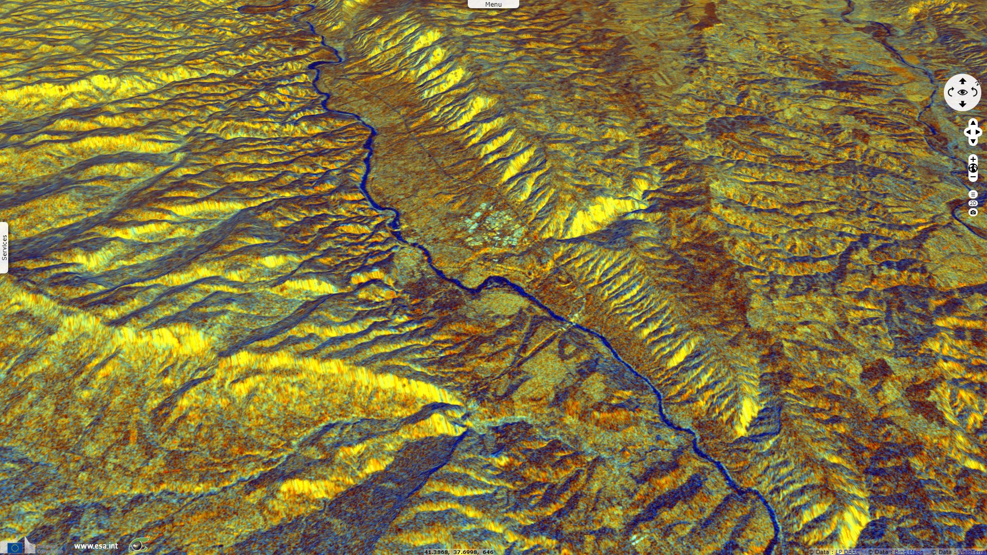
Sentinel-1 CSAR IW acquired on 04 January 2019 at 03:17:41 & 15:08:32 UTC
Sentinel-2 MSI acquired on 14 August 2015 at 08:00:16 UTC
Sentinel-3 OLCI FR acquired on 22 March 2018 at 07:42:31 UTC
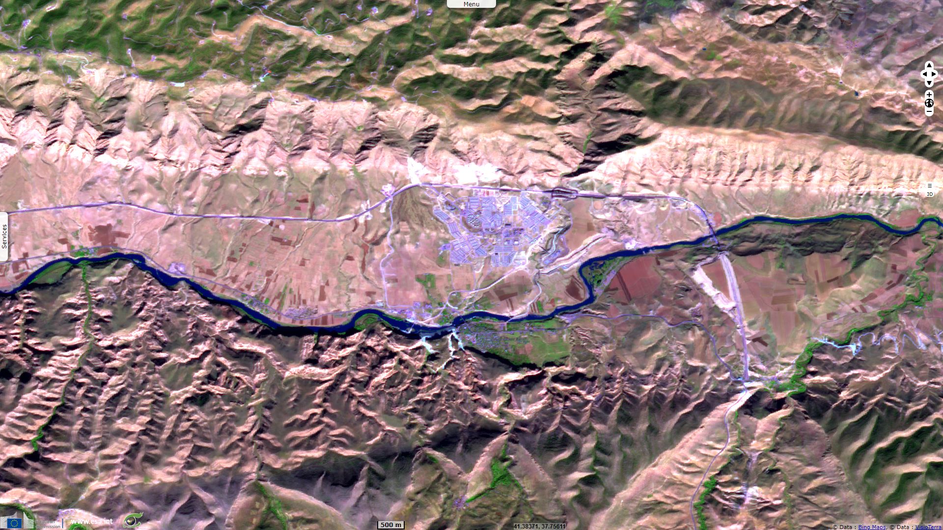
Sentinel-2 MSI acquired on 01 November 2018 at 08:00:49 UTC
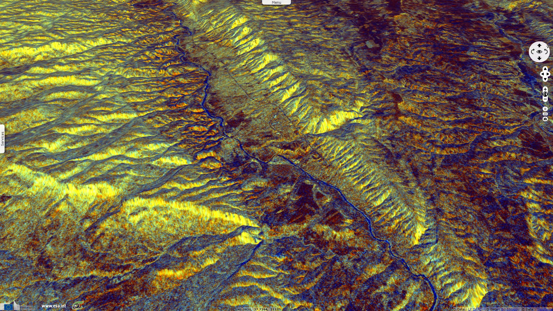
Sentinel-1 CSAR IW acquired on 04 January 2019 at 03:17:41 & 15:08:32 UTC
Keyword(s): Land, urban, hydrology, food security, renewable energy, hydropower, agriculture, irrigation, dam, Turkey
The Southeastern Anatolia Project is a huge development project that aims to increase electricy and water ressources in the lesser developped south-east of Turkey, a region mostly inhabited by Kurdish people. Started at the end of the 1980s, the project takes place in the context of lasting political, ethnical, economical, cultural and security tensions.

Dams locations within the Southeastern Anatolia Project - Source: United States Department of Agriculture
The Southeastern Anatolia Project involves the construction of multiple dams on the Tigris and Euphrates, the Turkish government presents the project as a way to reduce the gap between this region and the rest of the country:
"The region of Southeastern Anatolia extending over wide plains in the basins of the lower Euphrates and the Tigris covers the administrative provinces of Adiyaman, Batman, Diyarbakir, Gaziantep, Kilis, Mardin, Siirt, Sanliurfa and Sirnak. The region is bordered by Syria to the south and Iraq to the southeast. The surface area of the region is 75 358 km² constituting 9.7 % of the total surface area of the country. Turkey has 85 000 km² of irrigable land and about 20 % of this land is in Southeastern Anatolia.
Coined as "Fertile Crescent" or "Upper Mesopotamia", the region is also commonly referred to as "cradle of civilisations." Throughout history, the region served as a bridge connecting Anatolia with Mesopotamia.
The two major rivers of Turkey, the Euphrates and the Tigris, flow through Southeastern Anatolia. Originating from Eastern Anatolia, both of these rivers flow to the Persian Gulf. Compared to other geographical regions in the country, Southeastern Anatolia receives less precipitation. Hence plans have been made to harness the waters of the Euphrates and the Tigris for irrigation and hydraulic energy production purposes."
"Beyond dams, hydraulic power plants and irrigation facilities on the Euphrates and the Tigris, the Southeastern Anatolia Project represents a comprehensive regional development effort based on a multi-sector, integrated and sustainable development approach targeting the full-fledged development of the region including investments and services in urban and rural infrastructure, transportation, industry education, health, housing, tourism and various other sectors."

"Upon the completion of the project, facilities on the Euphrates and the Tigris, which together flow more than 50 billion cubic meters of water a year, will bring 28% of the total water potential of Turkey under control, introduce irrigated farming to a land extending over 1.7 million hectares and annually produce 27 billion kWh hydraulic energy with an installed capacity of 7476 megawatt.
The agricultural and industrial potential of the region boosted through the GAP will raise the income level of the region fivefold and create employment for about 3.8 million people in the region."
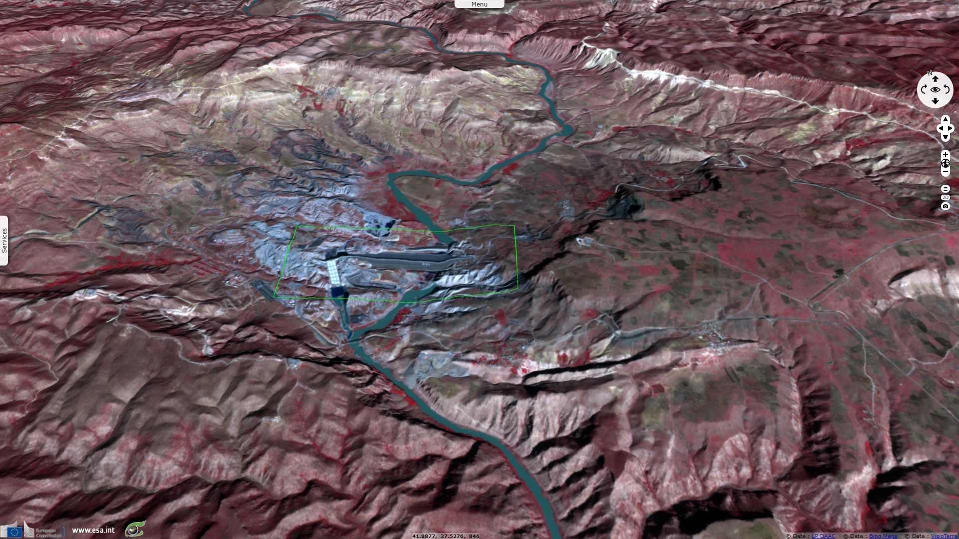
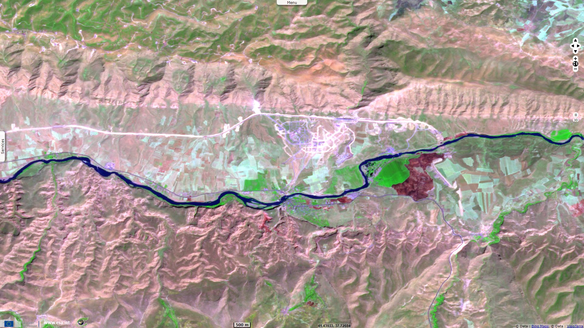
The dams foreseen in the project will however drown some areas located in upstream valleys. The most important dispute revolves around the 10 000 years-old Kurdish city of Hasankeyf. An article published in the Smithsonian Magazine in March 2009 reminds its importance:
"The waters of the Tigris River gave rise to the first settlements of the Fertile Crescent in Anatolia and Mesopotamia—the cradle of civilization. The ancient city of Hasankeyf, built on and around the banks of the river in southeastern Turkey, may be one of the oldest continuously inhabited settlements in the world, spanning some 10,000 years. Hasankeyf and its surrounding limestone cliffs are home to thousands of human-made caves, 300 medieval monuments and a unique canyon ecosystem—all combining to create a beguiling open-air museum.
But the city, along with the archaeological artifacts still buried beneath it, is slated to become a sunken treasure. Despite widespread protests from local authorities, archaeologists, architects, preservationists and environmental groups, the massive hydroelectric Ilisu Dam is expected to be completed in 2013. The reservoir created by the dam will inundate the site's caves and flood most of its structures.
"
"More than 20 cultures have left their mark at Hasankeyf. The first settlers probably lived along the Tigris in caves carved into the rock cliffs. (The ancient Assyrian name for the place was Castrum Kefa, meaning 'castle of the rock.') The Romans built a fortress there circa A.D. 300 to patrol their empire's eastern border with Persia and monitor the transport of crops and livestock. In the fifth century A.D., the city became the Byzantine bishopric of Cephe; it was conquered in A.D. 640 by the Arabs, who called it Hisn Kayfa, or 'rock fortress.' Hasankeyf would next be successively ruled by the Turkish Artukid dynasty, the Ayyubids (a clan of Kurdish chieftains) and the Mongols, who conquered the region in 1260."

Hasankeyf is home to thousands of human-made caves, hundreds of medieval monuments and a rich-ecosystem - Source: Smithsonian Magazine.
"'About 200 different sites will be affected by the Ilisu Dam,' says Zeynep Ahunbay, a professor of architectural history at Istanbul Technical University. 'But Hasankeyf is the most visible and representative of all, due to its picturesque location and rich architectural content. It is one of the best-preserved medieval sites in Turkey.'"
"The consortium of German, Swiss, Austrian and Turkish contractors charged with erecting the Ilisu Dam has already begun constructing a bridge and service roads for the transportation of building materials. The [138 m]-high dam will hold back the waters of the Tigris just before it flows into Syria and Iraq, creating a massive [313 km²] reservoir that will raise the water level in Hasankeyf more than [60 m]. The consortium and the Turkish government maintain that the dam will provide power and irrigation to the area, encourage local development and create jobs. And, they say, the reservoir will be a magnet for tourists and water sports.

Hasankeyf survived even its devastation by Mongols - Source: Yekta Uzunoğlu
Opponents counter that most of the electricity generated by the dam will go to the big industrial centers in the west of the country. They advocate developing alternative energy sources instead, such as wind and solar power, and promoting cultural and environmental tourism."
Exiled Kurdish politician Yekta Uzunoğlu wrote in his blog:
"The city, despite being on purpose neglected by Turkish authorities, fulfills 9 out of 10 criteria that UNESCO requires for including a sight to the list of world cultural heritage. Specialists say that it would easily fulfill all 10 if Turkish authorities showed at least a little effort.
Turkey has done nothing because it wants to drown all the city in water of a dam and get rid out of everything that does not have anything in common with islam and what, at least by far, reminds of Christianity or Zoroastrianism, Yazidis or Jews. Despite Mogolian barbarity the city has preserved memories of all of them. Even as little as it has remained disturbs Ankara rulers so much that they decided to build a dam just upstream of the city and sink in its waters all that Mongols did not manage to destroy."
The views expressed herein can in no way be taken to reflect the official opinion of the European Space Agency or the European Union.
Contains modified Copernicus Sentinel data 2026, processed by VisioTerra.
Contains modified Copernicus Sentinel data 2026, processed by VisioTerra.
| More on European Commission space: |  |
 |
 |
||||
| More on ESA: | |
|
|
S-1 website | S-2 website | S-3 website | |
| More on Copernicus program: | |
|
|
Scihub portal | Cophub portal | Inthub portal | Colhub portal |
| More on VisioTerra: | |
|
|
Sentinel Vision Portal | Envisat+ERS portal | Swarm+GOCE portal | CryoSat portal |