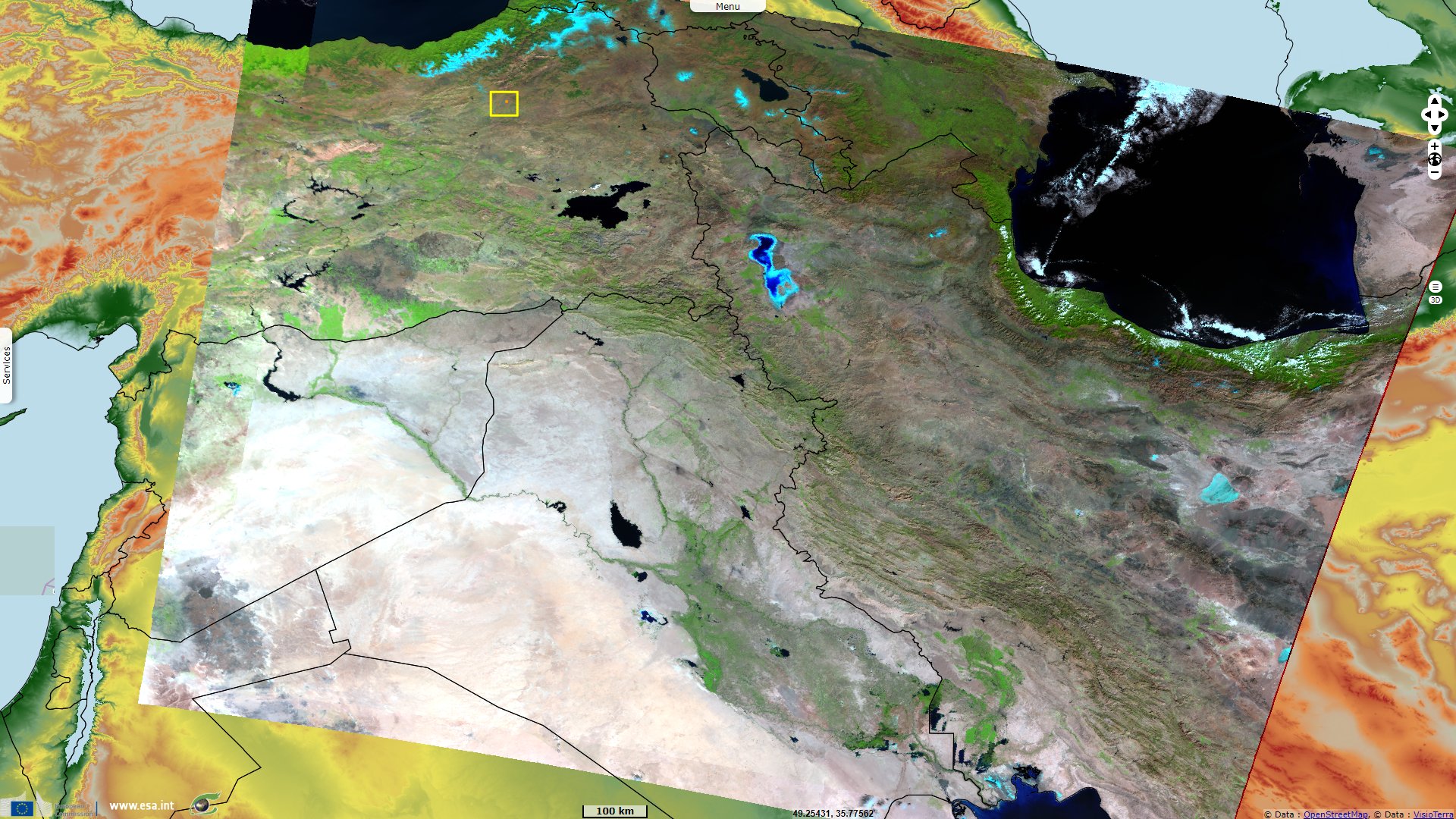
At the crossroads of Persian Gulf, Black & Caspian Seas
Sentinel-3 OLCI FR acquired on 03 October 2016 at 07:12:34 UTC
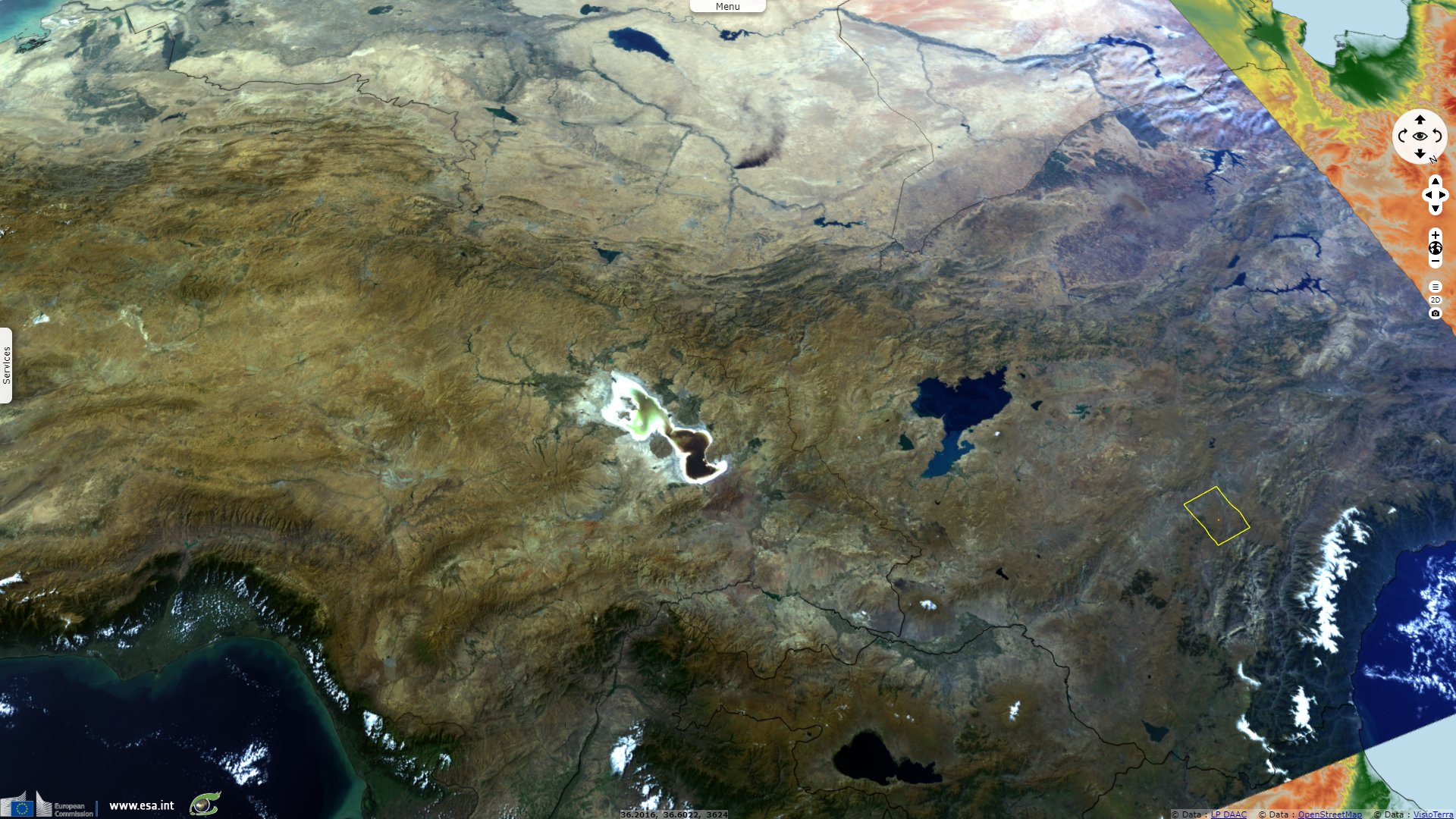
Sentinel-3 SLSTR RBT acquired on 20 October 2017 at 07:08:51 UTC
Sentinel-3 SLSTR RBT acquired on 18 September 2019 at 07:12:46 UTC
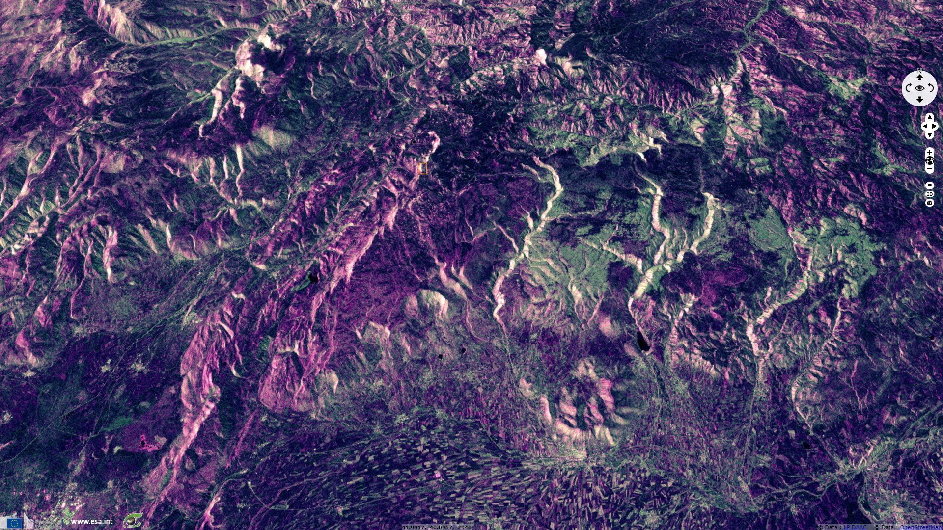
Sentinel-1 CSAR IW acquired on 01 October 2019 at 15:10:00 UTC
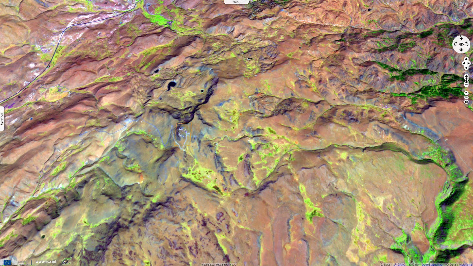
Sentinel-2 MSI acquired on 02 October 2019 at 07:57:41 UTC
Sentinel-3 SLSTR RBT acquired on 20 October 2017 at 07:08:51 UTC
Sentinel-3 SLSTR RBT acquired on 18 September 2019 at 07:12:46 UTC
Sentinel-1 CSAR IW acquired on 01 October 2019 at 15:10:00 UTC
Sentinel-2 MSI acquired on 02 October 2019 at 07:57:41 UTC
Keyword(s): Hydrology, river, mountain range, endorheic basin, Turkey.
The views expressed herein can in no way be taken to reflect the official opinion of the European Space Agency or the European Union.
Contains modified Copernicus Sentinel data 2026, processed by VisioTerra.
Contains modified Copernicus Sentinel data 2026, processed by VisioTerra.
| More on European Commission space: |  |
 |
 |
||||
| More on ESA: | |
|
|
S-1 website | S-2 website | S-3 website | |
| More on Copernicus program: | |
|
|
Scihub portal | Cophub portal | Inthub portal | Colhub portal |
| More on VisioTerra: | |
|
|
Sentinel Vision Portal | Envisat+ERS portal | Swarm+GOCE portal | CryoSat portal |