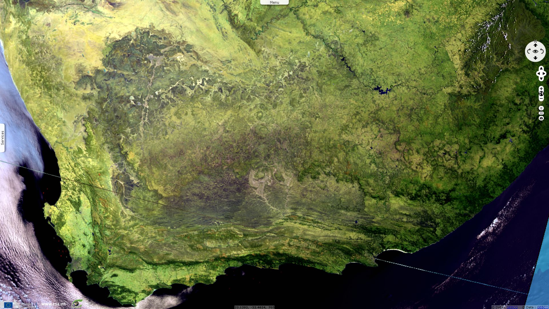
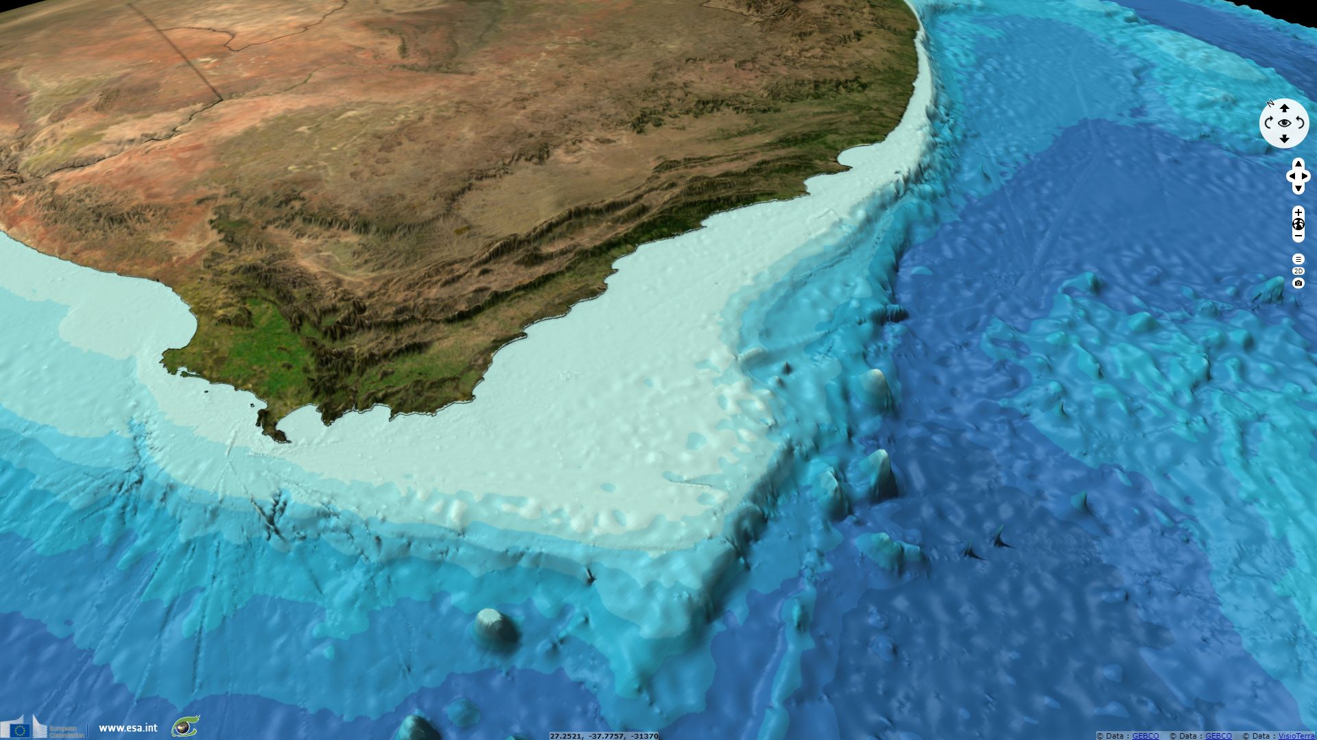
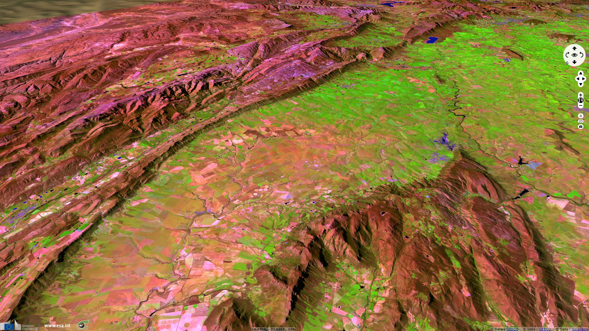
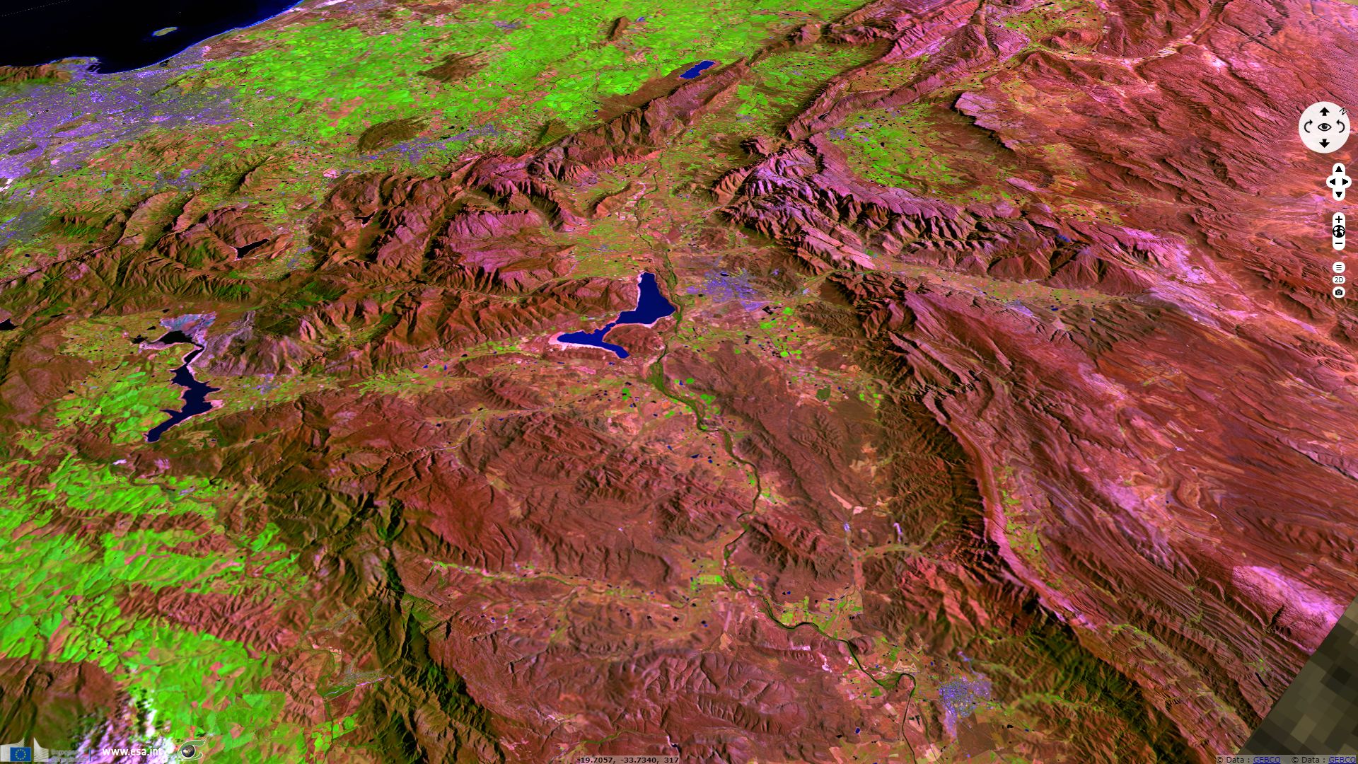
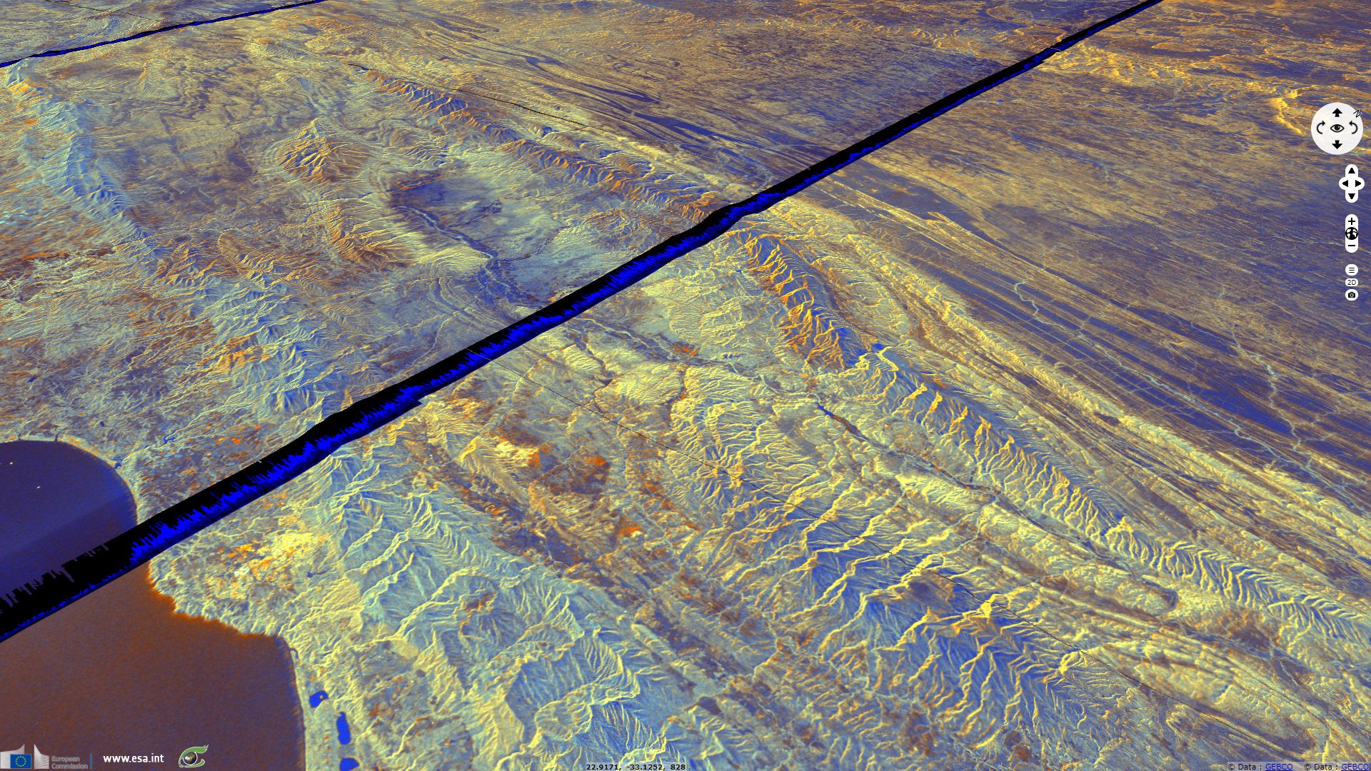
South African Great Escarpment
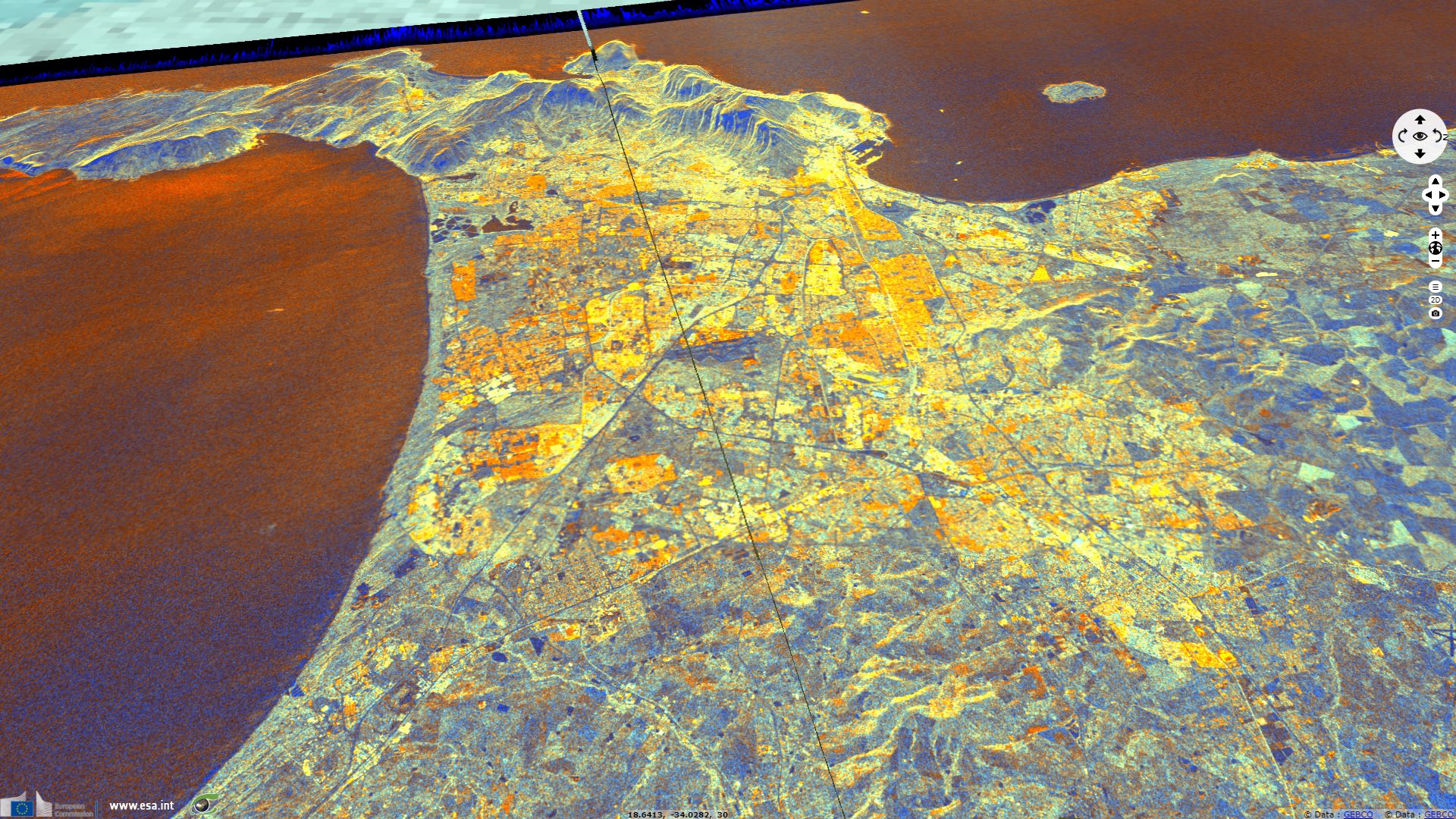
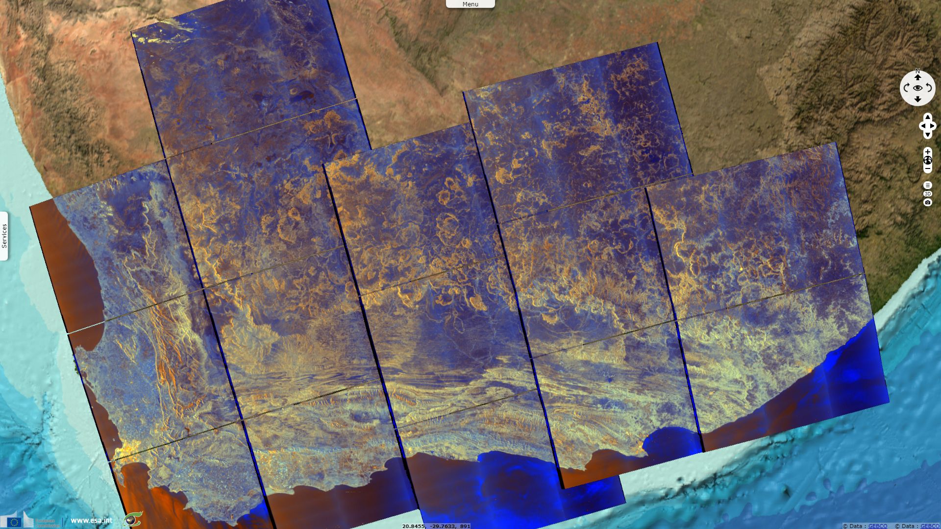
Sentinel-1 CSAR IW acquired on 30 August 2017 from 17:17:27 to 17:18:42 UTC
Sentinel-2 MSI acquired on 03 September 2017 at 08:19:59 UTC
...
Sentinel-1 CSAR IW acquired on 08 September 2017 from 16:53:05 to 16:53:30 UTC
Sentinel-3 SLSTR RBT acquired from 04 January 2018 to 07:59:47 UTC
Sentinel-2 MSI acquired on 03 September 2017 at 08:19:59 UTC
...
Sentinel-1 CSAR IW acquired on 08 September 2017 from 16:53:05 to 16:53:30 UTC
Sentinel-3 SLSTR RBT acquired from 04 January 2018 to 07:59:47 UTC
Keyword(s): Land, mountains, geology, faults, subduction, plateau, orogeny, South Africa
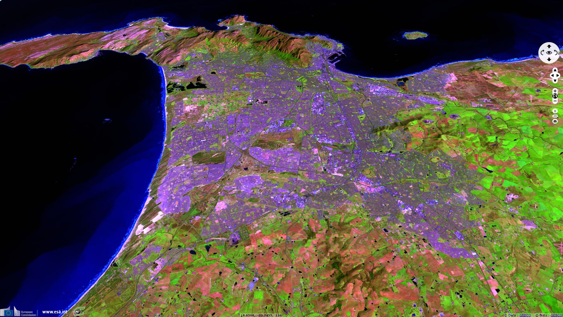


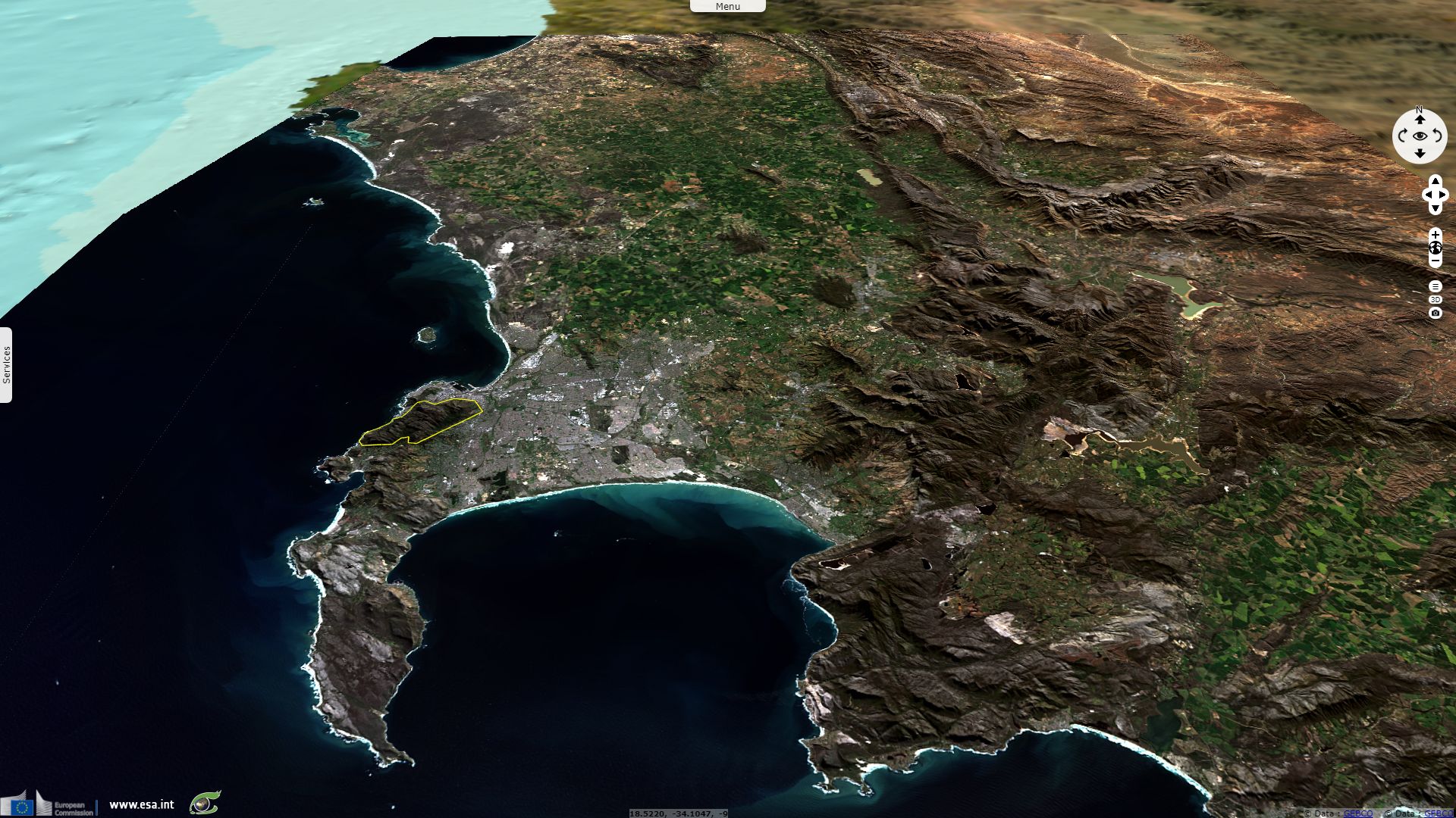
Table Mountain, Sandstone layers form the ramparts overlying a basement of Precambrian slates and granite - source: Cape Town University
Department of Geological Sciences of Cape Town University describes the Geology of the Cape Peninsula: "The late-Precambrian age Malmesbury Group is the oldest rock formation in the area, consisting of alternating layers of dark grey fine-grained greywacke sandstone and slate, seen along the rocky Sea Point and Bloubergstrand shorelines. These sediments were originally deposited on an ancient continental slope by submarine slumping and turbidity currents. The sequence was subsequently metamorphosed by heat and pressure and folded tightly in a NW direction so that the rock layers are now almost vertical.
The Peninsula Granite is a huge batholith that was intruded into the Malmesbury Group about 630 million years ago as molten rock (magma) and crystallized deep in the earth, but has since then been exposed by prolonged erosion. The contact zone where the Malmesbury Group was intruded by molten granite can be seen at Sea Point and was made famous by Charles Darwin during his voyage of scientific discovery on H.M.S. Beagle in 1844. Here, slivers of dark coloured Malmesbury rocks, altered by intense heat are intermingled and folded with the pale coloured intrusive granite to form a complex mixed rock (migmatite). Large feldspar crystals occur in both the granite and dark hornfels layers."
"Though initially intruded at great depth, prolonged erosion eventually exposed the granite at surface and it now forms a basement upon which younger sedimentary rocks of the Table Mountain Group were deposited.
- Table Mountain Group sandstones were deposited on this eroded surface of granite basement, in the stream channels and tidal flats of a coastal plain and delta environment that extended across the region about 450 million years ago. The sand, silt and mud deposits were lithified by pressure and then folded in the Cape Fold Belt, extending along the southern coast.
- The basal Graafwater Formation (300-450 m thick) consists of interlayered pale brown sandstone, laminated pink siltstone and dark maroon coloured shale. [...] Closer examination shows deposition cycles from current-bedded channel sandstones to increasing proportions of fine-grained maroon shales at the top, deposited in flood plains and lagoons.
- The Peninsula Formation (800-1500 m thick) consisting of hard, light grey coarse pebbly quartz sandstone, dominates the steep mountain cliffs. Current bedding and pebble layers suggest that it was originally deposited as migrating sand bars in broad river channels.
- The Pakhuis Formation tillite (a lithified glacial outwash gravel) occurs on the highest points of Table Mountain, such as Maclears Beacon. It contains clusters of angular boulders and pebbles and was deposited at a time when the Gondwana continent, of which Africa is a part, was situated close to the south pole. [...]
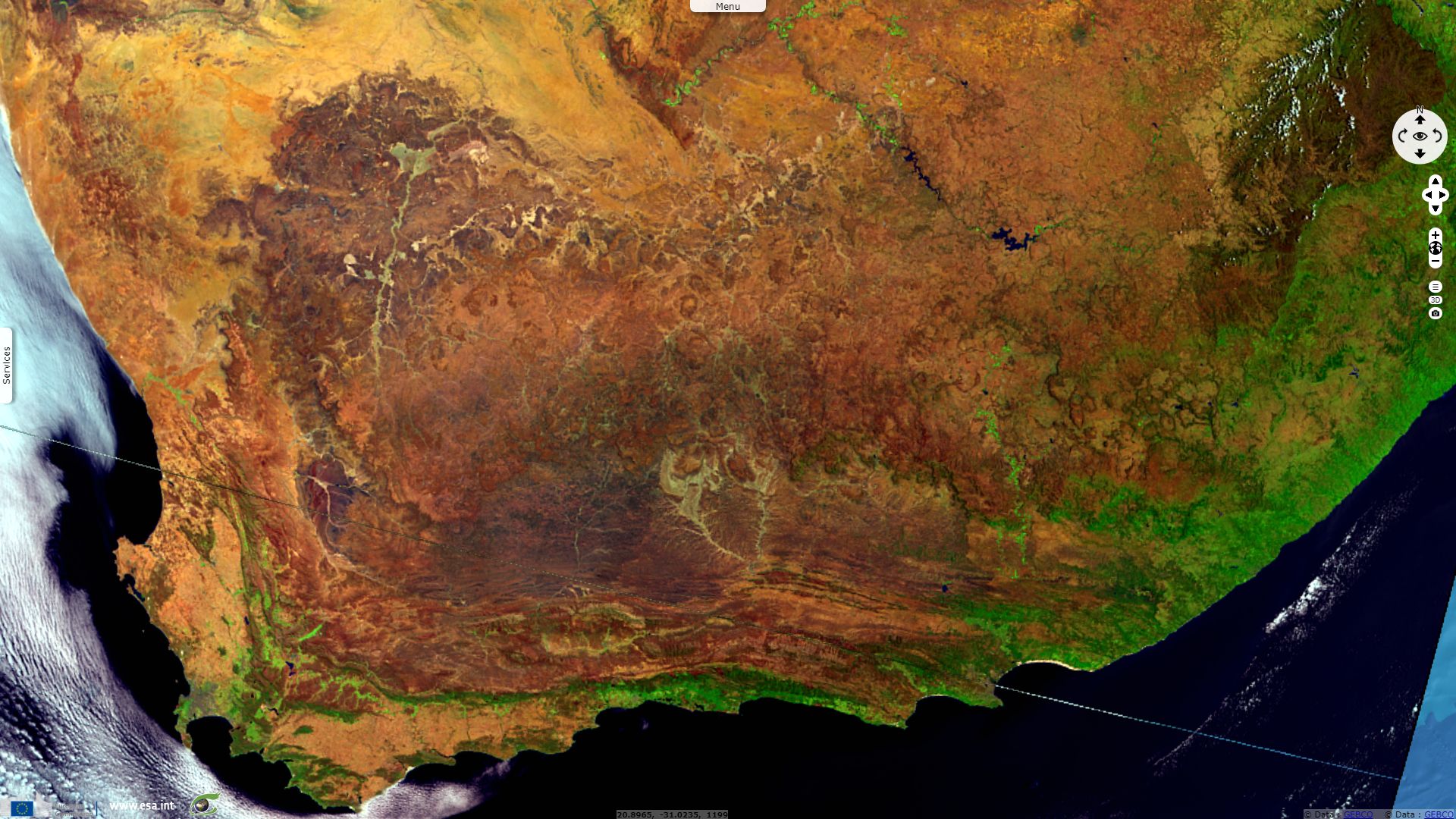
Cape Fold Mountains and the Great Escarpment don't share the same origin:
- As the closure of paleo-oceans caused the collision between South American and African cratons during the assembly of Gondwana (which also comprised Antarctica, Australia, India...) about 330 million years ago, orogeny rose the Cape Fold Mountains in modern South Africa.
- Just to the south, near the South Pole, the same process built an Himalayas-sized range on the portion of Gondwana called the "Falkland Plateau".
- The formation and orogeny of the Gondwana continent (which then merged with Laurussia, forming the Pangaea supercontinent) resulted in continent-wide glaciations similar to Antarctica.
- As wind, rain and ice slowly eroded the Falkland Plateau, sedimentation buried the Karoo region under kilometers thick layers of sediments.
- Rifts opened the Indian Ocean and the Atlantic Ocean, this process resulted in the orogeny of the Great Escarpment in South Africa by covering the region under a thick layer of lava.
- As the resistant lava layer is slowly abraded, underlying soft layers exposed are rapidly degraded, leading to a retreat of the Great Escarpment away from the coast.
- The erosion resistant dolerite that tops the Cape Fold Mountains is now exposed, it protects the soft layers below. Where the dolerite is absent, the landscape is eroded quickly.
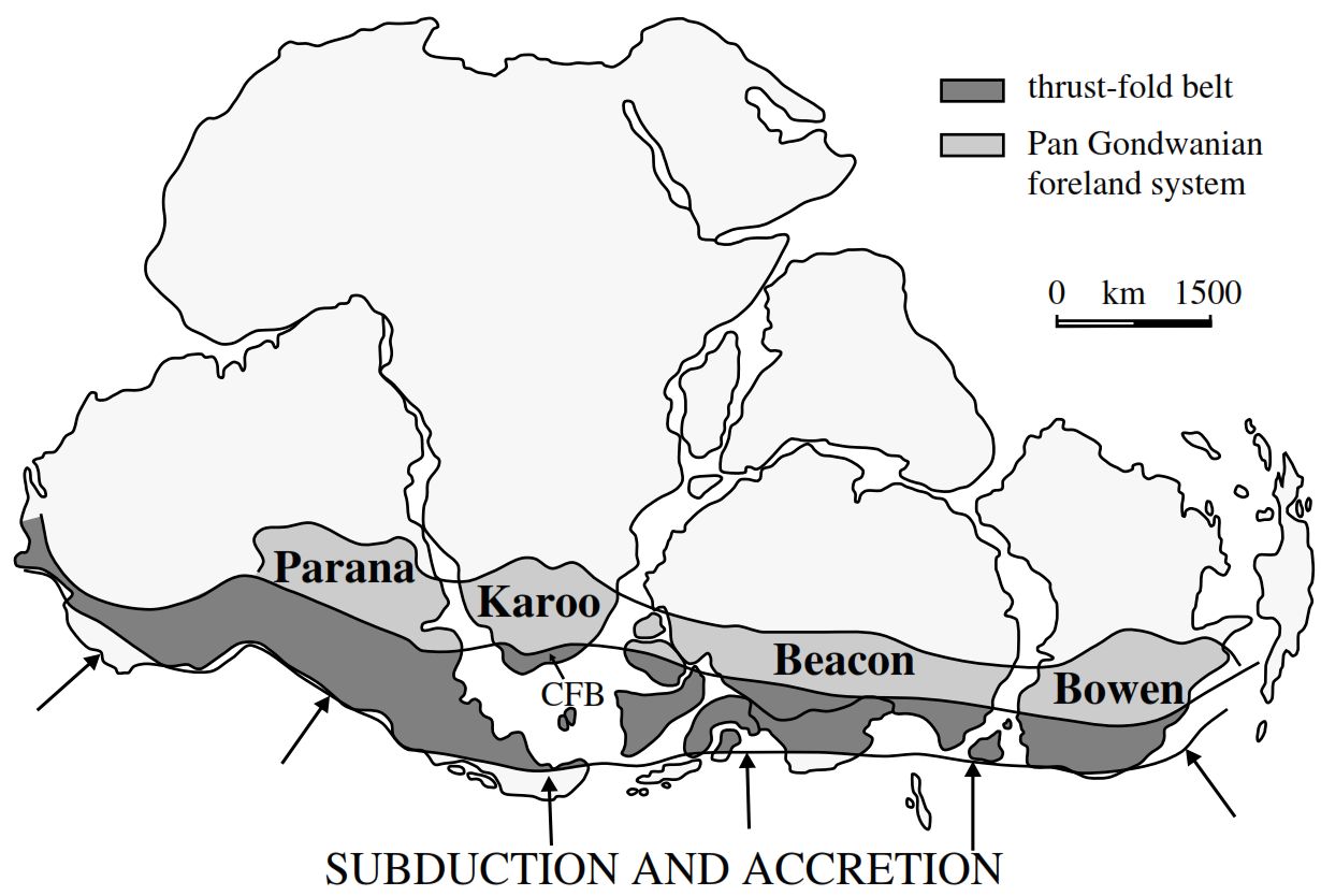
Paleogeographic reconstruction of Gondwana - source: Retroarc foreland systems - evolution through time
In this article, Octavian Catuneanu describes the phenonmenon that resulted in the formation of the Cape Fold Belt (CFB), the above image shows "the subduction from south to north of the paleo-Pacific plate beneath the supercontinent. As a result of compression and terrain accretion, a ca. 6000 km long fold-thrust belt formed along the southern margin of Gondwana, with an associated retroarc foreland system to the north. Following the breakup of Gondwana, portions of this foreland system are now preserved in South America, South Africa, Antarctica and Australia."
In the article The Karoo basins of south-central Africa, Octavian Catuneanu explains the formation of the Karoo Basins: "The Karoo basins of south-central Africa evolved during the first-order cycle of supercontinent assembly and breakup of Pangea, under the influence of two distinct tectonic regimes sourced from the southern and northern margins of Gondwana. The southern tectonic regime was related to processes of subduction and orogenesis along the Panthalassan (palaeo-Pacific) margin of Gondwana, which resulted in the formation of a retroarc foreland system known as the “main Karoo” Basin, with the primary subsidence mechanisms represented by flexural and dynamic loading. This basin preserves the reference stratigraphy of the Late Carboniferous–Middle Jurassic Karoo time, which includes the Dwyka, Ecca, Beaufort and Stormberg lithostratigraphic units.
North of the main Karoo Basin, the tectonic regimes were dominated by extensional or transtensional stresses that propagated southwards into the supercontinent from the divergent Tethyan margin of Gondwana. Superimposed on the tectonic control on basin development, climatic fluctuations also left a mark on the stratigraphic record, providing a common thread that links the sedimentary fill of the Karoo basins formed under different tectonic regimes."
Further East, the Great Escarpment extends toward Mozambique. In-between, it forms the impressive Drakensberg range shown in a previous story.
The views expressed herein can in no way be taken to reflect the official opinion of the European Space Agency or the European Union.
Contains modified Copernicus Sentinel data 2026, processed by VisioTerra.
Contains modified Copernicus Sentinel data 2026, processed by VisioTerra.
| More on European Commission space: |  |
 |
 |
||||
| More on ESA: | |
|
|
S-1 website | S-2 website | S-3 website | |
| More on Copernicus program: | |
|
|
Scihub portal | Cophub portal | Inthub portal | Colhub portal |
| More on VisioTerra: | |
|
|
Sentinel Vision Portal | Envisat+ERS portal | Swarm+GOCE portal | CryoSat portal |