Monsoon floods in lower Niger Basin
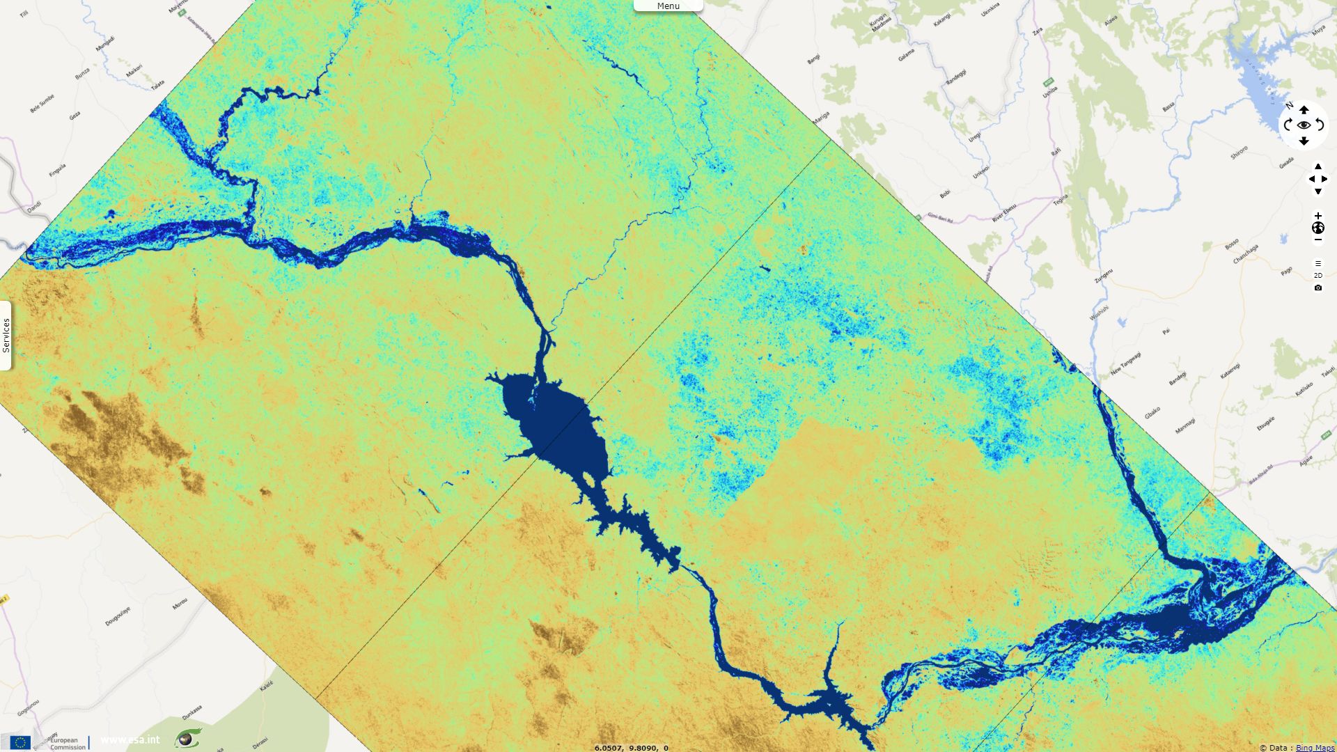
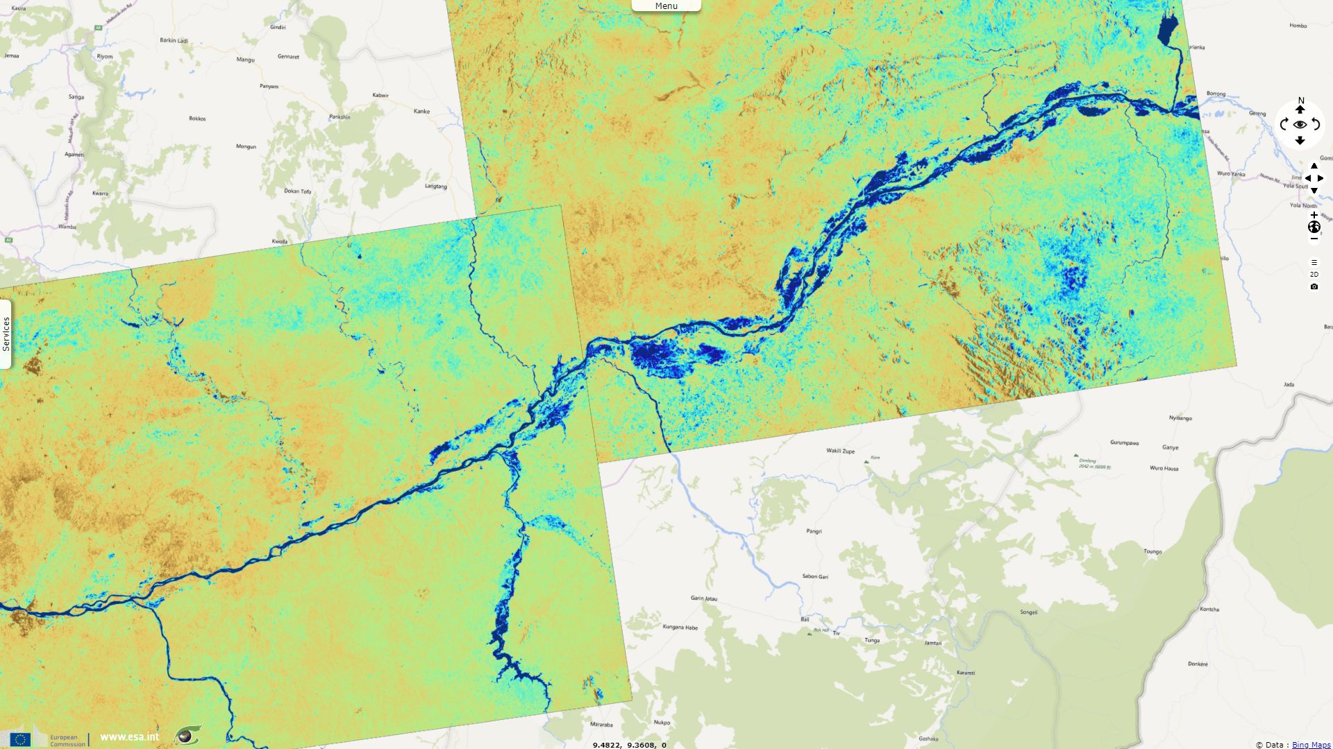
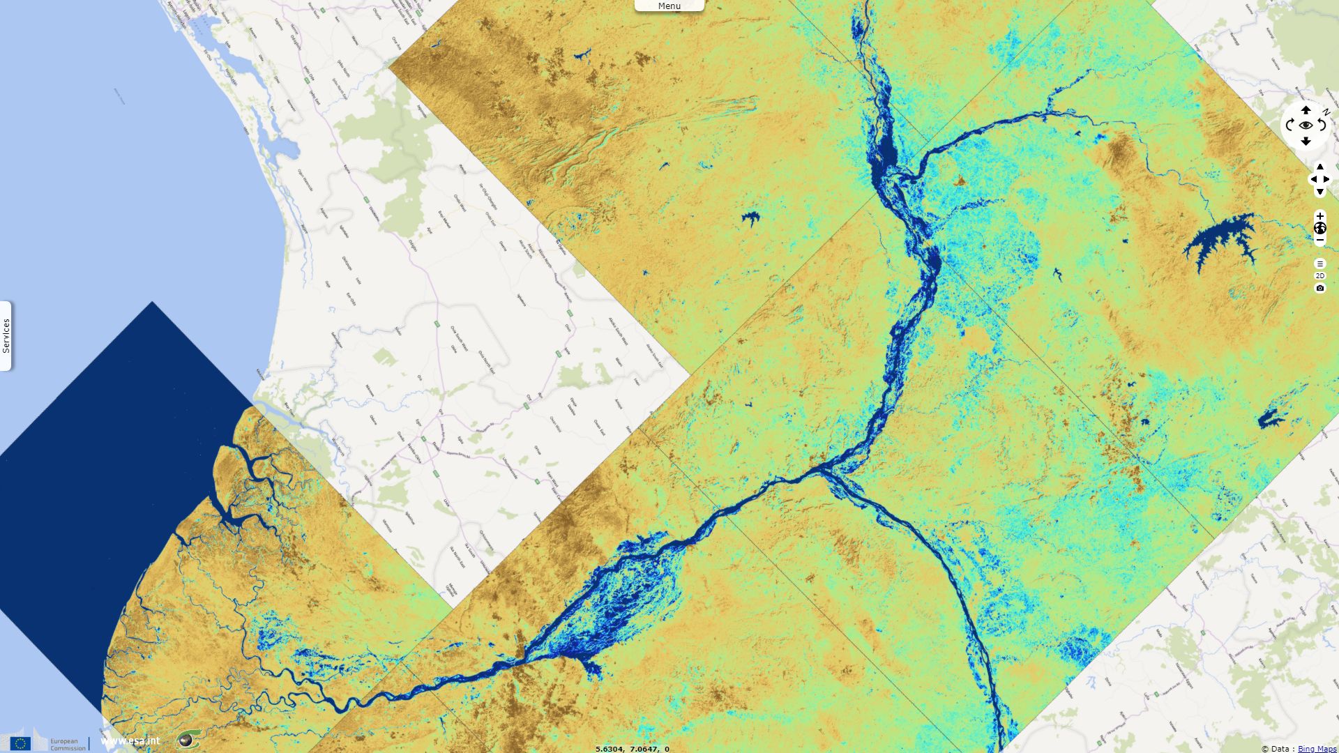
Sentinel-1 CSAR IW acquired on 16 August 2018 from 17:53:06 to 17:54:46 UTC
Sentinel-1 CSAR IW acquired on 18 August 2018 at 17:37:28 UTC
...
Sentinel-1 CSAR IW acquired on 03 October 2018 from 17:53:07 to 17:54:47 UTC
Sentinel-1 CSAR IW acquired on 18 August 2018 at 17:37:28 UTC
...
Sentinel-1 CSAR IW acquired on 03 October 2018 from 17:53:07 to 17:54:47 UTC
Keyword(s): Emergency, natural disaster, climate, land, river, flooding, rain, precipitations, Nigeria
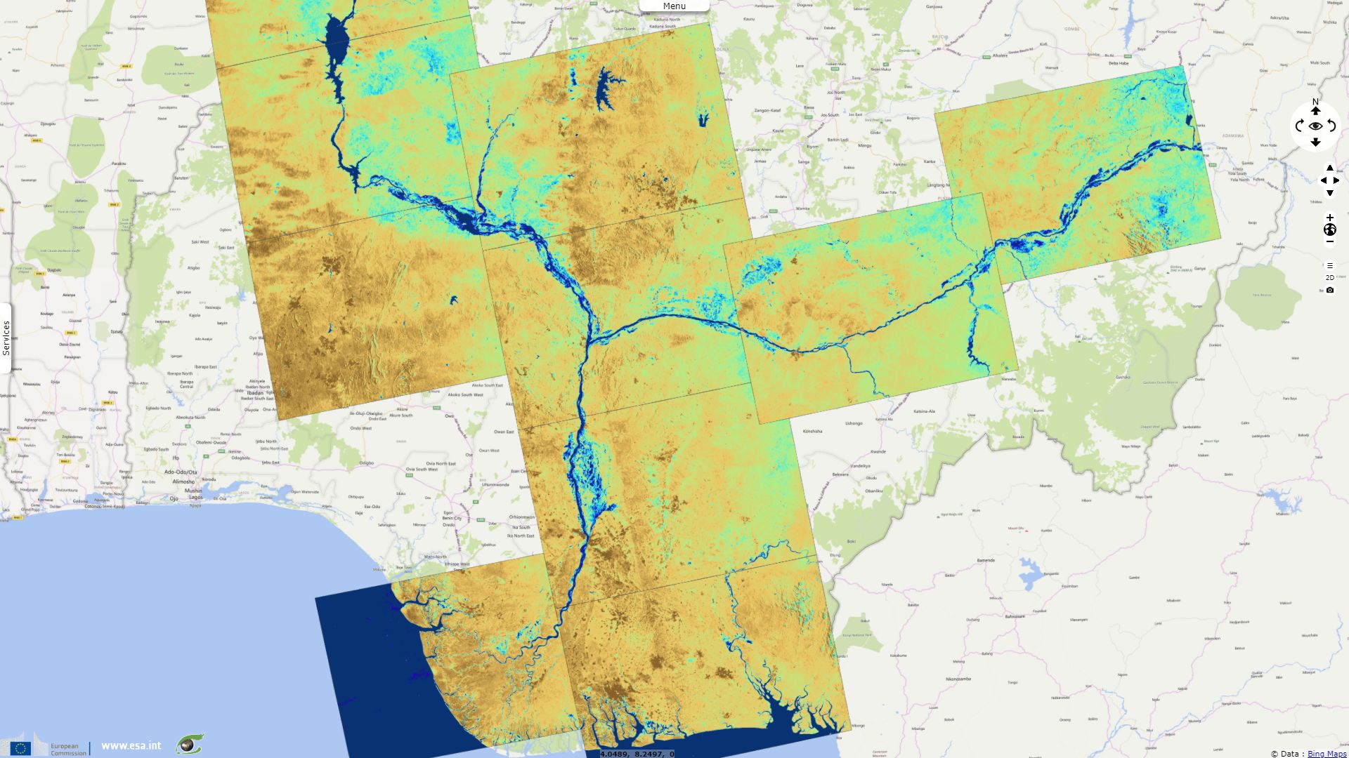
Niger flood displaced over 600000 people and killed at least 108. Venomous snakes fleeing the flood could significantly worsen the toll as in 2012.
The views expressed herein can in no way be taken to reflect the official opinion of the European Space Agency or the European Union.
Contains modified Copernicus Sentinel data 2026, processed by VisioTerra.
Contains modified Copernicus Sentinel data 2026, processed by VisioTerra.
| More on European Commission space: |  |
 |
 |
||||
| More on ESA: | |
|
|
S-1 website | S-2 website | S-3 website | |
| More on Copernicus program: | |
|
|
Scihub portal | Cophub portal | Inthub portal | Colhub portal |
| More on VisioTerra: | |
|
|
Sentinel Vision Portal | Envisat+ERS portal | Swarm+GOCE portal | CryoSat portal |