Plutonic intrusions & clues from an ancien hotspot within Monteregian Hills, Quebec, Canada
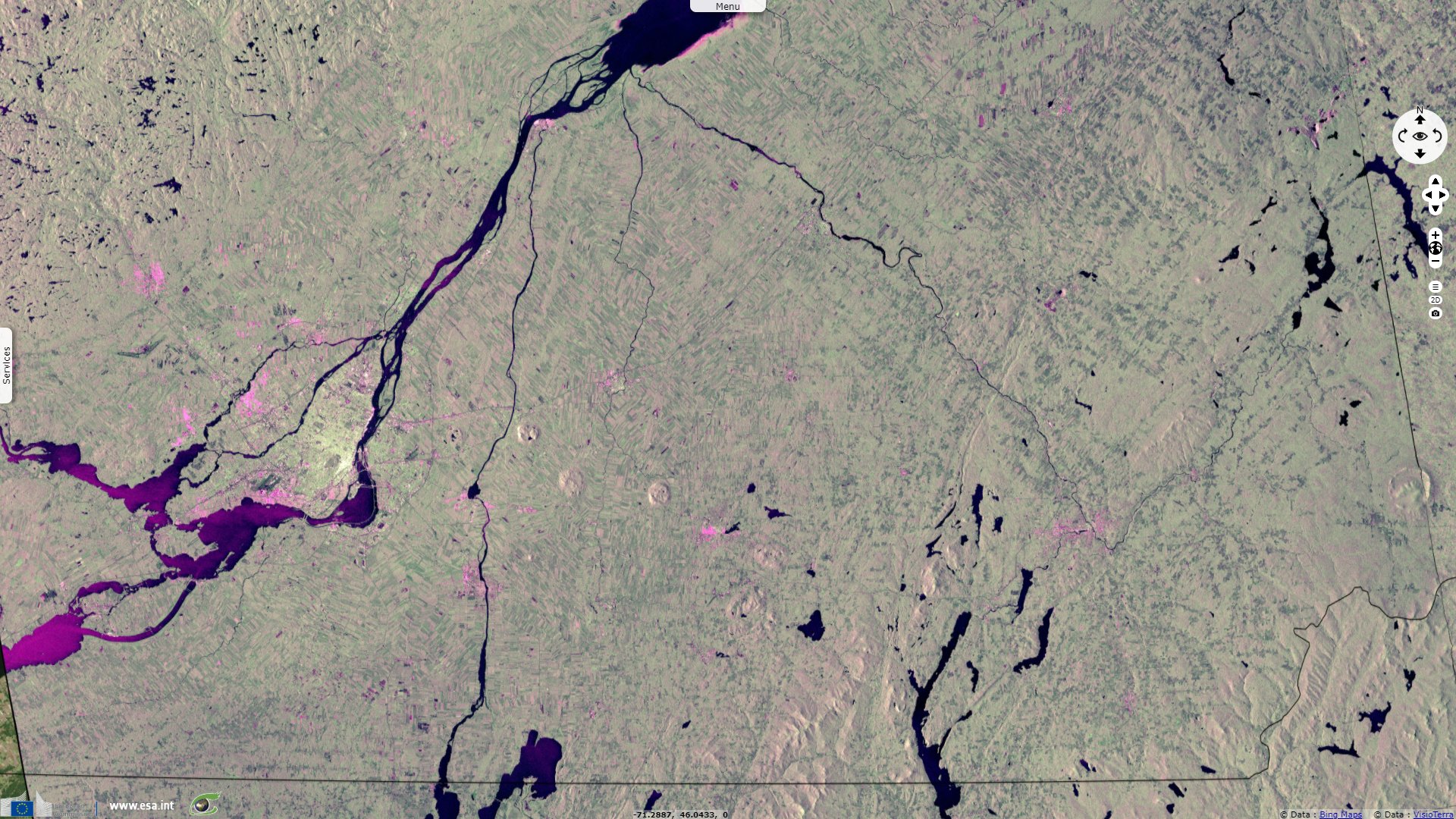
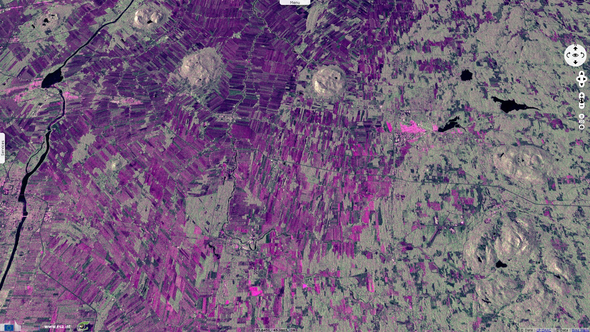
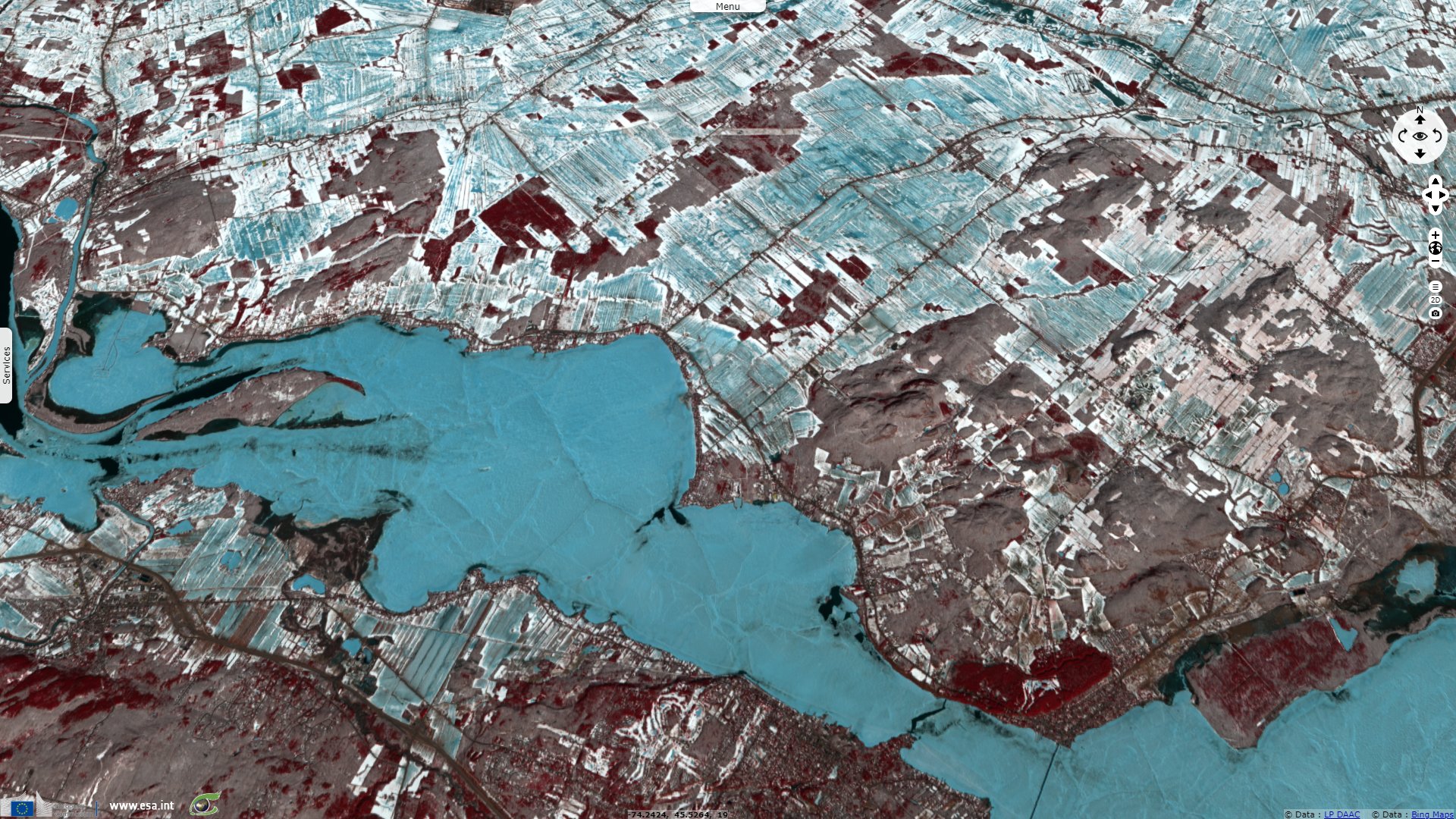
Sentinel-1 CSAR IW acquired on 04 August 2016 at 22:43:50 UTC
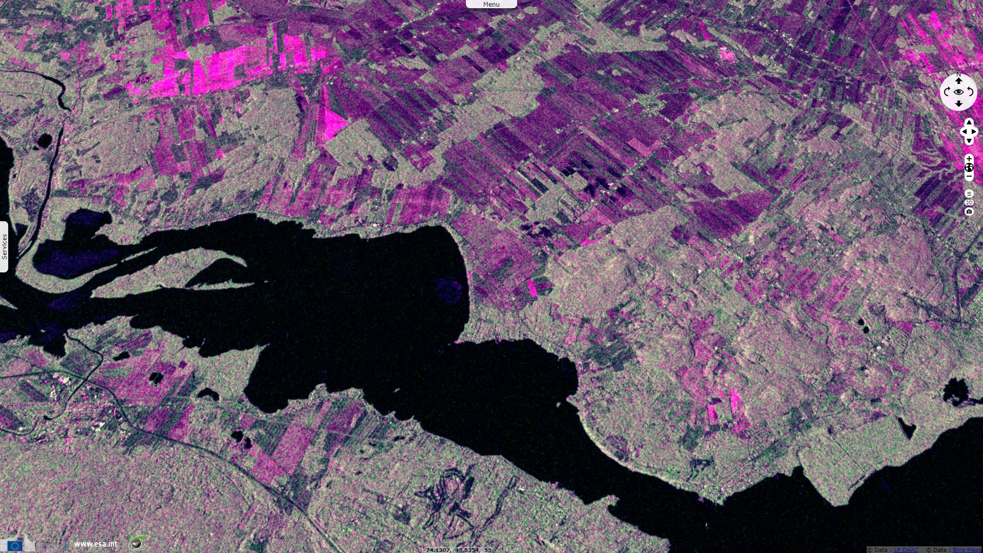
Sentinel-1 CSAR EW acquired on 11 August 2016 at 22:35:12 UTC
...
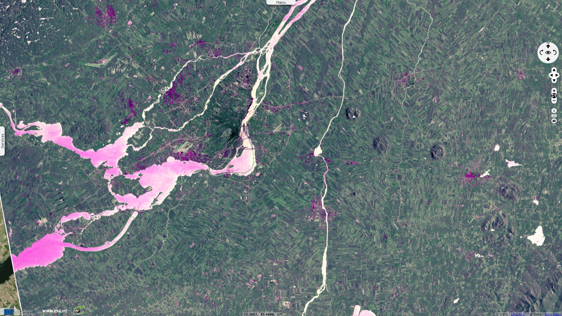
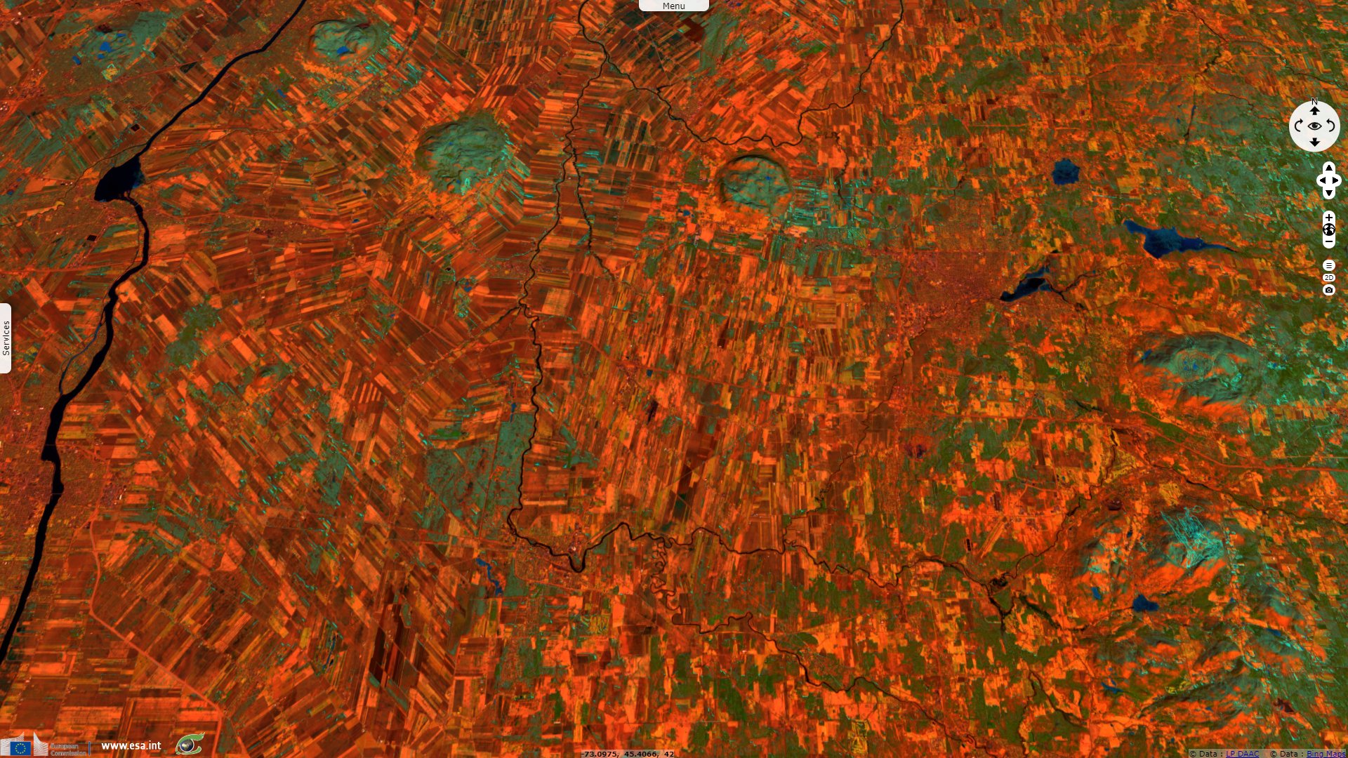
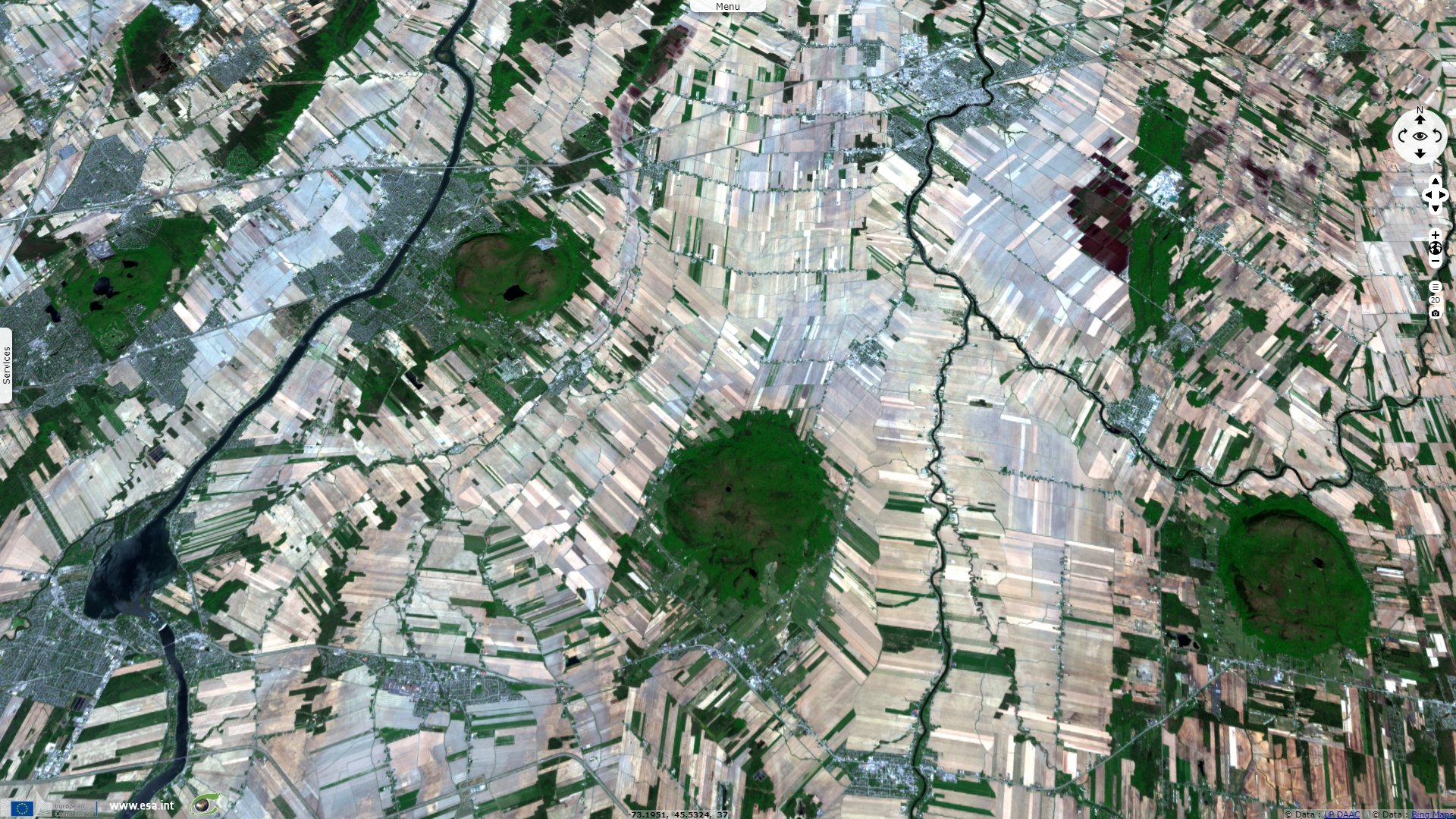
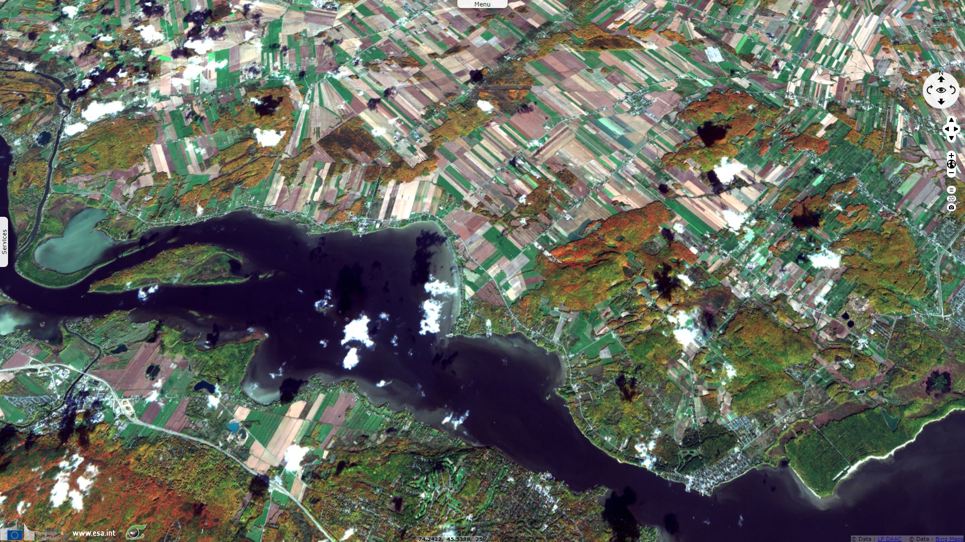
Sentinel-2 MSI acquired on 02 May 2020 at 15:38:09 UTC
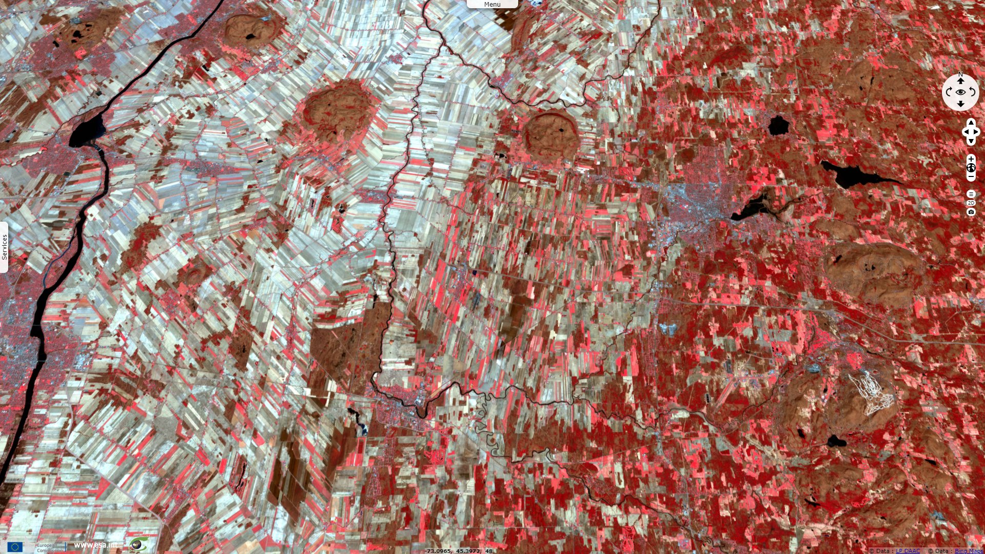
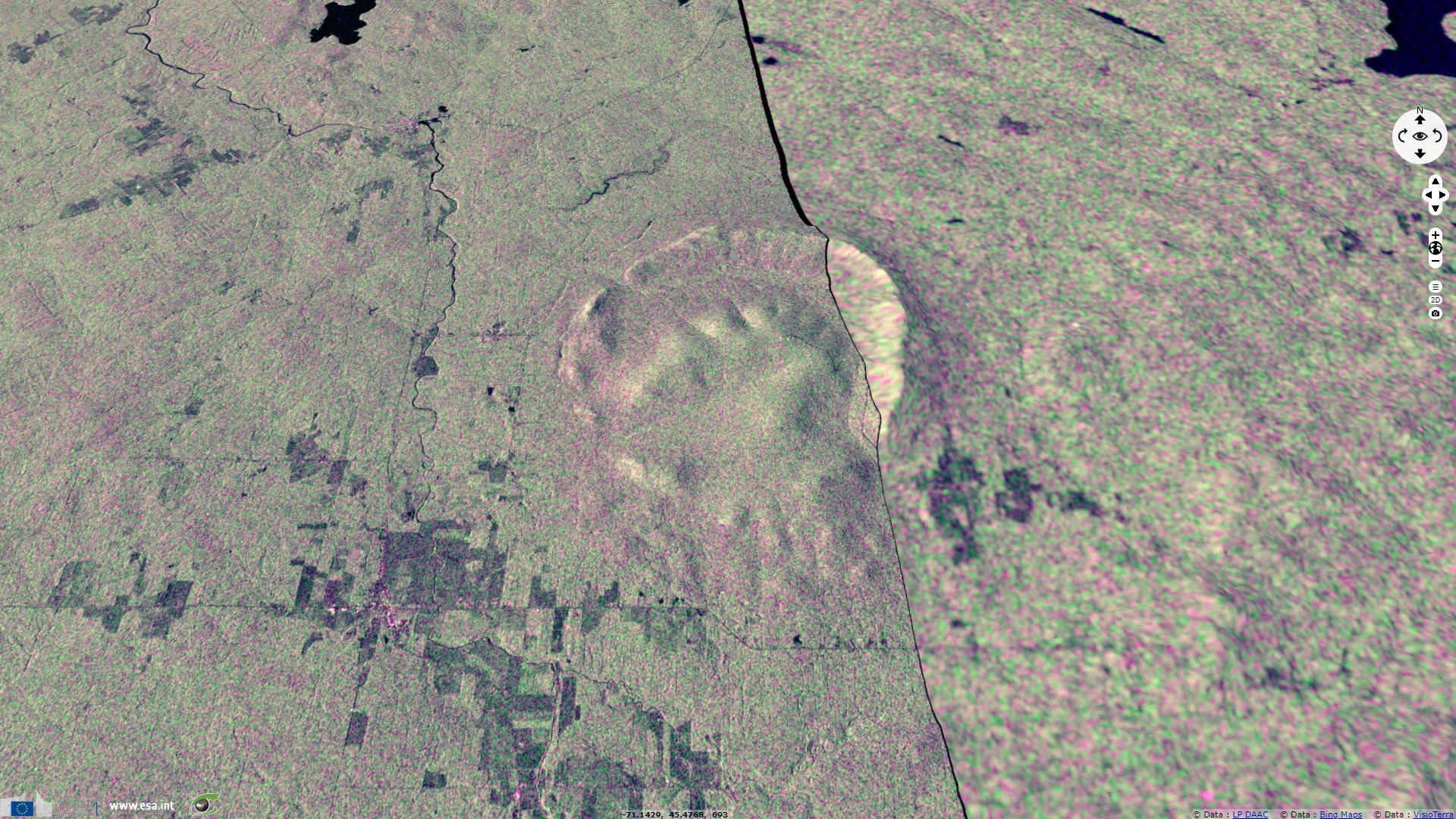
Sentinel-1 CSAR EW acquired on 11 August 2016 at 22:35:12 UTC
...
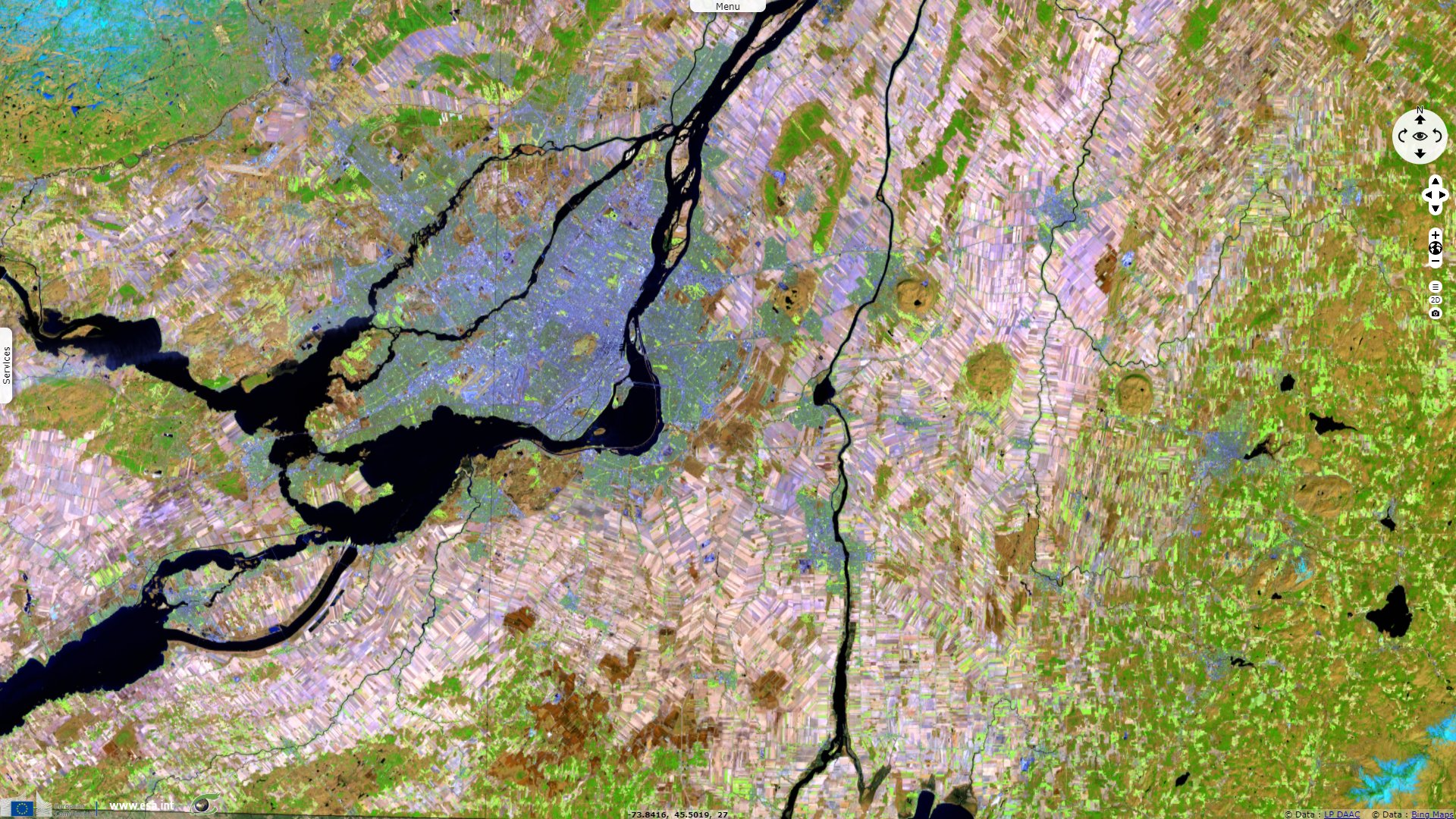
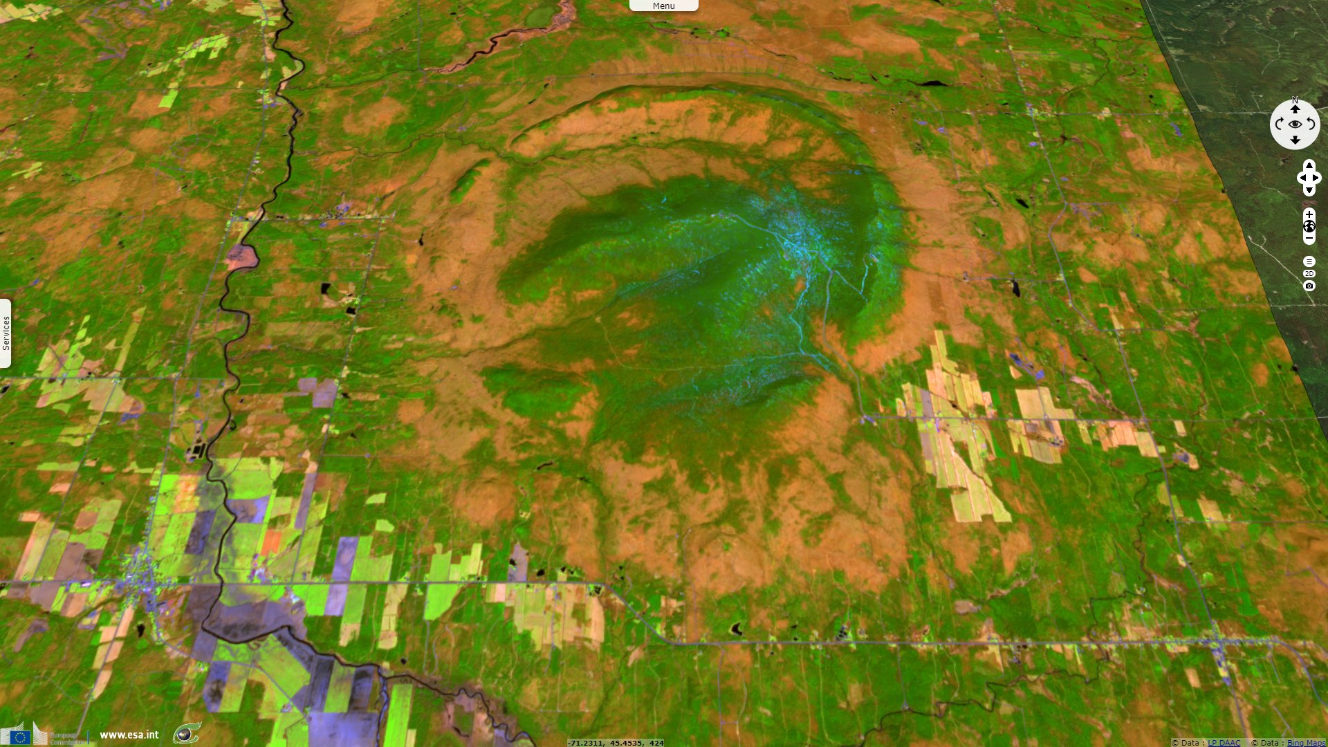
Sentinel-2 MSI acquired on 02 May 2020 at 15:38:09 UTC
Keyword(s): Land, geology, hills, hot spot, magmatism, St Lawrence river, Quebec, Canada
Pierre Bédard, teacher in Geology at university Polytechnique Montréal introduced his description of the Monteregian Hills as follows: The concept of a Monteregian geological province was developed by Adams (1898) who observed a similarity in the chemical composition of the rocks that form an east-west alignment of hills across the St. Lawrence Valley. These igneous rocks have a very different chemical composition from other igneous rocks. The word Monteregian comes from Monte Regii, Mount Royal, the best known of the Monteregian Hills.
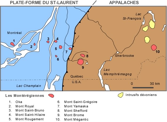
Left: Monteregian Hills - Source: Pierre-André Bourque
Pierre-André Bourque of the Department of Geology and Geological Engineering at University Laval, based in the city of Québec analysed the geologic context of the Monteregian Hills: The rocks of the Monteregian Hills are intrusive igneous rocks: diorite syenites and gabbros. Contrary to what is often said and even written, the Monteregian Hills are not ancient volcanoes. They are intrusives (plutons and dykes) that were deposited in the sedimentary layers of the St. Lawrence Platform and the Appalachians during the Cretaceous period and were exposed by post-Cretaceous erosion.
It is believed that the Monteregian Ridge is the result of magmatism related to the westward movement of the North American plate over a stationary hot spot known as the New England hotspot track. The chain continues eastward in the U.S. and aligns with a volcanic chain on the ocean floor in the abyssal Sohm Plain west of the Mid-Atlantic Ridge. The magmatism would not have pierced the entire continental crust above the hot spot, while at the level of the oceanic crust a chain of volcanoes has developed.
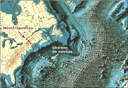
Right: Alignment of the Monteregian Hills with the New England Seamounts - Source: Pierre-André Bourque
The website of McGill University, based in Montréal, Québec, wrote about Mont St. Hilaire:
"During the Cretaceous era, about 130 million years ago, magma from deep in the earth began to well up and displace the crustal rocks already in place in our region. The magma rose to within 2000 metres of the surface, and then gradually cooled to form a strong core of igneous rock. Over millions of years the softer sedimentary rocks above and around this igneous rock mass were gradually eroded away. Eventually, the mass of igneous rock was revealed at the surface. The sedimentary rocks are about four times less durable than the igneous rock, so as erosion continued the igneous rock mass began to stand higher and higher above the surrounding plain."
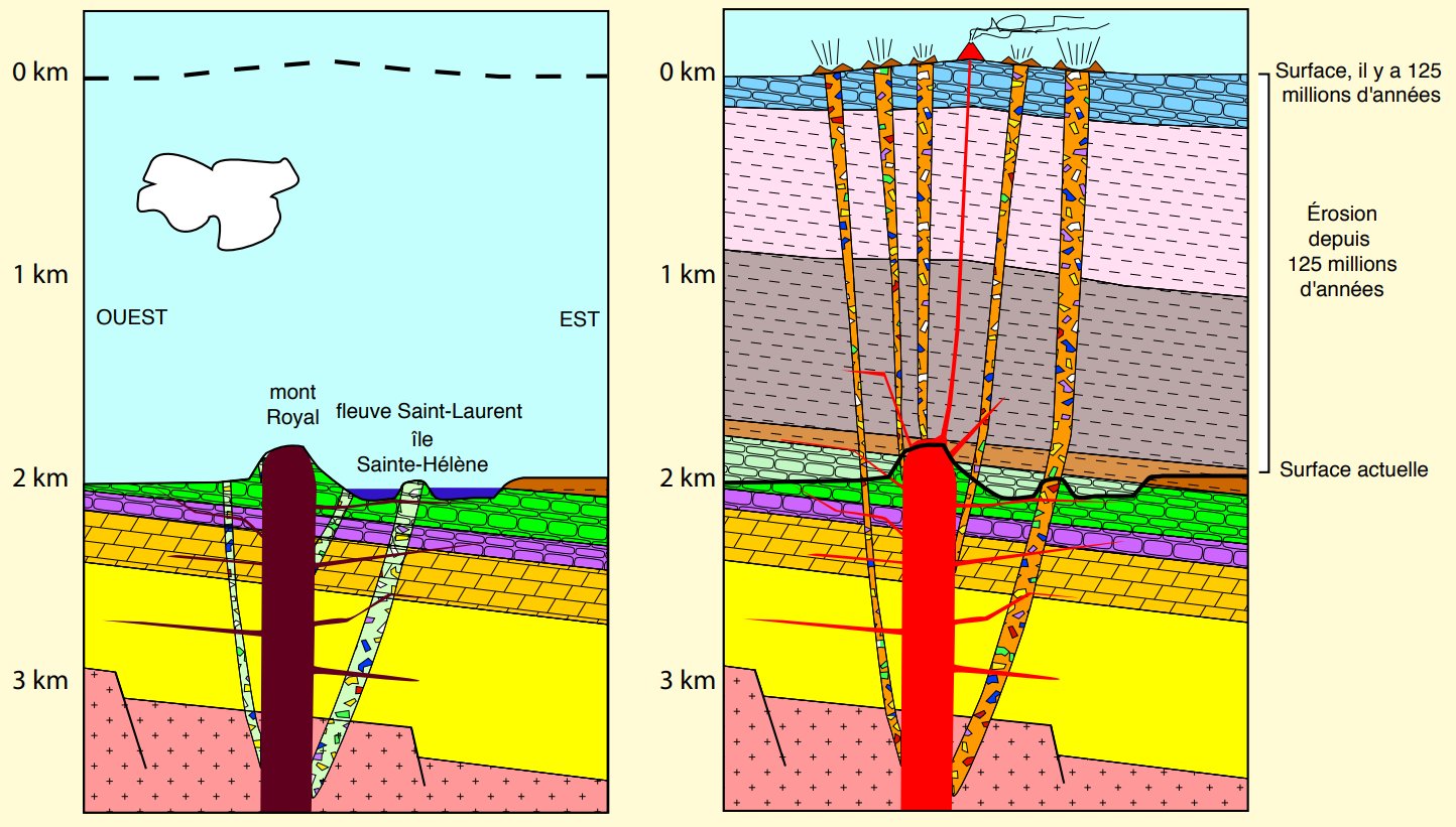
Formation of Mount Royal and the Monteregian Hills by differential erosion, left: landscape today, right: 125 million years ago - Source: Pierre Bédard
"The sedimentary rocks at the surface in our region today were formed during the Ordovician era, about 500 million years ago. At that time 70% of what would eventually become North America was deep below the ocean surface. The seafloor sediments accumulating in this period eventually formed the bedrock of our region; as more and more sediment accumulated the deeper strata were compressed and heated sufficiently to harden into rock. Seafloor sediments continued to be deposited on this part of what would become North America throughout the Silurian and the Devonian eras, until about 360 million years ago."
"Finally, the land surface rose above the sea level and the erosion of these sedimentary rock layers began. When the magma intruded into our region during the Cretaceous era, it penetrated sedimentary rocks from the Ordovician, Silurian and Devonian eras. The Silurian and Devonian sedimentary rocks are now almost entirely eroded from our region, so that Mont St. Hilaire is a Cretaceous-era intrusion standing above mostly Ordovician-era sedimentary bedrock."
"The magmatic intrusions that formed Mont St. Hilaire were probably triggered by the beginning of the formation of the Atlantic Ocean during the Jurassic era, about 160 million years ago. The tectonic forces associated with the formation of the mid-Atlantic rift appear to have created a hot spot under our part of North America. The hot spot itself is relatively stationary deep in the earth, but as North America was slowly pushed westward by magma welling up at the mid-Atlantic rift the occasional upwellings of magma formed the line of Monteregian Hills. Today the easternmost (hence youngest) of the igneous mountains formed along this line is Mont Megantic, near the Quebec border with Maine. There are, however, also traces of similar igneous plugs in the White Mountains of New Hampshire and out onto the floor of the Atlantic Ocean."
The views expressed herein can in no way be taken to reflect the official opinion of the European Space Agency or the European Union.
Contains modified Copernicus Sentinel data 2026, processed by VisioTerra.
Contains modified Copernicus Sentinel data 2026, processed by VisioTerra.
| More on European Commission space: |  |
 |
 |
||||
| More on ESA: | |
|
|
S-1 website | S-2 website | S-3 website | |
| More on Copernicus program: | |
|
|
Scihub portal | Cophub portal | Inthub portal | Colhub portal |
| More on VisioTerra: | |
|
|
Sentinel Vision Portal | Envisat+ERS portal | Swarm+GOCE portal | CryoSat portal |