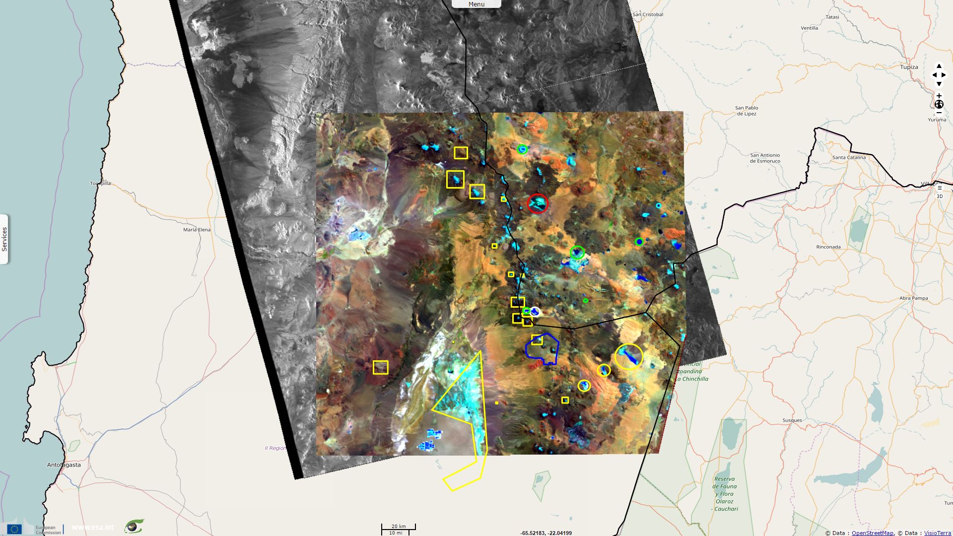
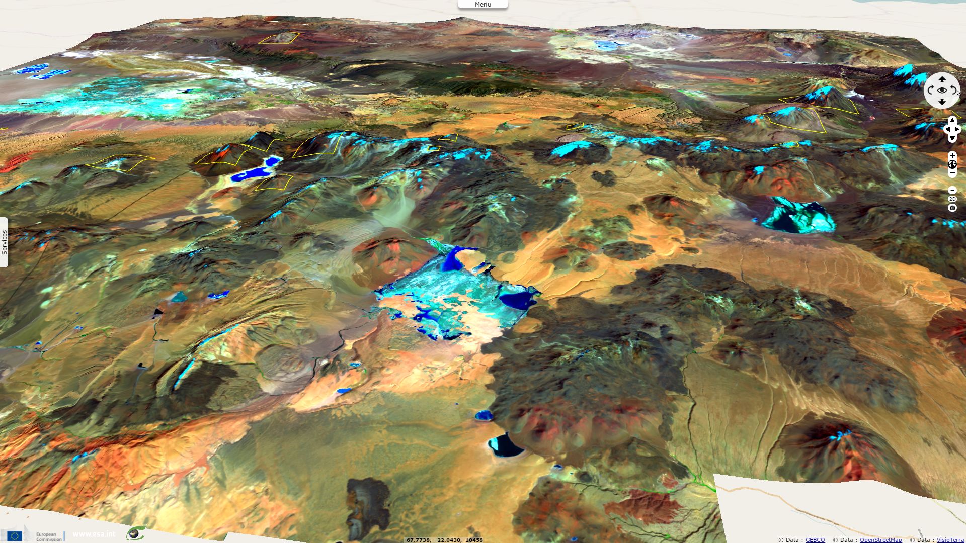
Reserves and sanctuaries in the Atacama desert plateau
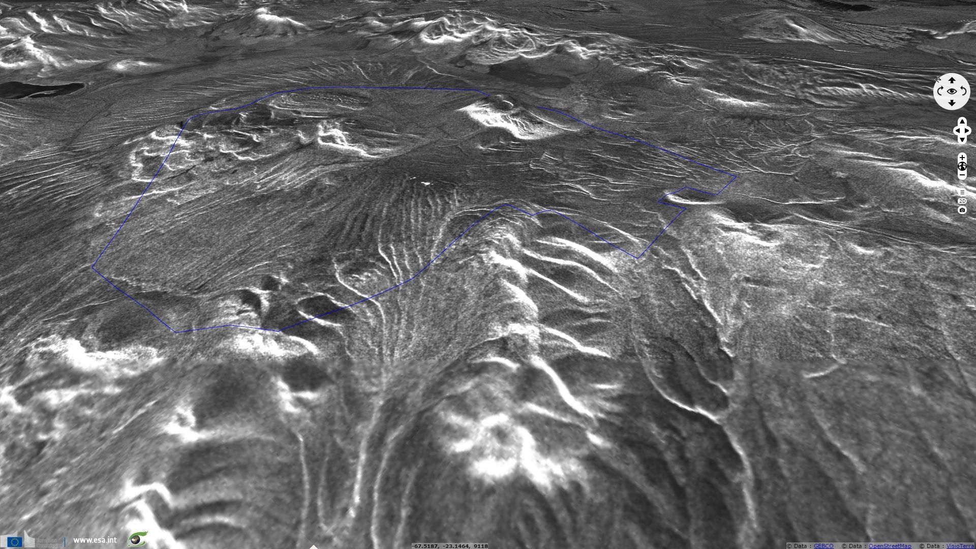
Sentinel-1 CSAR IW VV acquired on 15 March 2017 from 23:05:22 UTC to 23:05:51 UTC
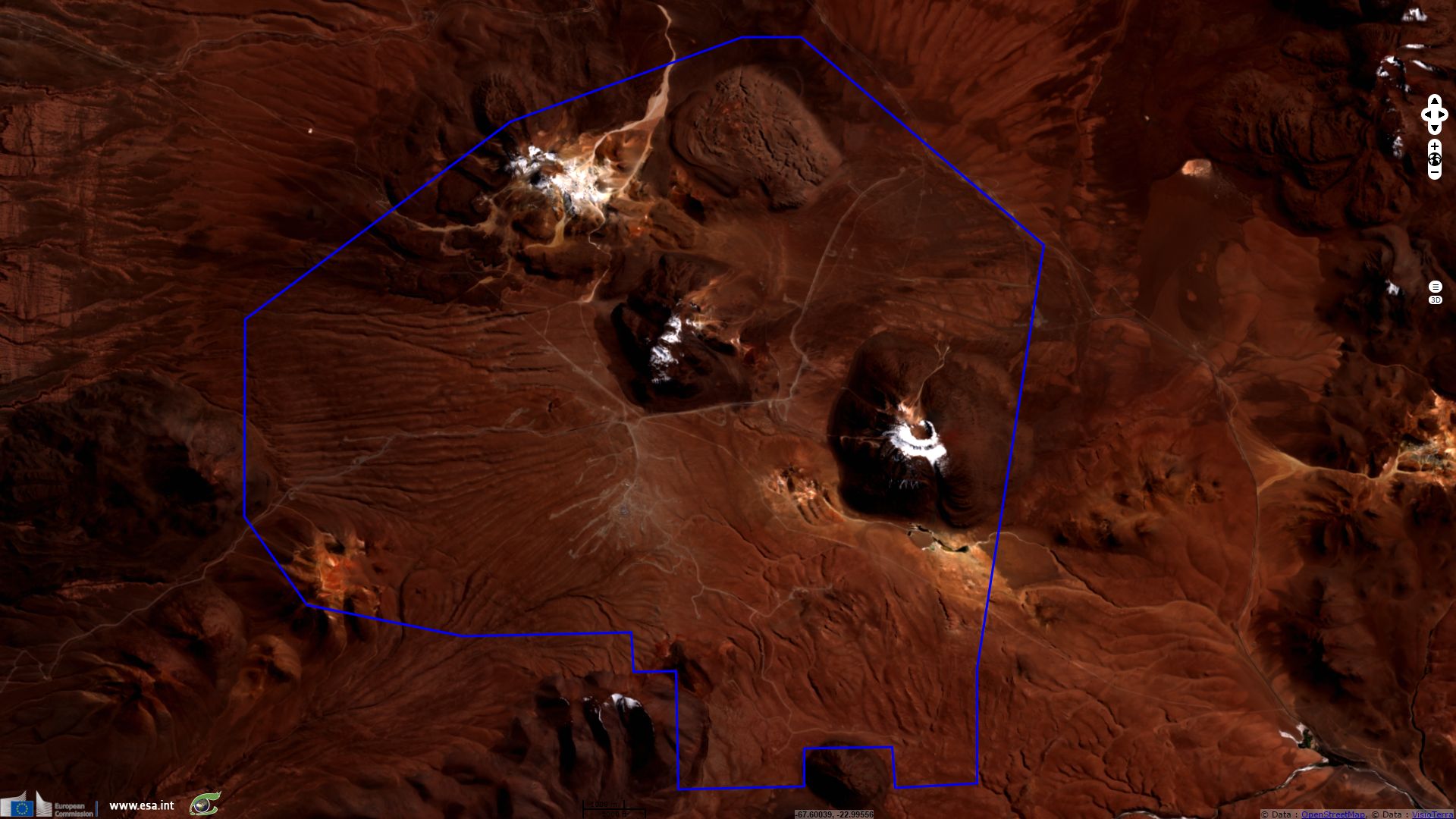
Sentinel-2 MSI (4 tiles) acquired on 09 April 2017 at 14:37:51 UTC
Sentinel-2 MSI (4 tiles) acquired on 09 April 2017 at 14:37:51 UTC
Keyword(s): Land, Ramsar, wetlands, reserves, salar, laguna, volcanoes, natural resources, Inca, archaeology, observatories, ESO, Bolivia, Chile, Argentina, Andes, Atacama, Altiplano
The Altiplano region is an arid plateau located in the rain shadow of both the Cordillera Oriental (sceening it from the Pacific moisture) and the Cordillera Oriental (which forces rainfalls in the Amazon watershed on the Eastern side).
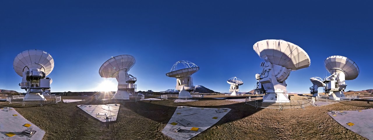
In Parque Astronómico de Atacama: An Ideal Site for Millimeter, Submillimeter, and Mid-Infrared Astronomy, R. Bustos decribes the Chajnantor plateau in the following tems: "The area of Chajnantor, at more than 5000 m altitude in northern Chile, offers unique atmospheric and operational conditions which arguably make it the best site in the world for millimeter, submillimeter, and mid-infrared observatories. Long-term monitoring of the precipitable water vapor (PWV) column on the Chajnantor plateau has shown its extreme dryness with annual median values of 1.1 mm."
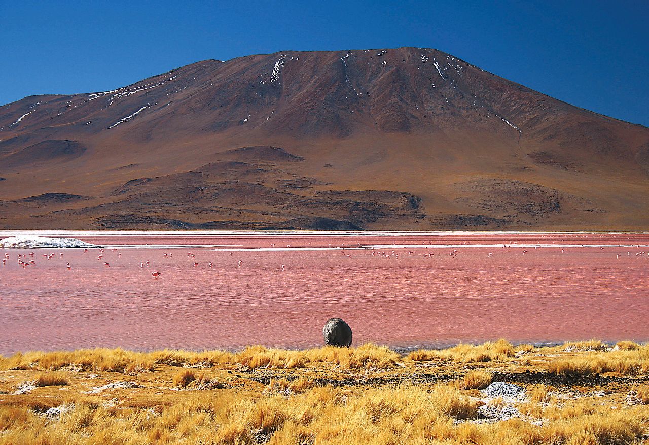
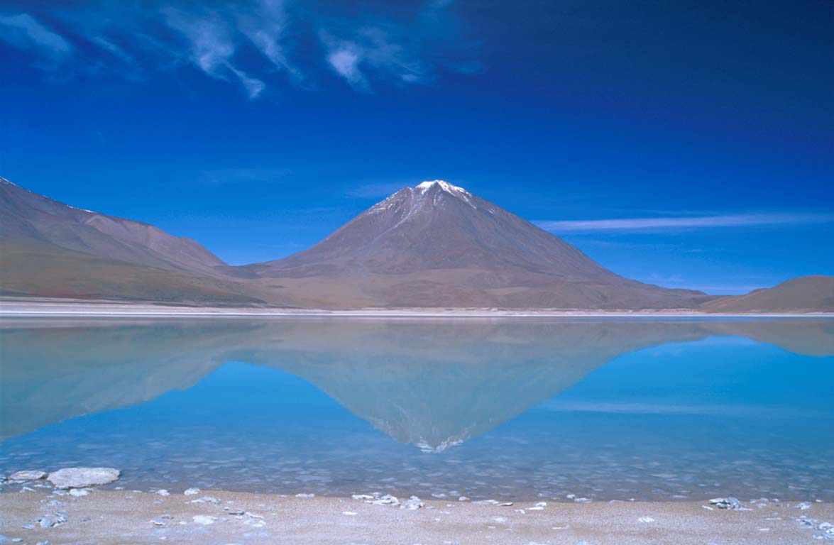
On the Bolivian side of the Altiplano (high plain), numerous endorheic lakes have formed at volcanoes foothold despite the very low precipitations. The high mineral content of these shallow salt lakes and lagunes often defines the colour after which some of them are named. While these lower depressions exceed 4000m altitude, they allowed endemic species to develop despite daily temperature amplitude exceeding 20°, which justified creation of reserves and Ramsar sites.
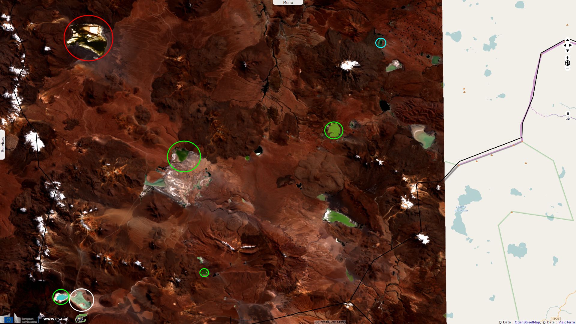
Ramsar commented the wildlife of the Los Lipez site noting "These wetlands sustain such migratory birds as Phalaropus tricolor and Calidris bairdii, who use the wetlands as staging sites for roosting and feeding. The Horned Coot (Fulica corneta) and Darwin's Rhea (Rhea pennata garleppi), a very threatened subspecies, are also present. In addition, ca. 25% and 50% of the global population of the Andean flamingo (Phoenicoparrus andinus) and James's Flamingo (Phoenicoparrus jamesi), respectively, concentrate in this area. There are also threatened non-avian species such as the endemic frog Telmatobius huayra, the Andean Mountain Cat Leopardus jacobita, and the colocolo Leopardus colocoloi."
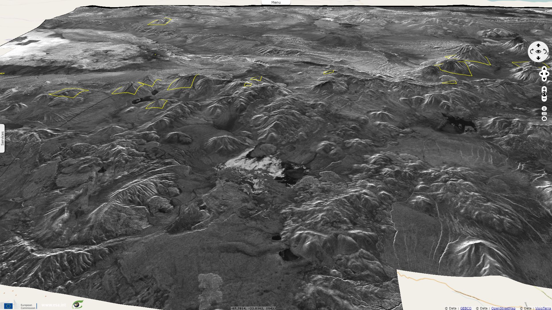
Despite extreme conditions, these mineral resources drove humans to live in these remote areas and contributed to the wealth of the Inca empire. These dramatic landscape also fueled spirituality of the Inca people who built sanctuaries on top of numerous volcanoes of the Cordillera Occidental, some of which exceed 6000m altitude. In « Inka Human Sacrifice and Mountain Worship: Strategies for Empire Unification », p. 11‑12, UNM Press. ISBN 978-0-8263-5308-5., 15 April 2013, Thomas Besom lists sixteen of such sanctuaries shown here.
The views expressed herein can in no way be taken to reflect the official opinion of the European Space Agency or the European Union.
Contains modified Copernicus Sentinel data 2026, processed by VisioTerra.
Contains modified Copernicus Sentinel data 2026, processed by VisioTerra.
| More on European Commission space: |  |
 |
 |
||||
| More on ESA: | |
|
|
S-1 website | S-2 website | S-3 website | |
| More on Copernicus program: | |
|
|
Scihub portal | Cophub portal | Inthub portal | Colhub portal |
| More on VisioTerra: | |
|
|
Sentinel Vision Portal | Envisat+ERS portal | Swarm+GOCE portal | CryoSat portal |