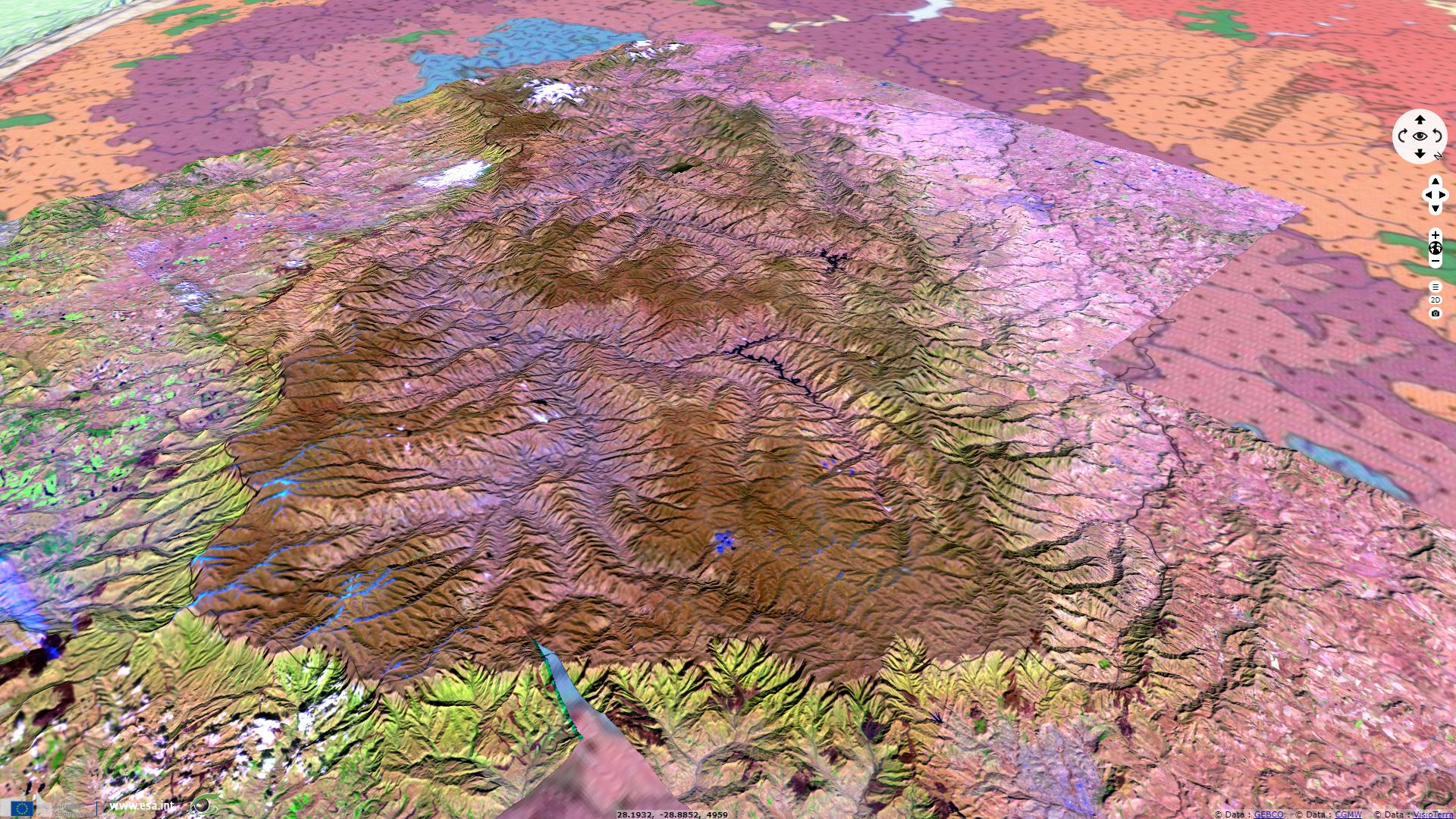
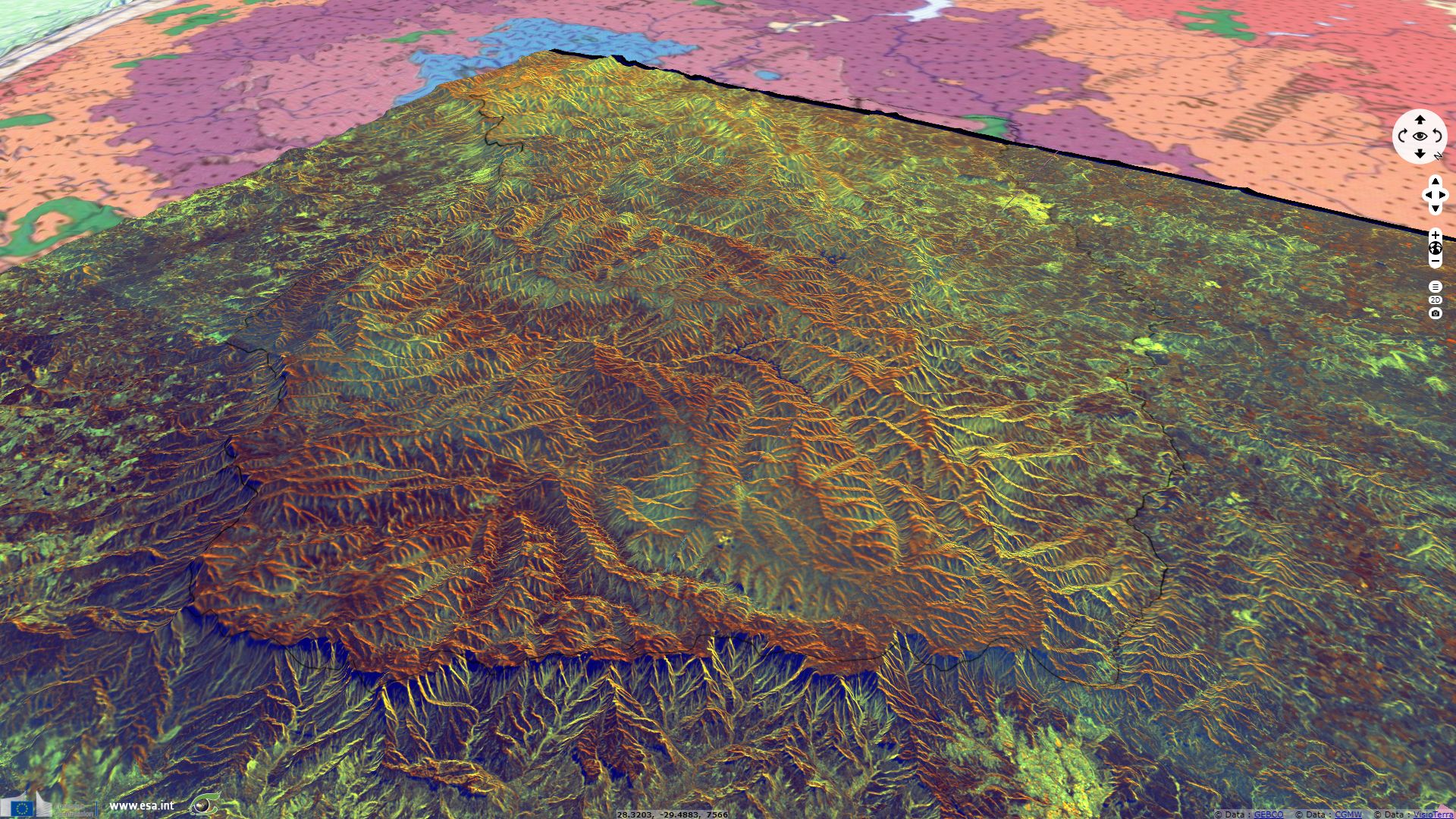
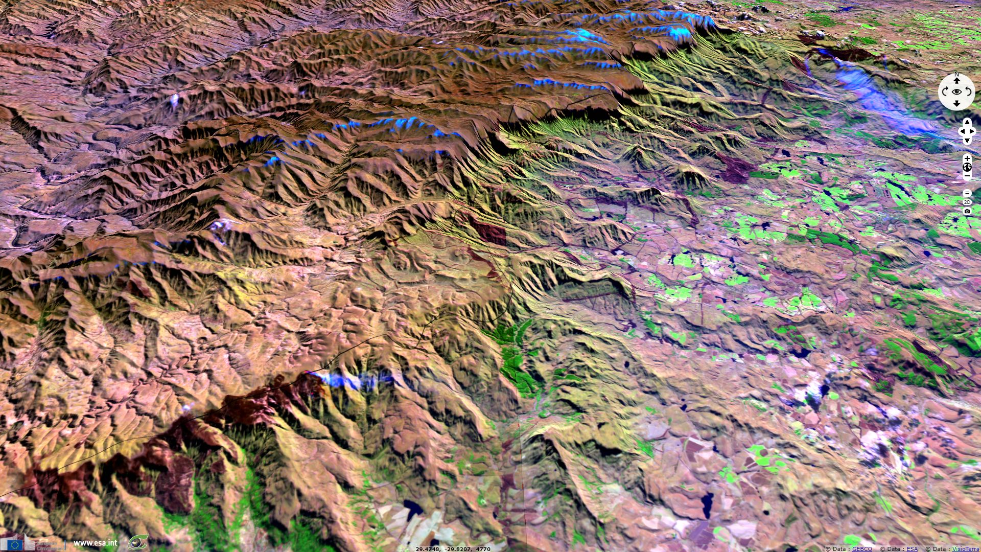
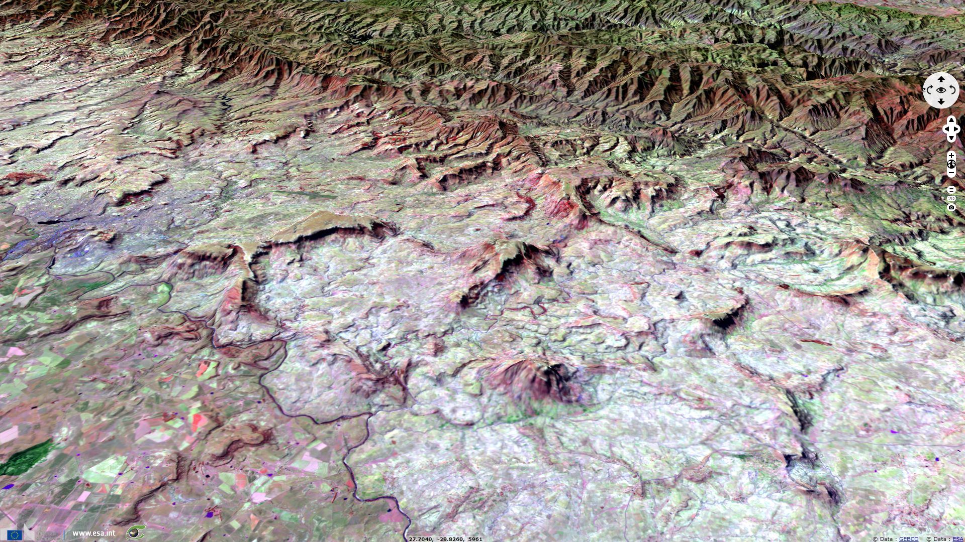
Drakensberg in landlocked Lesotho
Sentinel-2 MSI acquired on 18 June 2017 at 07:36:11 UTC
Sentinel-2 MSI acquired on 01 July 2017 at 07:46:11 UTC
Sentinel-1 CSAR IW acquired on 05 July 2017 at 16:45:38 and 16:46:03 UTC
Sentinel-2 MSI acquired on 11 July 2017 at 07:49:41 UTC
Sentinel-2 MSI acquired on 01 July 2017 at 07:46:11 UTC
Sentinel-1 CSAR IW acquired on 05 July 2017 at 16:45:38 and 16:46:03 UTC
Sentinel-2 MSI acquired on 11 July 2017 at 07:49:41 UTC
Keyword(s): land, mountain, plateau, land use, land cover, Drakensberg, Lesotho, RSA, Republic of South Africa
The views expressed herein can in no way be taken to reflect the official opinion of the European Space Agency or the European Union.
Contains modified Copernicus Sentinel data 2026, processed by VisioTerra.
Contains modified Copernicus Sentinel data 2026, processed by VisioTerra.
| More on European Commission space: |  |
 |
 |
||||
| More on ESA: | |
|
|
S-1 website | S-2 website | S-3 website | |
| More on Copernicus program: | |
|
|
Scihub portal | Cophub portal | Inthub portal | Colhub portal |
| More on VisioTerra: | |
|
|
Sentinel Vision Portal | Envisat+ERS portal | Swarm+GOCE portal | CryoSat portal |