Kericho, home to the large tea plantations of the Kenyan highlands
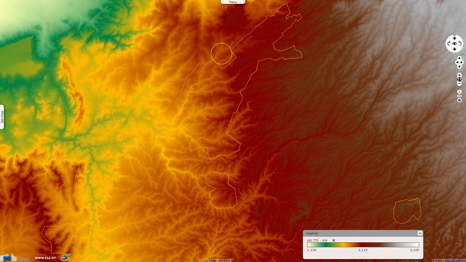
Sentinel-1 CSAR IW acquired on 11 April 2022 at 15:56:43 UTC
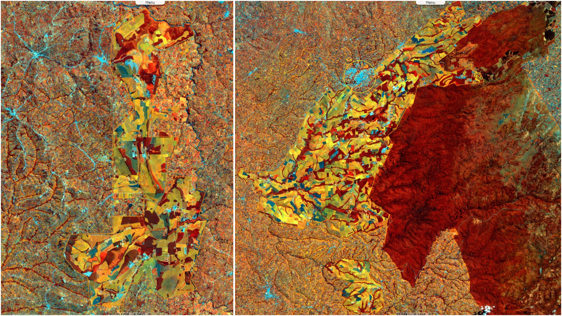
Sentinel-2 MSI acquired on 16 May 2022 at 07:46:21 UTC
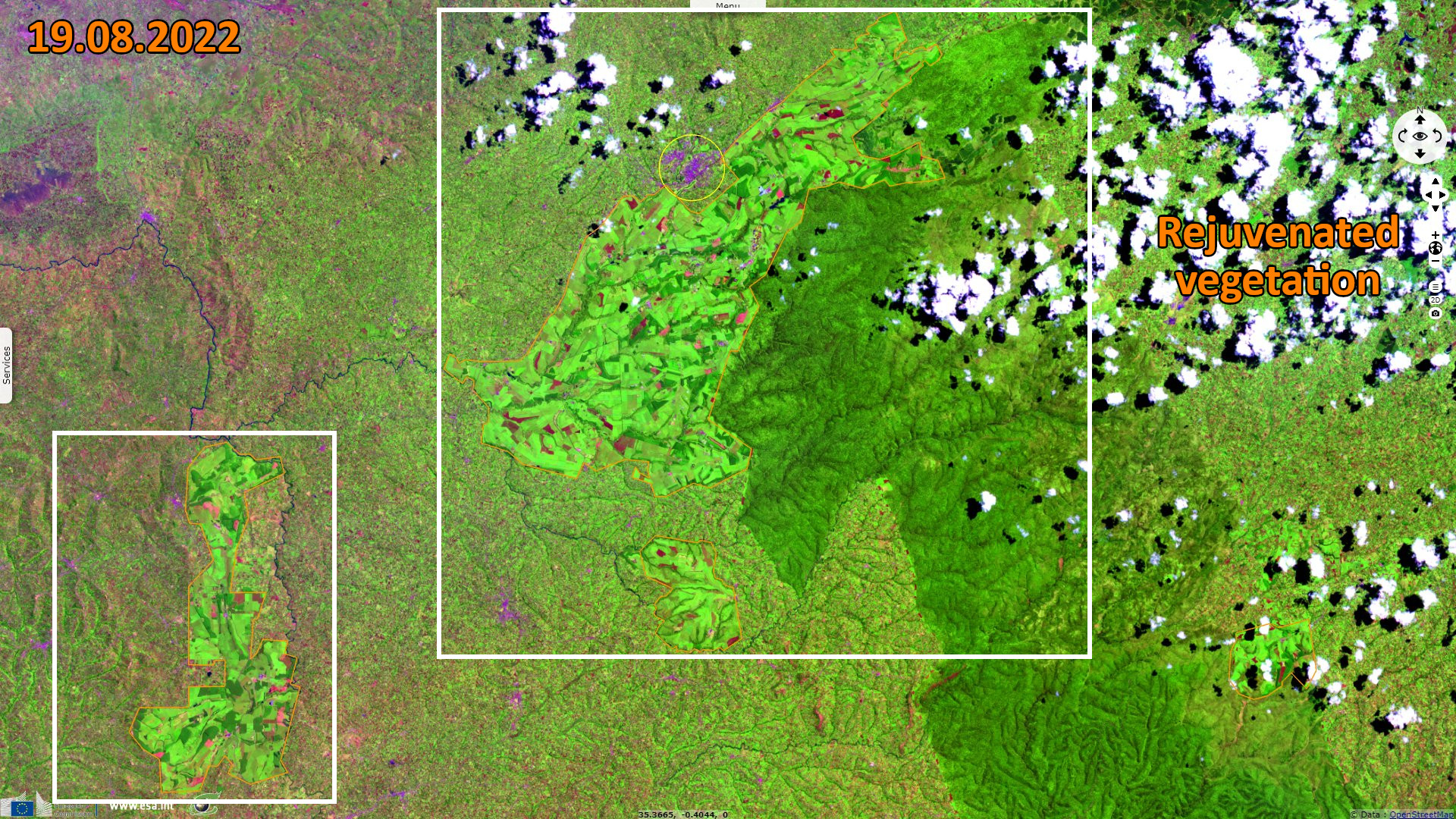
Sentinel-2 MSI acquired on 19 August 2022 at 07:46:19 UTC
Sentinel-2 MSI acquired on 16 May 2022 at 07:46:21 UTC
Sentinel-2 MSI acquired on 19 August 2022 at 07:46:19 UTC
Keyword(s): Land, plateau, highlands, rain-fed agriculture, Kenya, African Rift Valley
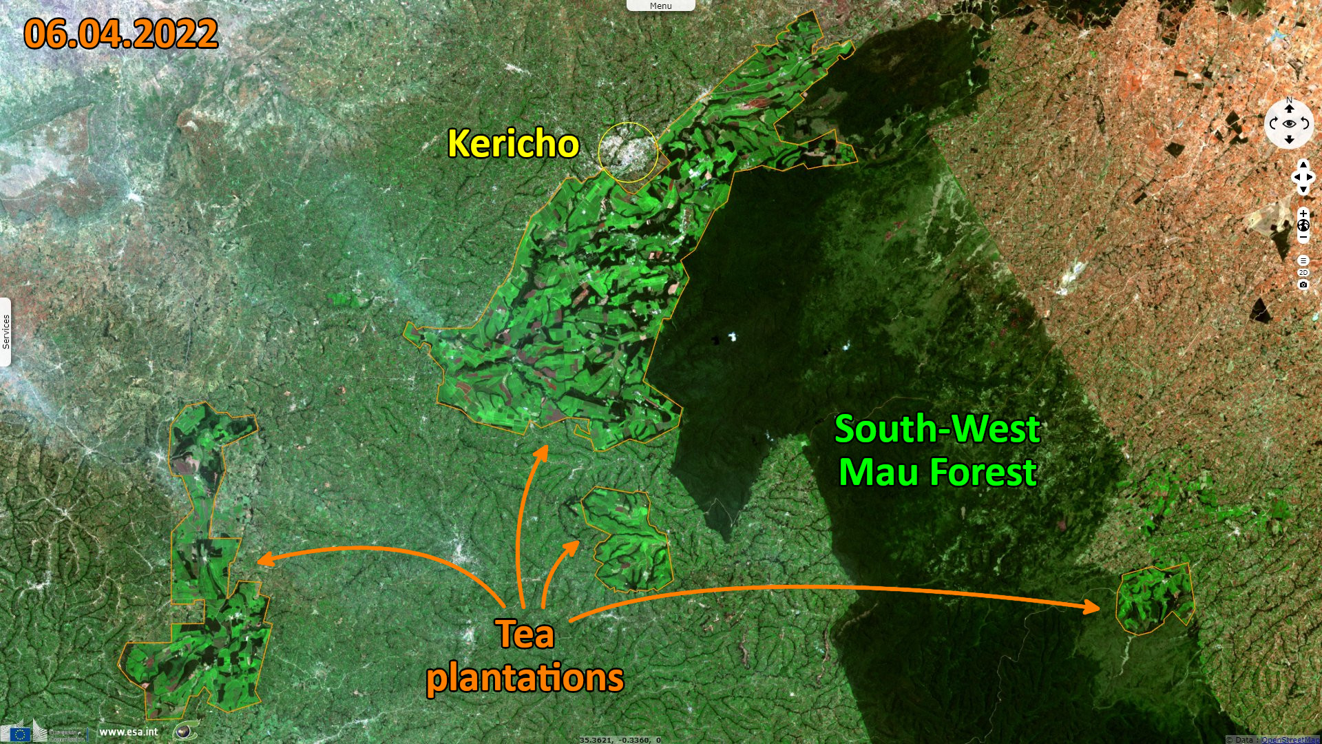
The county has rainy seasons April to June and October to December. The rainfalls are being highest in central part of county where they plant tea. A good number of rivers emanate from the county.
The views expressed herein can in no way be taken to reflect the official opinion of the European Space Agency or the European Union.
Contains modified Copernicus Sentinel data 2026, processed by VisioTerra.
Contains modified Copernicus Sentinel data 2026, processed by VisioTerra.
| More on European Commission space: |  |
 |
 |
||||
| More on ESA: | |
|
|
S-1 website | S-2 website | S-3 website | |
| More on Copernicus program: | |
|
|
Scihub portal | Cophub portal | Inthub portal | Colhub portal |
| More on VisioTerra: | |
|
|
Sentinel Vision Portal | Envisat+ERS portal | Swarm+GOCE portal | CryoSat portal |