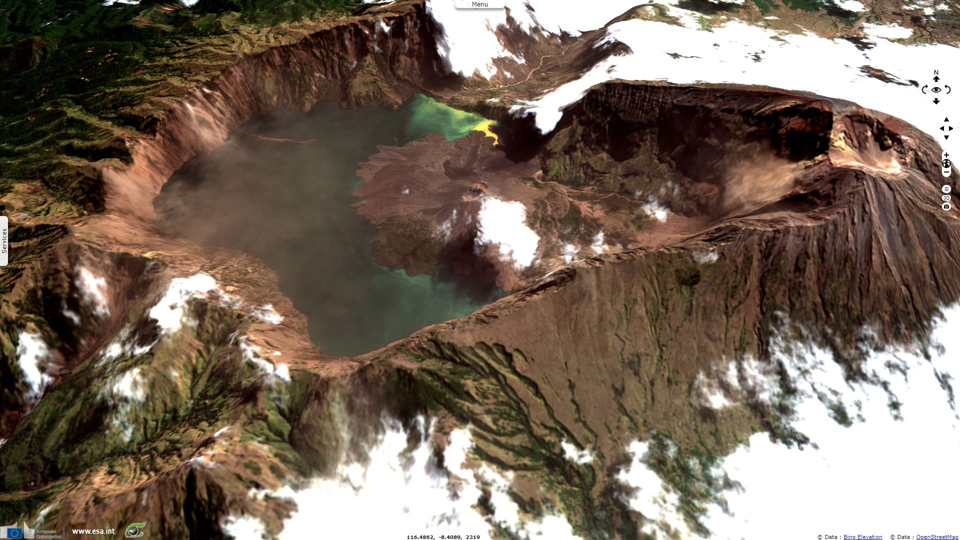
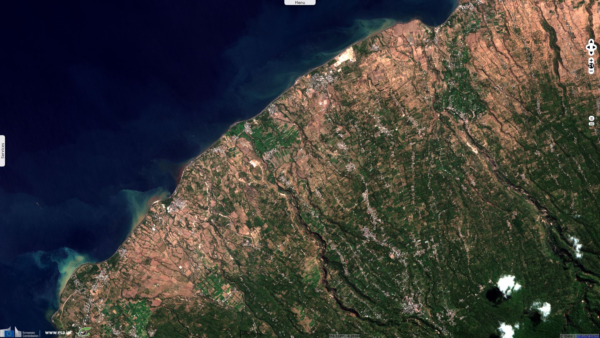
Earthquakes hit Lombok Island, Indonesia
Sentinel-2 MSI acquired on 27 July 2018 at 02:16:01 UTC
Sentinel-2 MSI acquired on 01 August 2018 at 02:16:49 UTC
Sentinel-2 MSI acquired on 06 August 2018 at 02:16:01 UTC
Sentinel-1 CSAR IW acquired on 08 August 2018 at 10:41:18 UTC
Sentinel-2 MSI acquired on 01 August 2018 at 02:16:49 UTC
Sentinel-2 MSI acquired on 06 August 2018 at 02:16:01 UTC
Sentinel-1 CSAR IW acquired on 08 August 2018 at 10:41:18 UTC
Keyword(s): Emergency, natural disaster, volcano, island, geology, subduction, Pacific ring of fire, Sunda arc, Indonesia
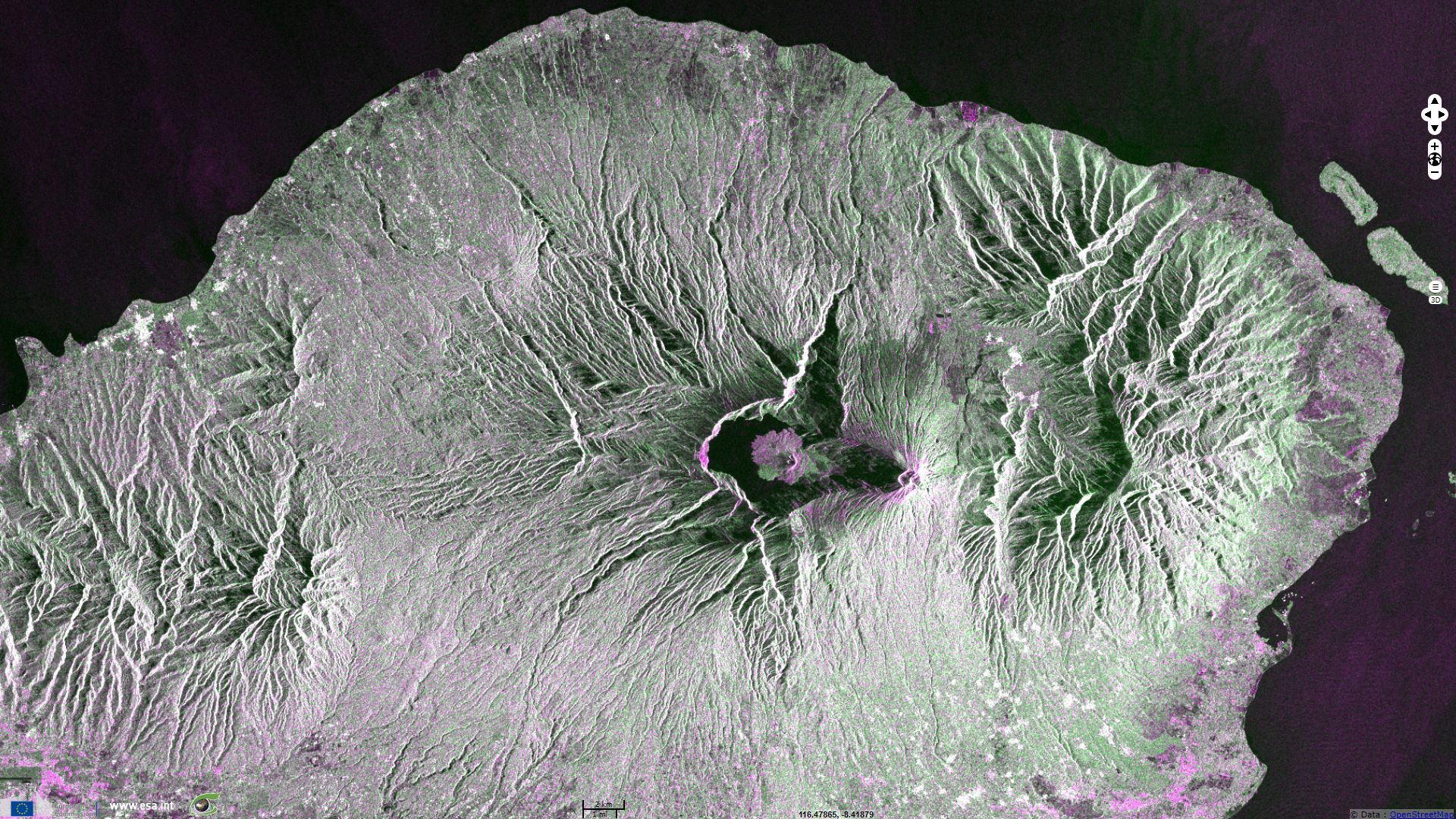
Earthquakes shook Lombok Island, the 29.07.2018, 05.08.2018 & 09.08.2018, respectively of magnitude 6.4, 6.9 & 6.2, killing 319 as of 9 August.

The views expressed herein can in no way be taken to reflect the official opinion of the European Space Agency or the European Union.
Contains modified Copernicus Sentinel data 2026, processed by VisioTerra.
Contains modified Copernicus Sentinel data 2026, processed by VisioTerra.
| More on European Commission space: |  |
 |
 |
||||
| More on ESA: | |
|
|
S-1 website | S-2 website | S-3 website | |
| More on Copernicus program: | |
|
|
Scihub portal | Cophub portal | Inthub portal | Colhub portal |
| More on VisioTerra: | |
|
|
Sentinel Vision Portal | Envisat+ERS portal | Swarm+GOCE portal | CryoSat portal |