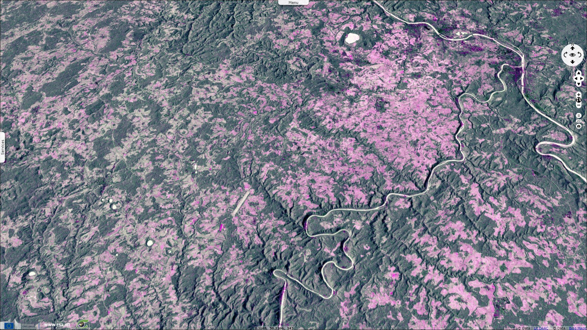
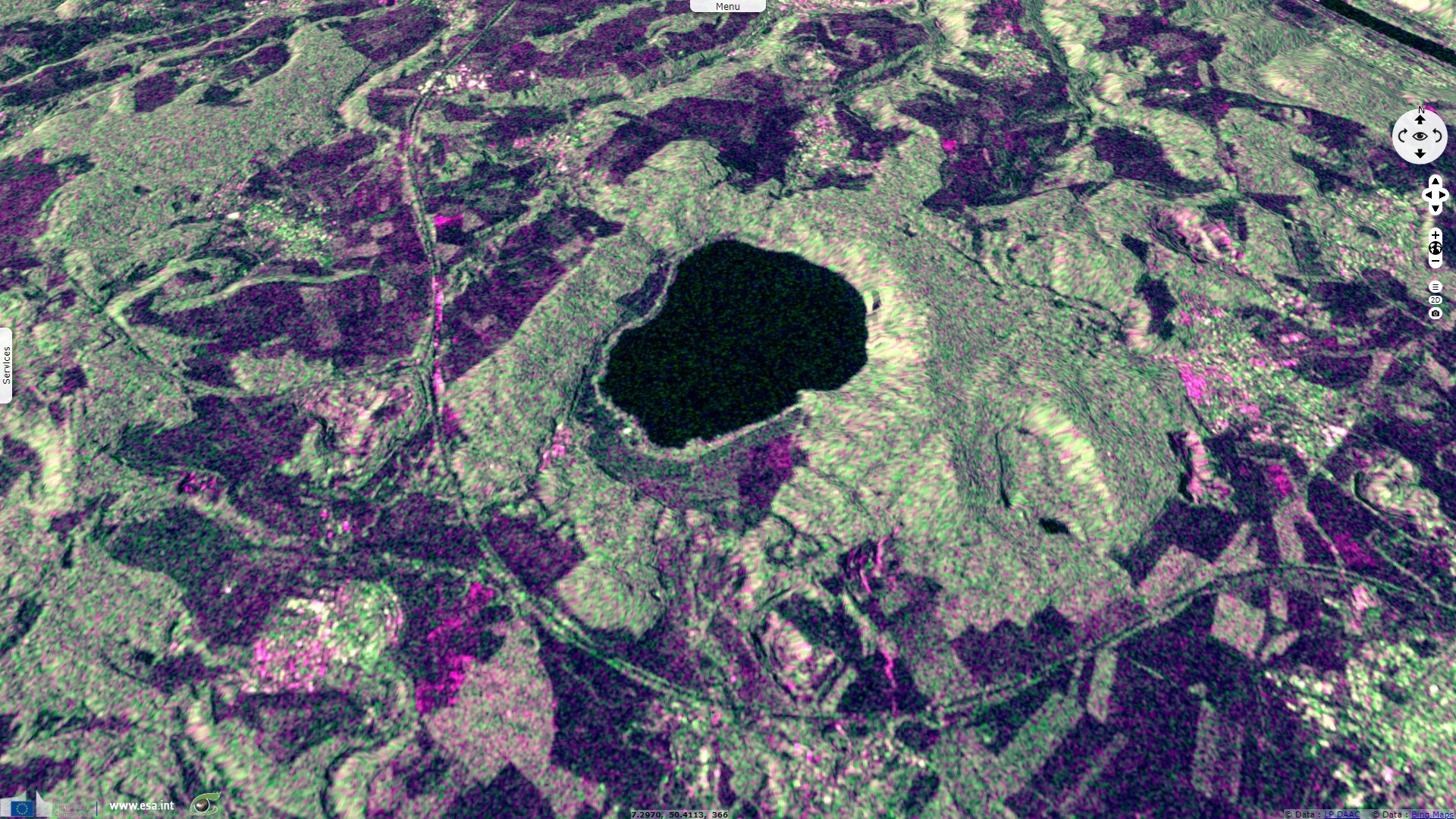
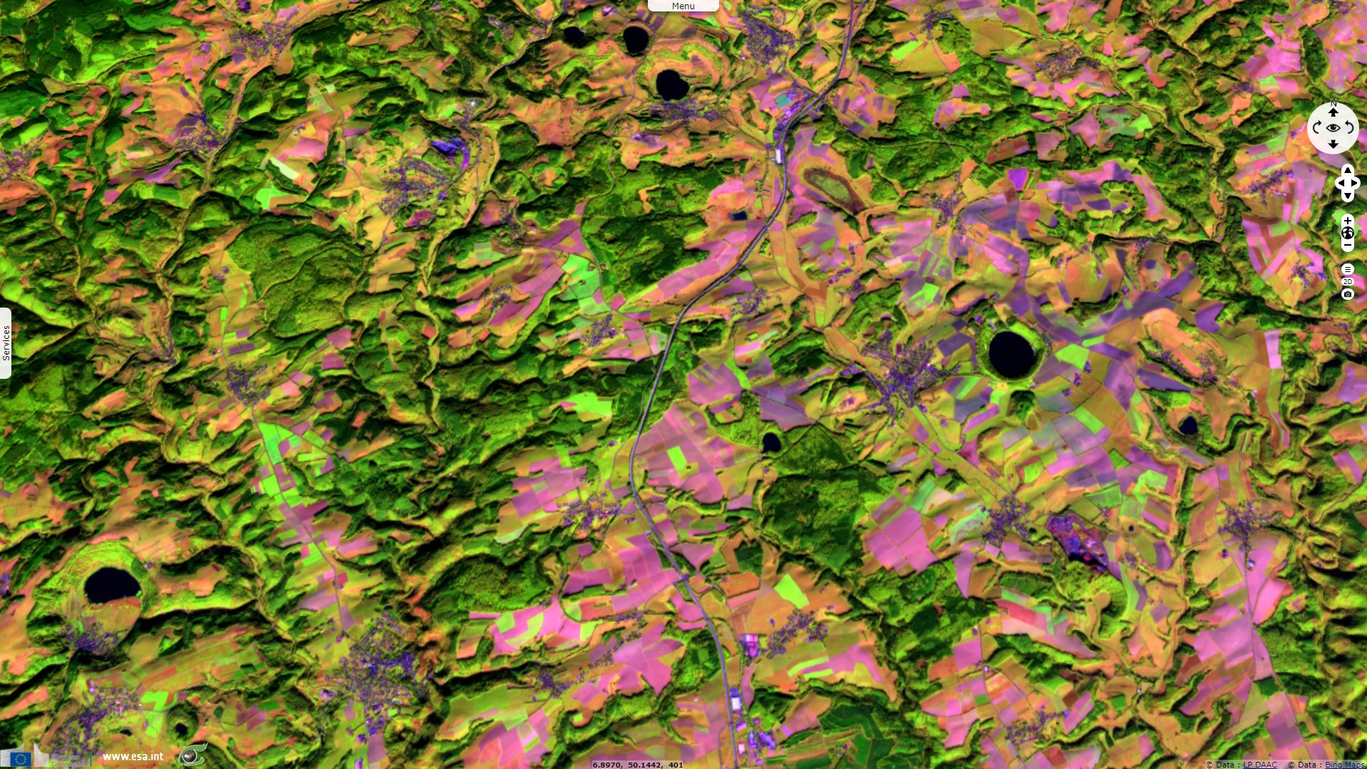
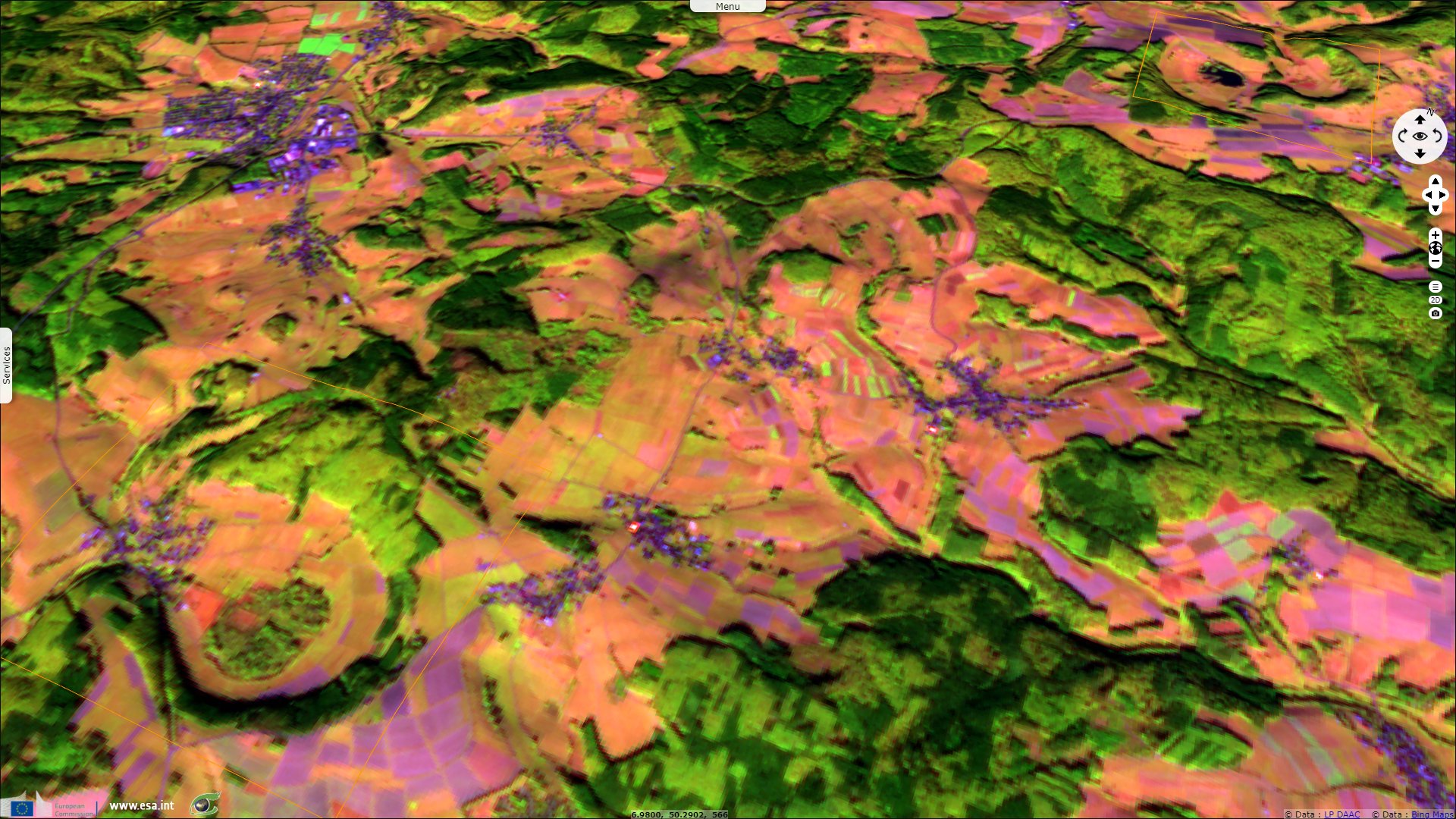
Maars and calderas of the volcanic Eifel, Germany
Sentinel-1 CSAR IW acquired on 29 January 2018 at 17:23:40 UTC
Sentinel-1 CSAR IW acquired on 12 October 2018 at 05:41:37 UTC
Sentinel-2 MSI acquired on 15 October 2018 at 10:40:21 UTC
Sentinel-1 CSAR IW acquired on 15 October 2018 at 17:15:38 UTC
Sentinel-1 CSAR IW acquired on 12 October 2018 at 05:41:37 UTC
Sentinel-2 MSI acquired on 15 October 2018 at 10:40:21 UTC
Sentinel-1 CSAR IW acquired on 15 October 2018 at 17:15:38 UTC
Keyword(s): Geology, volcano, crater lakes, caldera, UNESCO Global Geopark, Rhine rift, Germany
The Laacher See eruption produced a 30 m deep layer of tephra, it killed all life within a 40-60 km radius.
The views expressed herein can in no way be taken to reflect the official opinion of the European Space Agency or the European Union.
Contains modified Copernicus Sentinel data 2026, processed by VisioTerra.
Contains modified Copernicus Sentinel data 2026, processed by VisioTerra.
| More on European Commission space: |  |
 |
 |
||||
| More on ESA: | |
|
|
S-1 website | S-2 website | S-3 website | |
| More on Copernicus program: | |
|
|
Scihub portal | Cophub portal | Inthub portal | Colhub portal |
| More on VisioTerra: | |
|
|
Sentinel Vision Portal | Envisat+ERS portal | Swarm+GOCE portal | CryoSat portal |