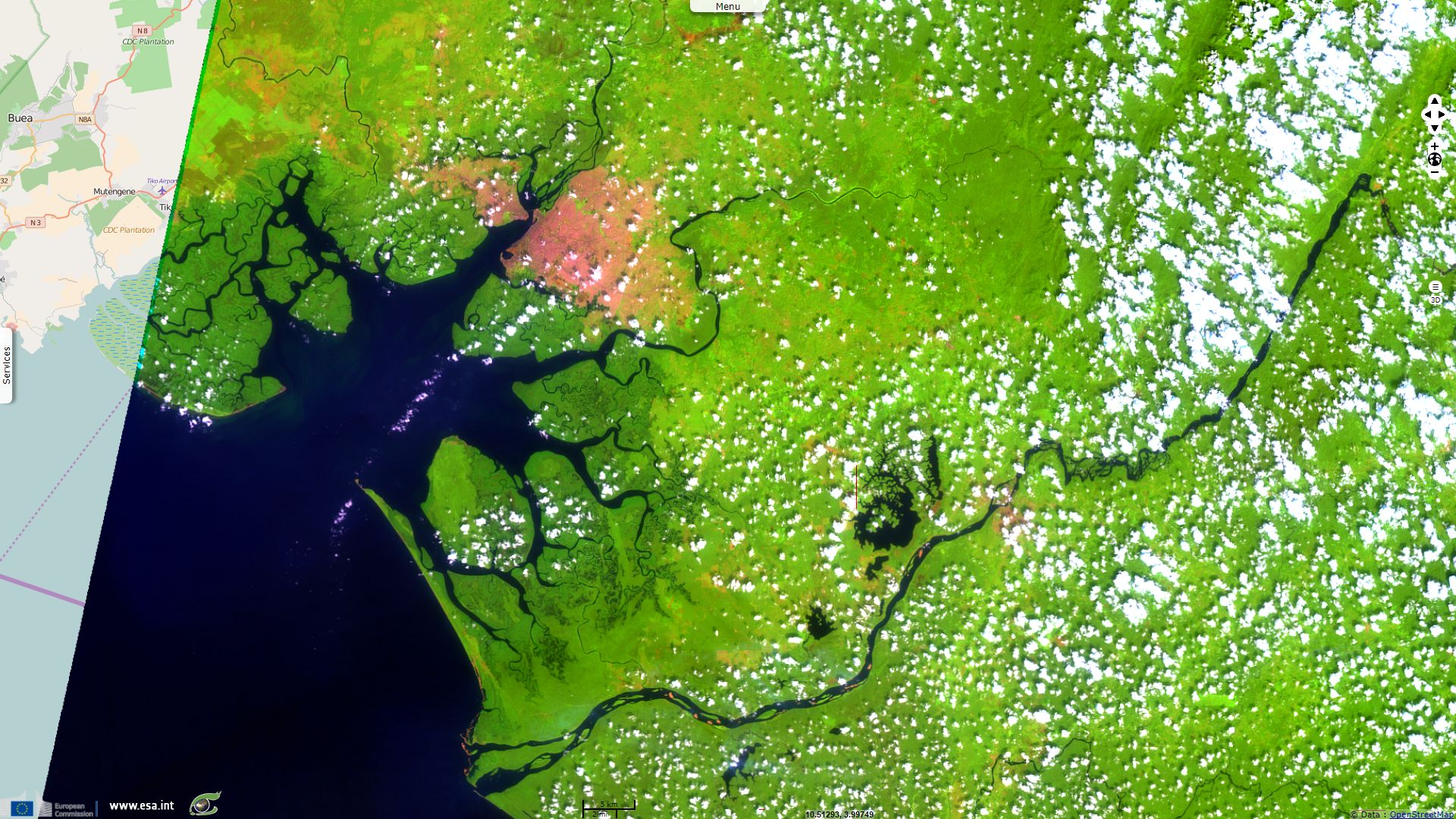
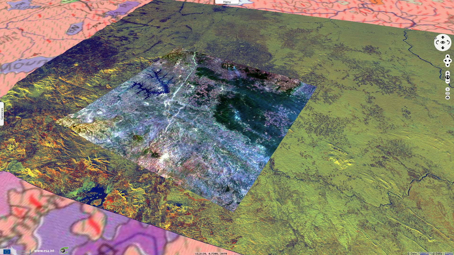
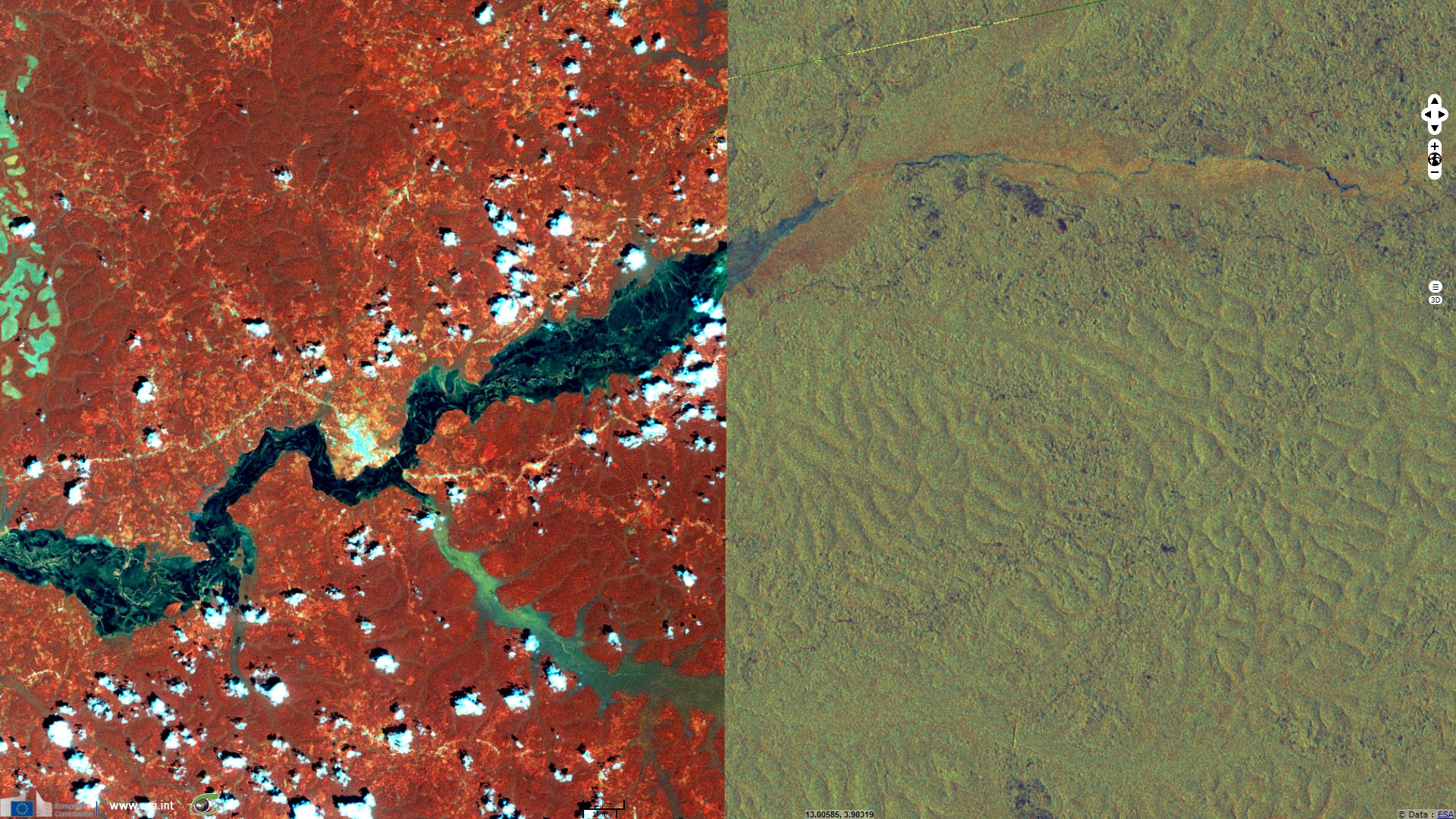
Sentinel-1 and -2 display Cameroon landscape diversity
Sentinel-2 MSI acquired on 29 December 2015 at 09:52:28 UTC
...
Sentinel-1 CSAR IW acquired on 27 March 2017 from 17:27:35 to 17:28:29 UTC
Sentinel-1 CSAR IW acquired on 17 October 2017 at 05:05:40 UTC
...
Sentinel-1 CSAR IW acquired on 27 March 2017 from 17:27:35 to 17:28:29 UTC
Sentinel-1 CSAR IW acquired on 17 October 2017 at 05:05:40 UTC
Keyword(s): Land, coastal, hydrology, forestry, river network, lake, volcano, mangrove, Cameroon
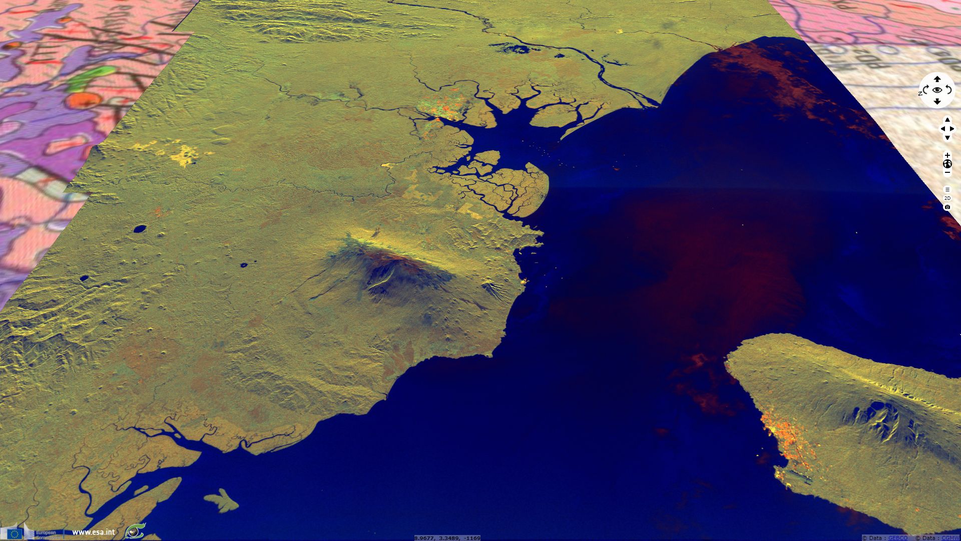
Being far above the tree line, mount Cameroon bald as shown by its brown top versus its yellow forested basis on this radar composite.
The views expressed herein can in no way be taken to reflect the official opinion of the European Space Agency or the European Union.
Contains modified Copernicus Sentinel data 2026, processed by VisioTerra.
Contains modified Copernicus Sentinel data 2026, processed by VisioTerra.
| More on European Commission space: |  |
 |
 |
||||
| More on ESA: | |
|
|
S-1 website | S-2 website | S-3 website | |
| More on Copernicus program: | |
|
|
Scihub portal | Cophub portal | Inthub portal | Colhub portal |
| More on VisioTerra: | |
|
|
Sentinel Vision Portal | Envisat+ERS portal | Swarm+GOCE portal | CryoSat portal |