Thingvallavatn, a parliament in the mid-Atlantic ridge
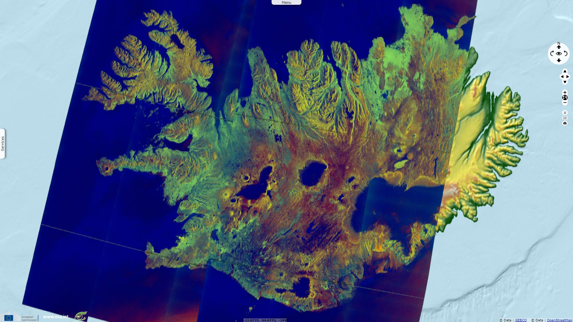
Sentinel-2 MSI acquired on 30 May 2019 at 13:03:09 UTC
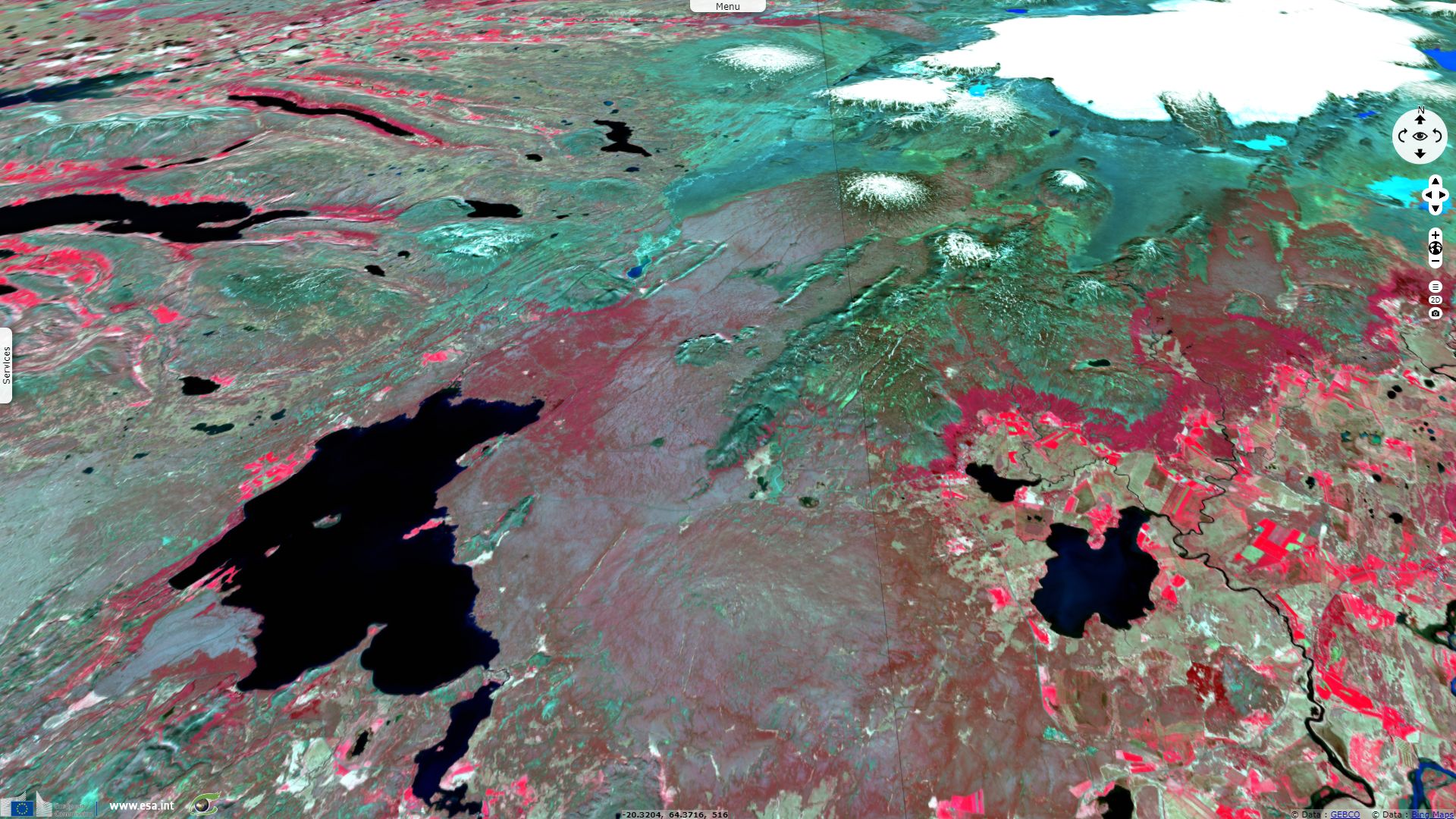
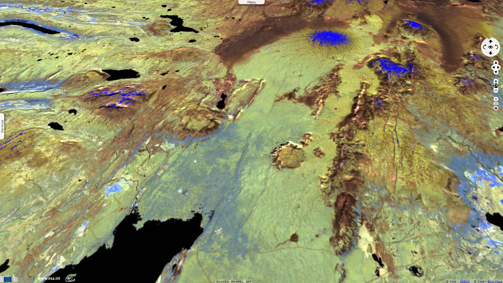
Sentinel-1 CSAR IW acquired on 10 July 2019 from 07:57:45 to 07:58:39 UTC
Sentinel-1 CSAR IW acquired on 12 July 2019 from 07:41:22 to 07:42:16 UTC
Sentinel-1 CSAR IW acquired on 10 July 2019 from 07:57:45 to 07:58:39 UTC
Sentinel-1 CSAR IW acquired on 12 July 2019 from 07:41:22 to 07:42:16 UTC
Keyword(s): Geohazard, geology, rift valley, volcanism, lake, national park, UNESCO World Heritage site, Iceland
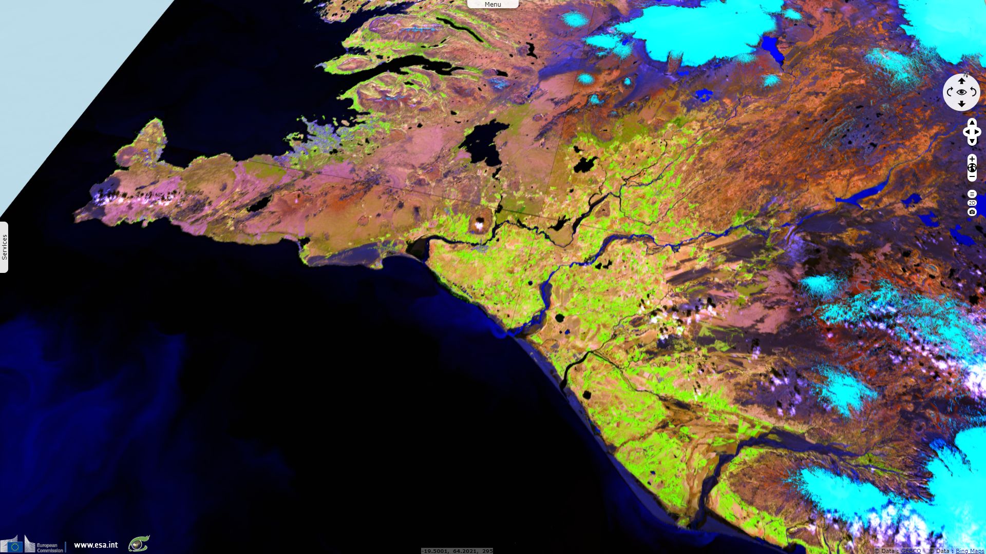
A small rifting zone is visible at S-W where NE-SW oriented Silfrugjá (Silfra), Flosagjá & Almannagjá faults meet to form Þingvallavatn rift lake.
The views expressed herein can in no way be taken to reflect the official opinion of the European Space Agency or the European Union.
Contains modified Copernicus Sentinel data 2026, processed by VisioTerra.
Contains modified Copernicus Sentinel data 2026, processed by VisioTerra.
| More on European Commission space: |  |
 |
 |
||||
| More on ESA: | |
|
|
S-1 website | S-2 website | S-3 website | |
| More on Copernicus program: | |
|
|
Scihub portal | Cophub portal | Inthub portal | Colhub portal |
| More on VisioTerra: | |
|
|
Sentinel Vision Portal | Envisat+ERS portal | Swarm+GOCE portal | CryoSat portal |