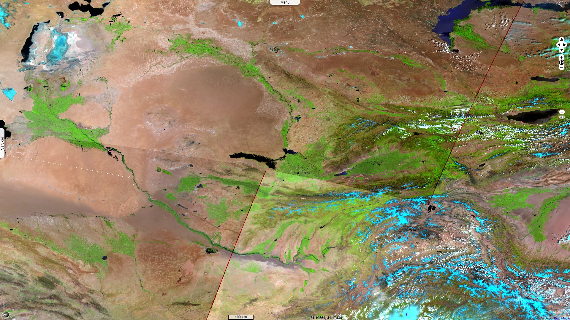
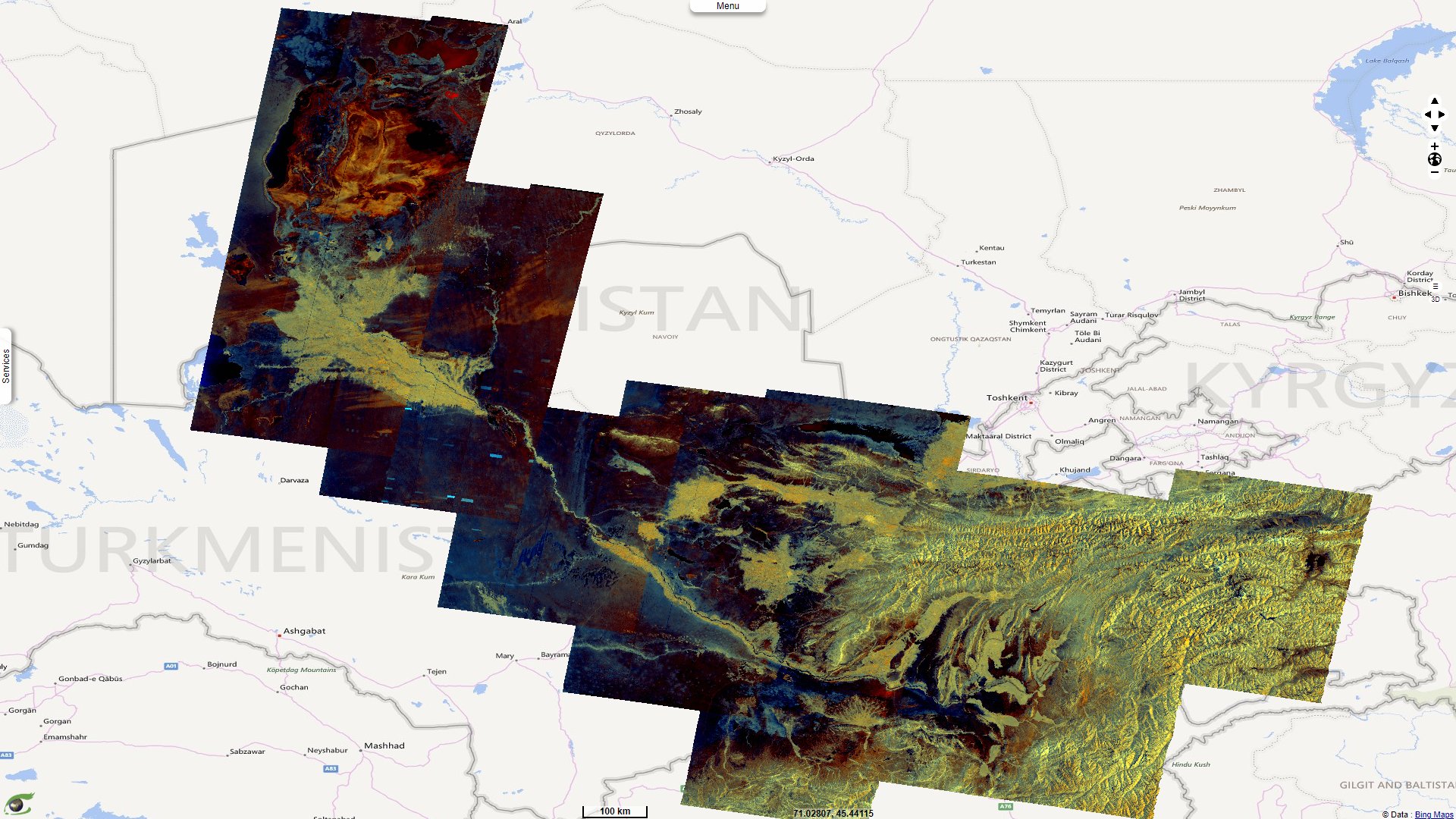
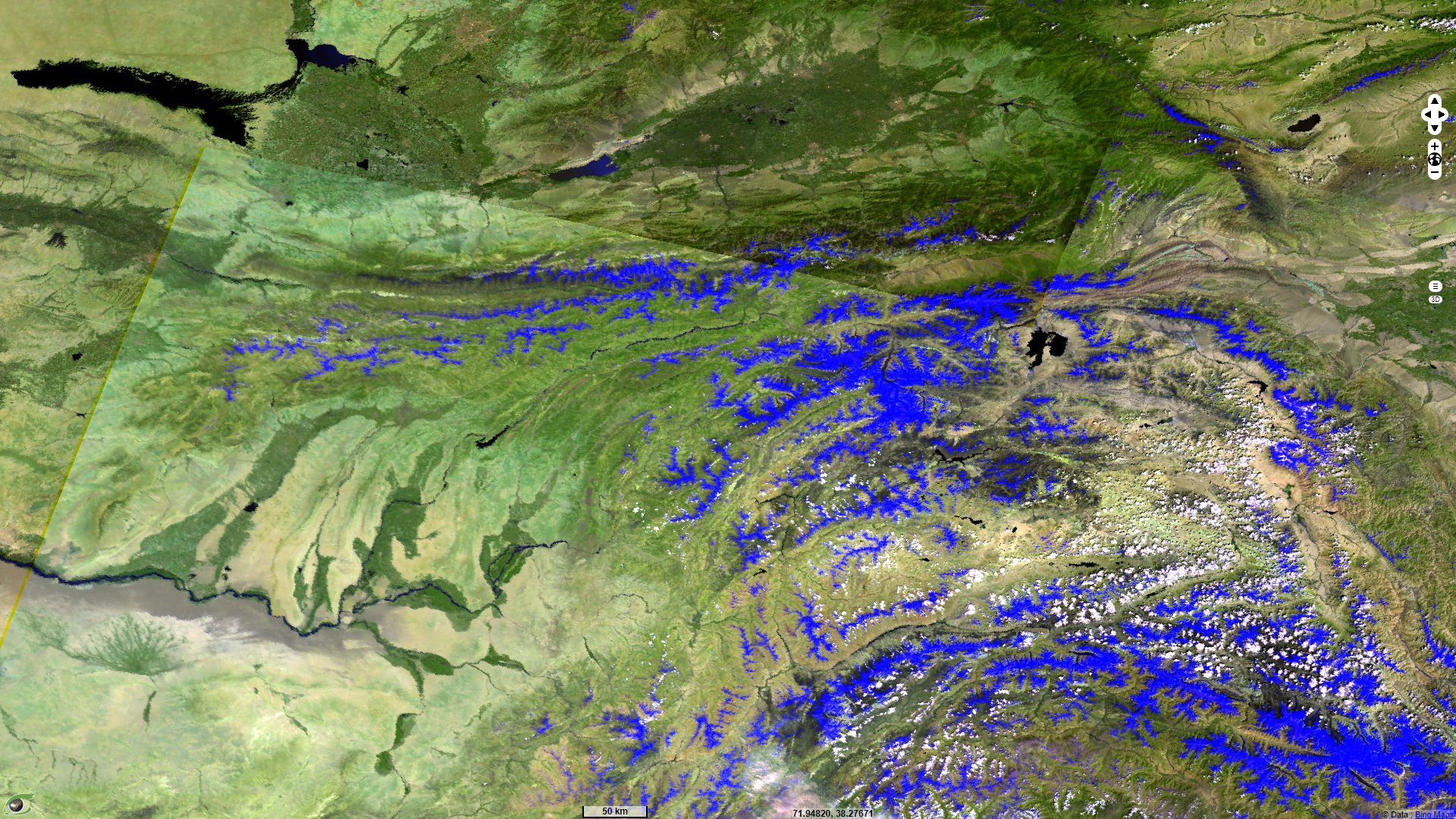
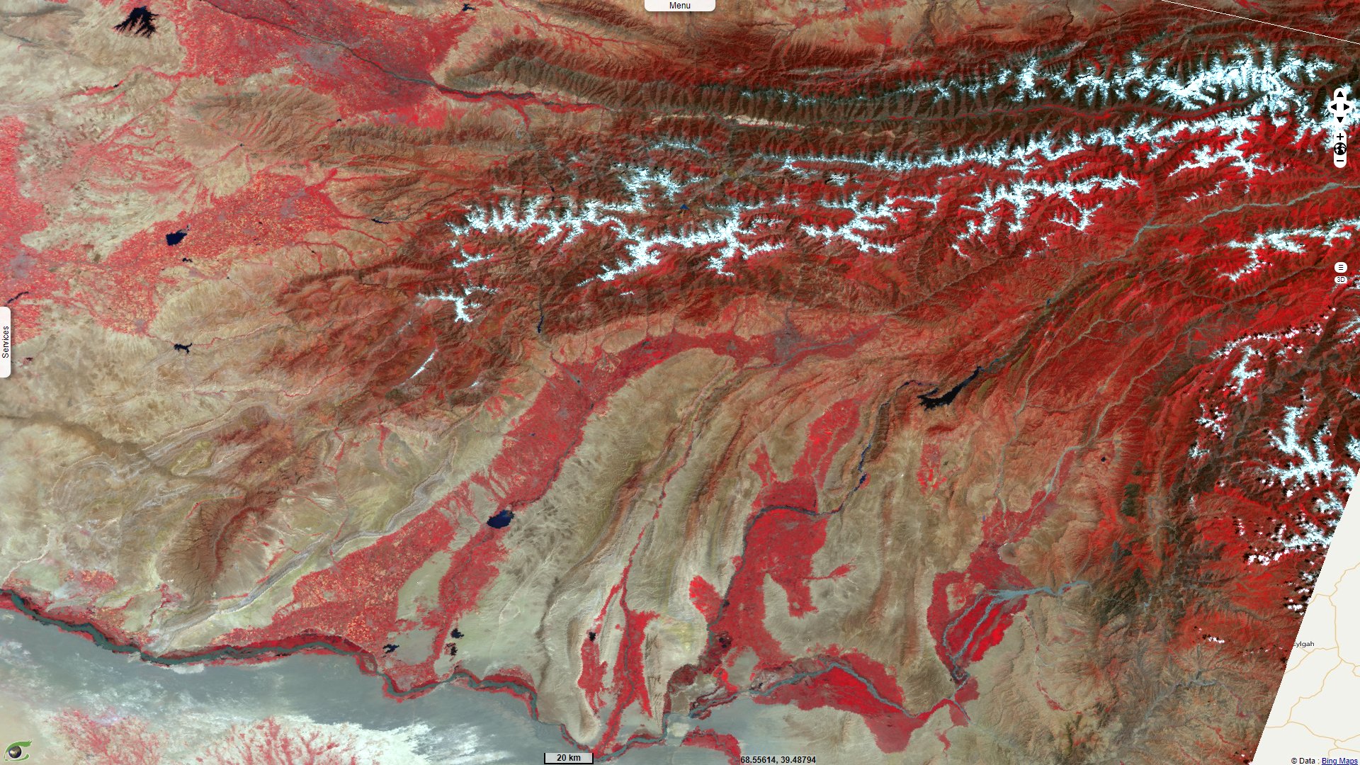
World water day, Amu Darya, a vulnerable water tower
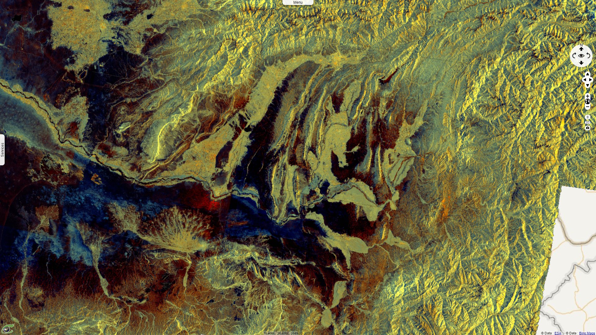
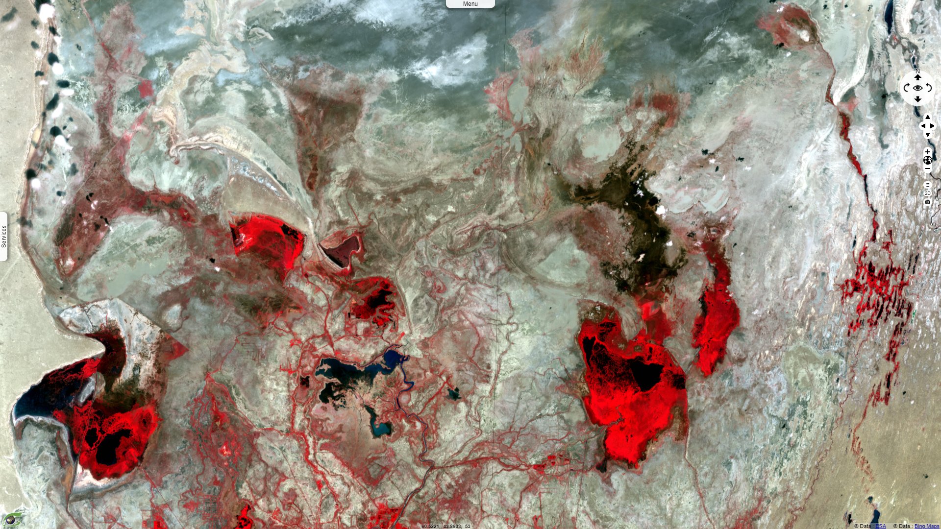
Sentinel-1 CSAR IW acquired on 24 July 2019
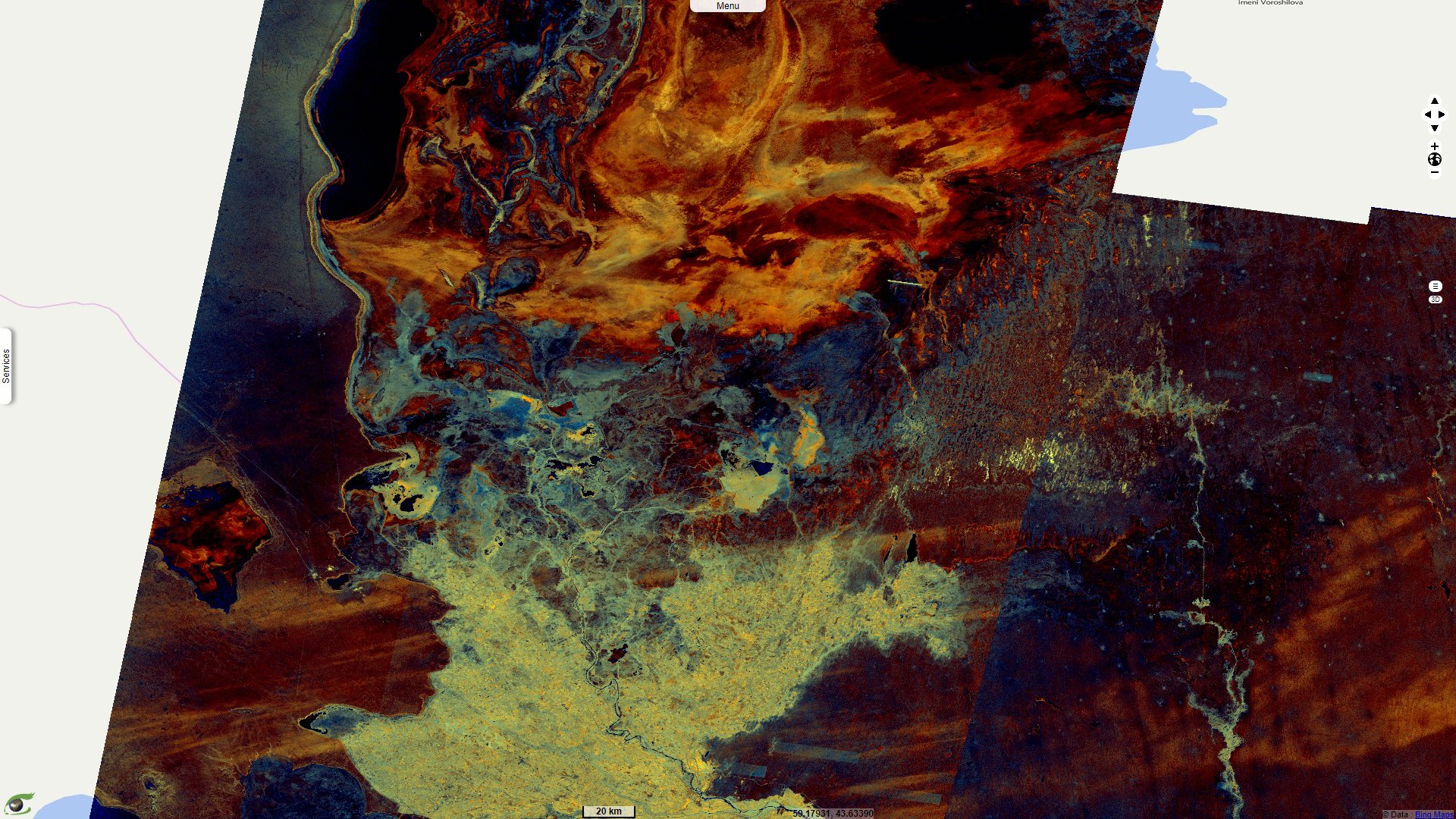
Sentinel-3 OLCI & SLSTR acquired on 25 July 2019
...
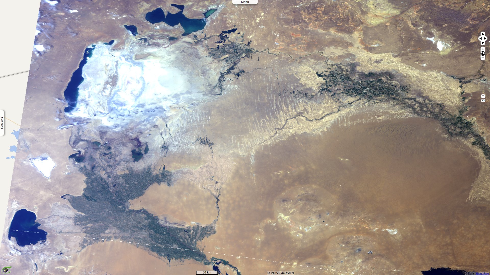
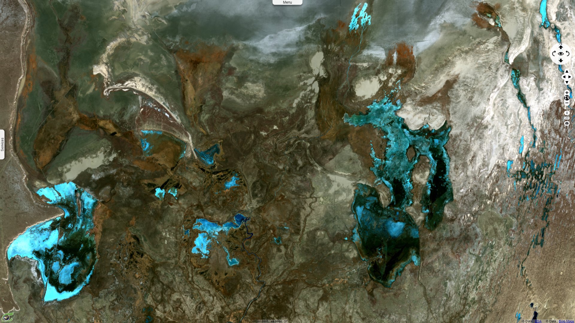
Sentinel-2 MSI acquired on 31 July 2019
Keyword(s): Land, water, hydrology, cryosphere, mountain, glacier, snow, ice, precipitations, irrigated agriculture, environment, endorheic basin, Turkmenistan, Uzbekistan, Afghanistan, Tajikistan.
The United Nations celebrate each year the World Water Day as explained hereafter: "World Water Day, held on 22 March every year since 1993, focuses on the importance of freshwater. World Water Day celebrates water and raises awareness of the 2.2 billion people living without access to safe water. It is about taking action to tackle the global water crisis. A core focus of World Water Day is to support the achievement of Sustainable Development Goal 6: water and sanitation for all by 2030.
Today, water is under extreme threat from a growing population, increasing demands of agriculture and industry, and the worsening impacts of climate change."
The Institute of Tibetan Plateau Research highlights an article dealing with major glaciers, the World's water towers: "Scientists from around the world have assessed the planet's 78 mountain glacier-based water systems. For the first time, they ranked them in order of their importance to adjacent lowland communities while assessing their vulnerability to future environmental and socioeconomic changes. These systems, known as mountain water towers, store and transport water via glaciers, snow packs, lakes and streams, thereby supplying invaluable water resources to 1.9 billion people globally - roughly a quarter of the world's population."
This article, Importance and vulnerability of the world’s water towers, written by Walter Immerzeel of the Utrecht University has been published in Nature. It develops: "The term 'water tower' is used to describe the role of water storage and supply that mountain ranges play to sustain environmental and human water demands downstream. Compared to its downstream area, a water tower (seasonally) generates higher runoff from rain as a result of orographic precipitation and delays the release of water by storing it in snow and glaciers (because of lower temperatures at high altitude) and lake reserves. Because of their buffering capacity, for instance by supplying glacier melt water during the hot and dry season, water towers provide a relatively constant water supply to downstream areas".
"Furthermore, mountains are highly sensitive to climate change and are warming faster than low-lying areas due to elevation-dependent warming. Climate change therefore threatens the entire mountain ecosystem. Worldwide, the vast majority of glaciers are losing mass, snow melt dynamics are being perturbed, and precipitation and evapotranspiration patterns are shifting, all leading to future changes in the timing and magnitude of mountain water availability."
"The supply index (SI) is based on the average of four indicators that are quantified for each WTU (Water Tower Unit): precipitation, snow cover, glacier ice storage and surface water.
- If the precipitation in the WTU is high relative to the overall basin precipitation and if the inter-annual and intra-annual variation is low (i.e. the supply is constant), a WTU scores high on the precipitation indicator.
- If a WTU has persistent snow cover throughout the year and the snowpack shows lower inter-annual variation, this will result in a high snow indicator.
- Similarly, if the total glacier ice volume and glacier melt water yield in a WTU are high relative to the basin precipitation then a WTU has a high glacier indicator value.
- Finally, we assess the amount of water stored in lakes and reservoirs in a WTU compared to basin precipitation to derive a surface water indicator.
"To derive a demand index (DI) for each WTU, we quantify the monthly water requirements to be supplied by the water towers to sustain the WTU basin’s net sectoral water demand for
- irrigation,
- industrial (energy and manufacturing),
- domestic purposes,
- monthly natural water demand, relative to the total annual demand
"The Asian river basins, specifically the heavily irrigated and densely populated basins such as the Indus, Amu Darya, Tigris, Ganges-Brahmaputra, and Tarim, score higher on the demand index than other basins across the world and they score high on each sectoral demand indicator. In those basins, the required water to close the gap between demand and downstream supply may also originate from (unsustainable) groundwater use. However, specifically in those cases, when there is a large water gap being (partly) closed by unsustainable groundwater pumping, the WTU water supply is critical to both meet the demand and recharge the aquifers".
"We assess the vulnerability of each WTU. For this analysis, we include the
- hydro-political tension,
- baseline water stress,
- government effectiveness,
- projected climate change,
- projected change in GDP,
- and projected population change.
"Nearly all important WTUs in Asia are also highly vulnerable. Most WTUs are transboundary, densely populated, heavily irrigated basins and the vulnerability is primarily driven by high population and economic growth rates and in most cases ineffective governance. Moreover, the Syr Darya, Amu Darya and Indus, in particular, are characterized by considerable hydro-political tension. In most cases, downstream riparian statesnare dependent on mountain water resources provided by bordering upstream states to supply the competing irrigation, hydropower and domestic demands.", adds Walter Immerzeel in his article.
The views expressed herein can in no way be taken to reflect the official opinion of the European Space Agency or the European Union.
Contains modified Copernicus Sentinel data 2026, processed by VisioTerra.
Contains modified Copernicus Sentinel data 2026, processed by VisioTerra.
| More on European Commission space: |  |
 |
 |
||||
| More on ESA: | |
|
|
S-1 website | S-2 website | S-3 website | |
| More on Copernicus program: | |
|
|
Scihub portal | Cophub portal | Inthub portal | Colhub portal |
| More on VisioTerra: | |
|
|
Sentinel Vision Portal | Envisat+ERS portal | Swarm+GOCE portal | CryoSat portal |