Seasonal contrast in Chambeshi floodplains, Zambia
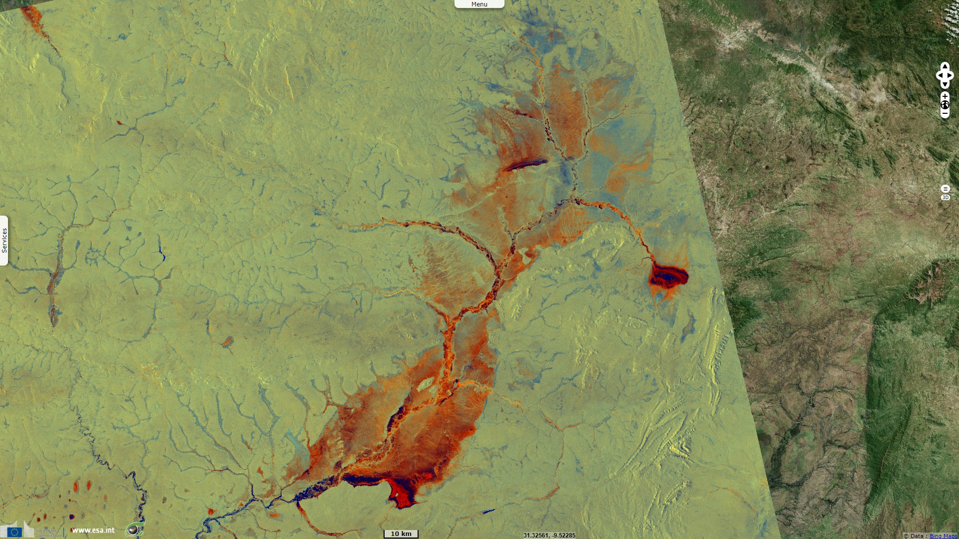
Sentinel-1 CSAR IW acquired on 08 September 2018 from 16:17:21 to 16:17:46 UTC
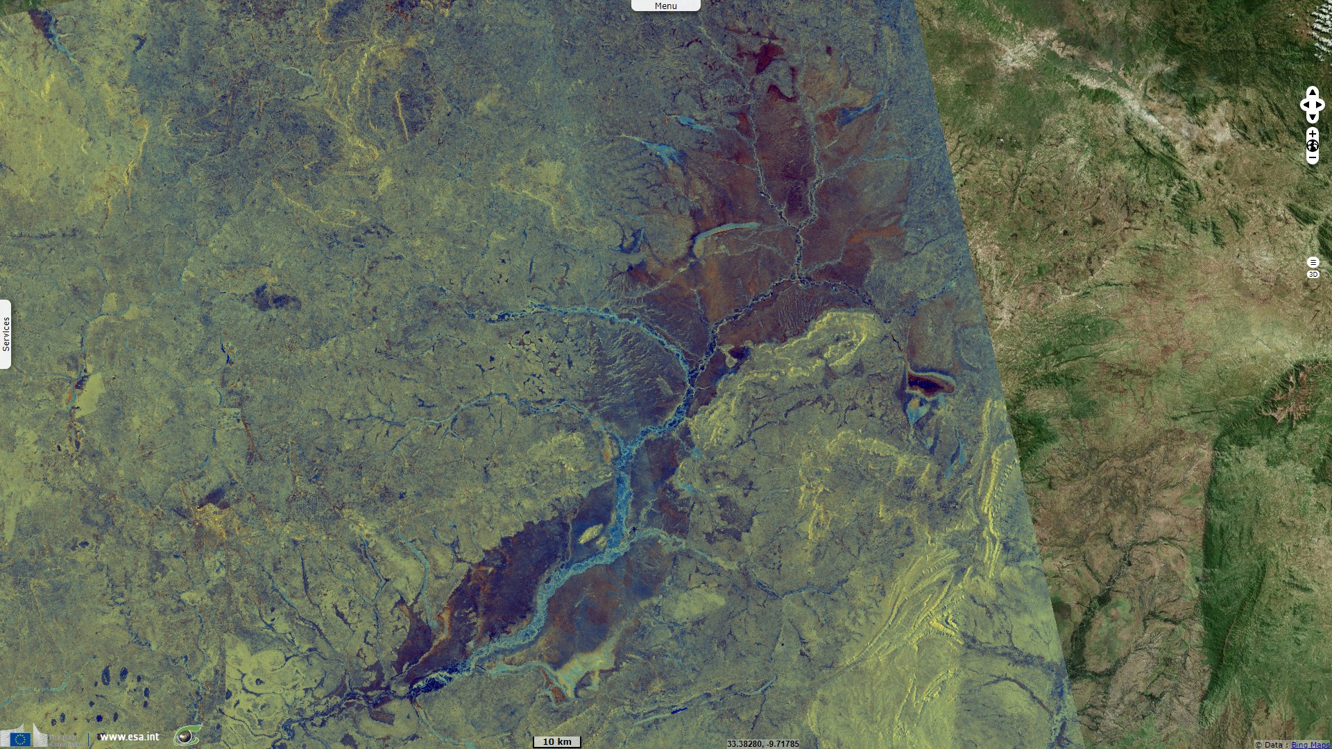
Sentinel-1 CSAR IW acquired on 07 March 2019 from 16:17:19 to 16:17:44 UTC
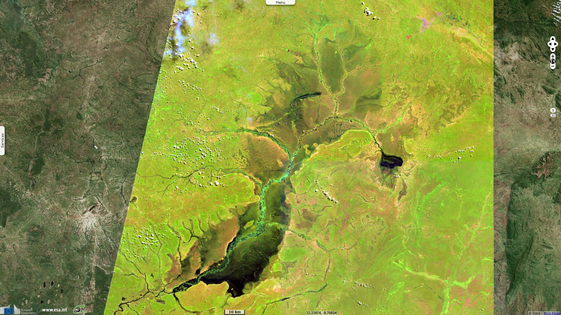
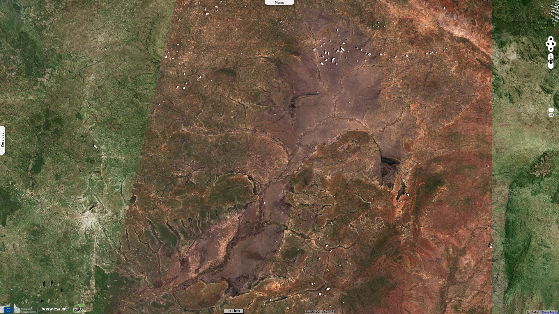
Sentinel-2 MSI acquired on 17 April 2019 at 07:46:19 UTC
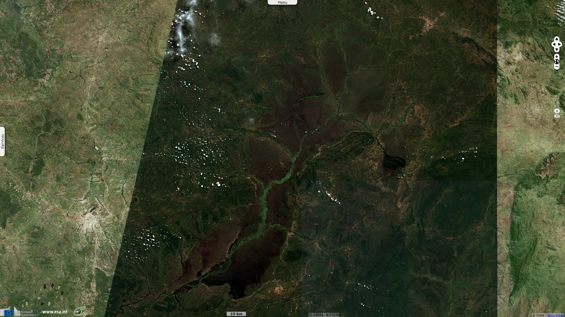
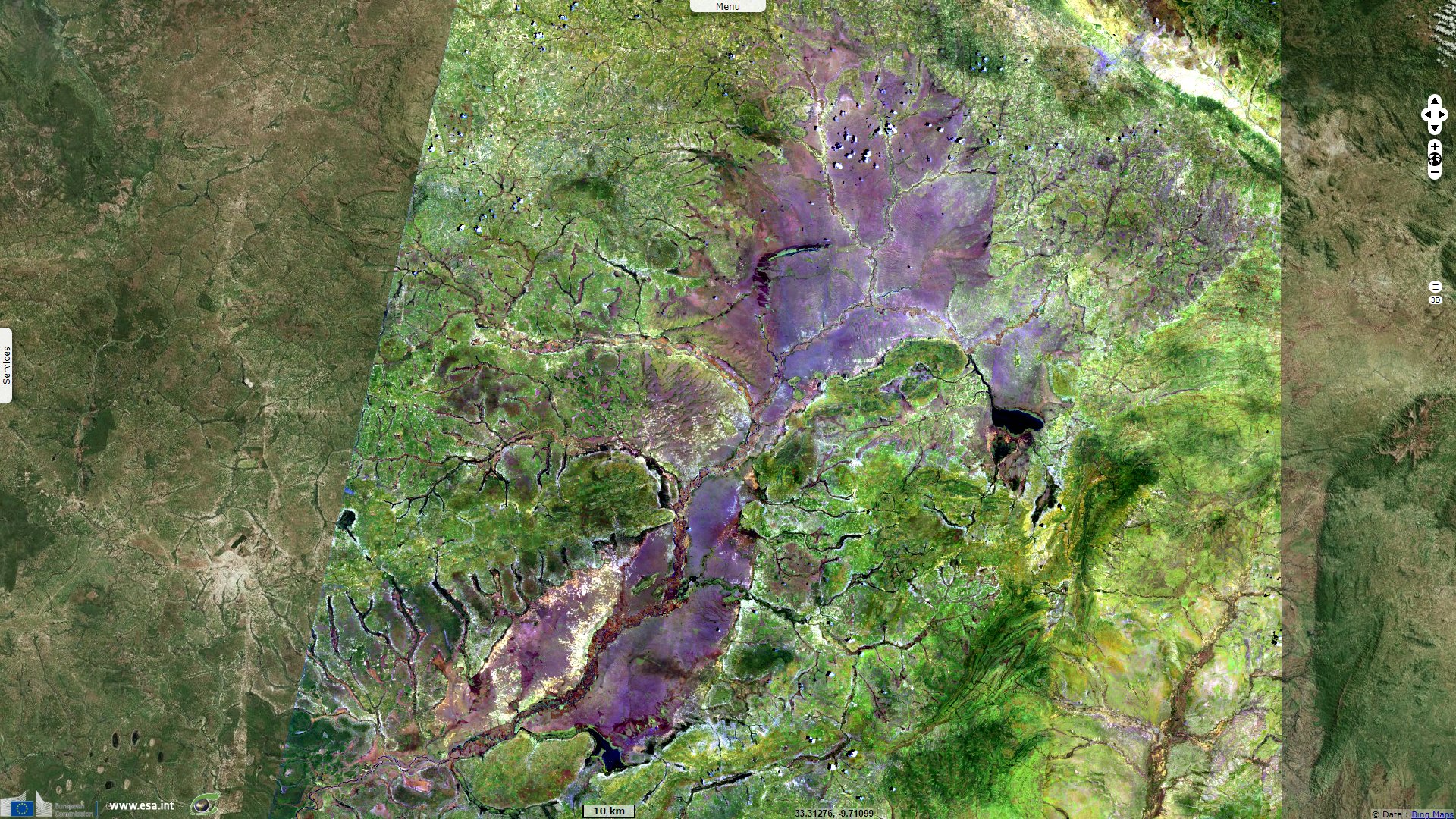
Sentinel-2 MSI acquired on 08 November 2019 at 07:51:31 UTC
Sentinel-1 CSAR IW acquired on 07 March 2019 from 16:17:19 to 16:17:44 UTC
Sentinel-2 MSI acquired on 17 April 2019 at 07:46:19 UTC
Sentinel-2 MSI acquired on 08 November 2019 at 07:51:31 UTC
Keyword(s): Wetland, marshes, tropical climate, dry season, wet season, flooding, biodiversity, Congo river, Great Rift Valley.
By the end of the rainy season in May, it delivers a flood which recharges the swamps and inundates a vast floodplain to the southeast
Even during the dry season the floodplains sustain a great deal of wildlife including buffalos, antelopes, elephants, zebras, giraffes, a large numbers of birds with hippopotamus and crocodiles in the waters.
The views expressed herein can in no way be taken to reflect the official opinion of the European Space Agency or the European Union.
Contains modified Copernicus Sentinel data 2026, processed by VisioTerra.
Contains modified Copernicus Sentinel data 2026, processed by VisioTerra.
| More on European Commission space: |  |
 |
 |
||||
| More on ESA: | |
|
|
S-1 website | S-2 website | S-3 website | |
| More on Copernicus program: | |
|
|
Scihub portal | Cophub portal | Inthub portal | Colhub portal |
| More on VisioTerra: | |
|
|
Sentinel Vision Portal | Envisat+ERS portal | Swarm+GOCE portal | CryoSat portal |