Inhabited lakes between Amsterdam & Utrecht, NL
Sentinel-1 CSAR IW acquired on 02 March 2018 at 05:58:11 UTC
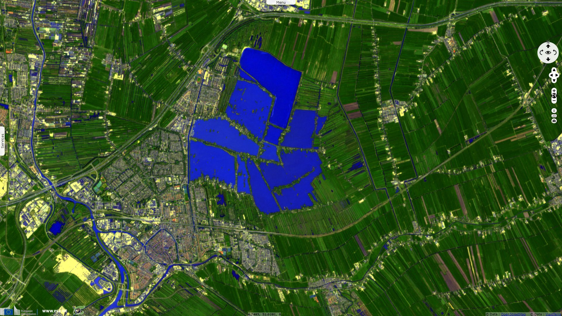
Sentinel-2 MSI acquired on 02 March 2018 at 10:50:21 UTC
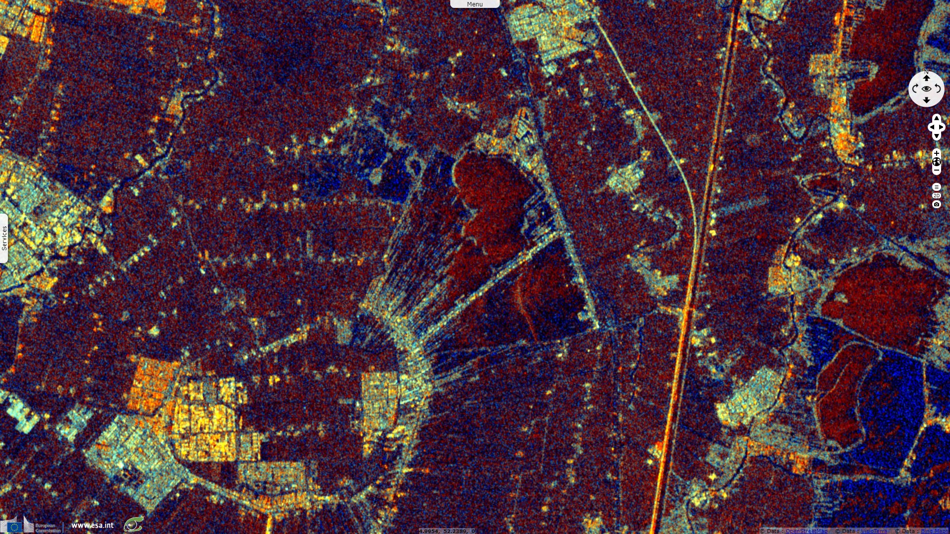
Sentinel-1 CSAR IW acquired on 18 April 2020 at 17:25:08 UTC
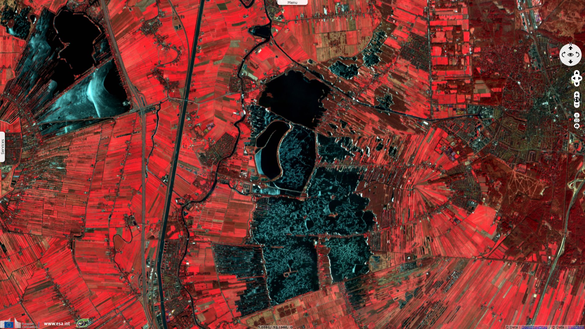
Sentinel-2 MSI acquired on 20 April 2020 at 10:50:31 UTC
Sentinel-2 MSI acquired on 02 March 2018 at 10:50:21 UTC
Sentinel-1 CSAR IW acquired on 18 April 2020 at 17:25:08 UTC
Sentinel-2 MSI acquired on 20 April 2020 at 10:50:31 UTC
Keyword(s): Lake, mine, urban planning, channels, the Netherlands, NL
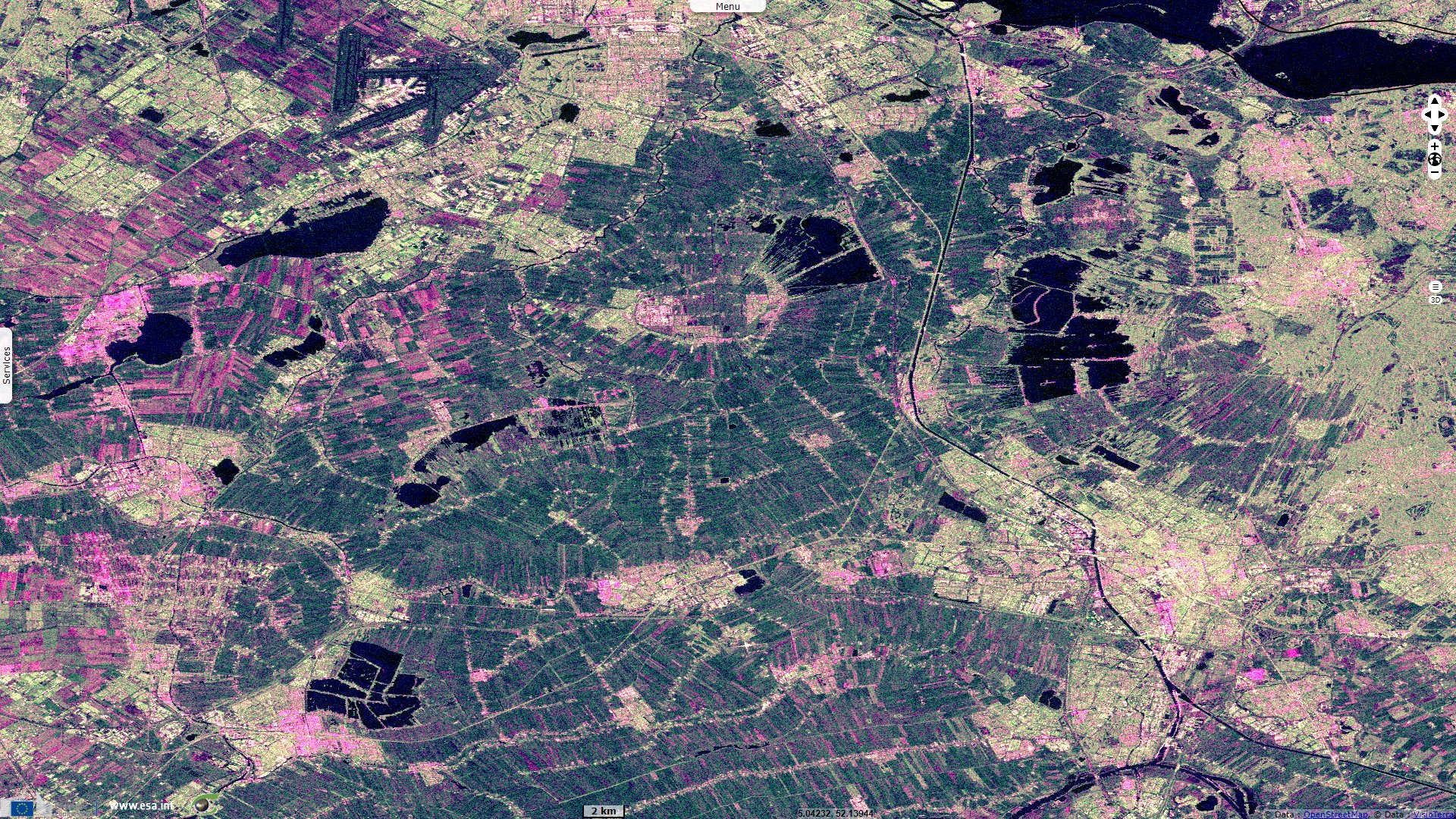
The Netherlands are the most densely populated country in Europe; its limited farmland area is highly productive and mechanized.
The views expressed herein can in no way be taken to reflect the official opinion of the European Space Agency or the European Union.
Contains modified Copernicus Sentinel data 2026, processed by VisioTerra.
Contains modified Copernicus Sentinel data 2026, processed by VisioTerra.
| More on European Commission space: |  |
 |
 |
||||
| More on ESA: | |
|
|
S-1 website | S-2 website | S-3 website | |
| More on Copernicus program: | |
|
|
Scihub portal | Cophub portal | Inthub portal | Colhub portal |
| More on VisioTerra: | |
|
|
Sentinel Vision Portal | Envisat+ERS portal | Swarm+GOCE portal | CryoSat portal |