Lights of the shale oil flaring, Bakken Formation, USA
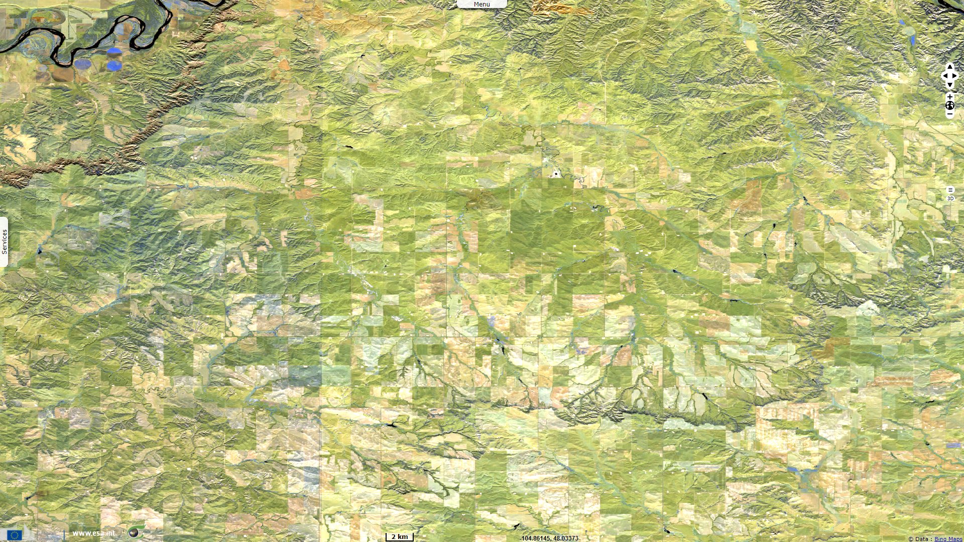
Sentinel-2 MSI acquired on 28 October 2021 at 17:54:51 UTC
Sentinel-2 MSI acquired on 31 October 2021 at 18:05:11 UTC
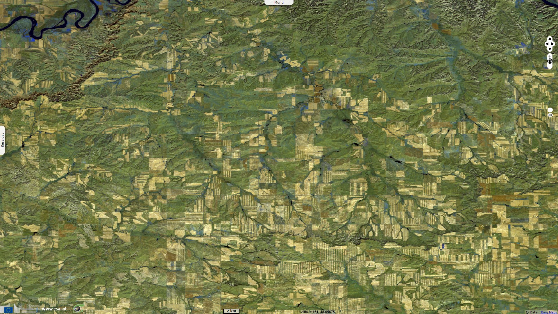
Sentinel-1 CSAR IW acquired on 05 December 2021 at 00:39:28 UTC
...
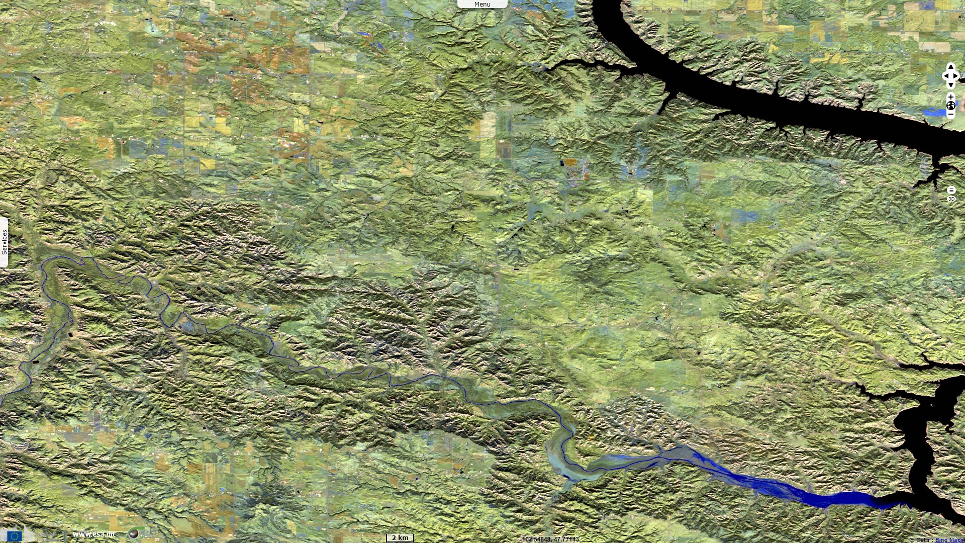
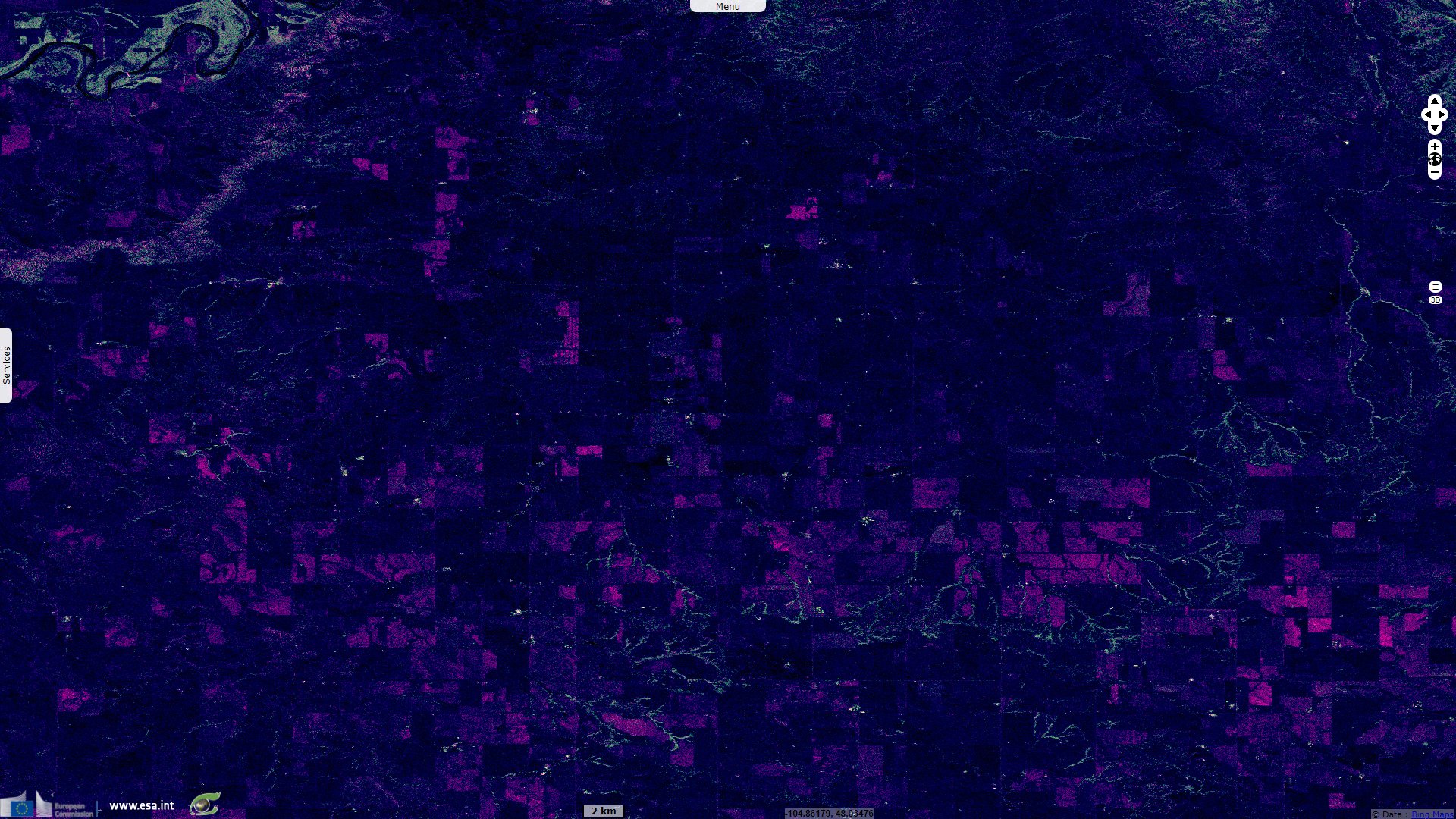
Sentinel-1 CSAR IW acquired on 01 March 2022 from 13:07:30 to 13:07:55 UTC
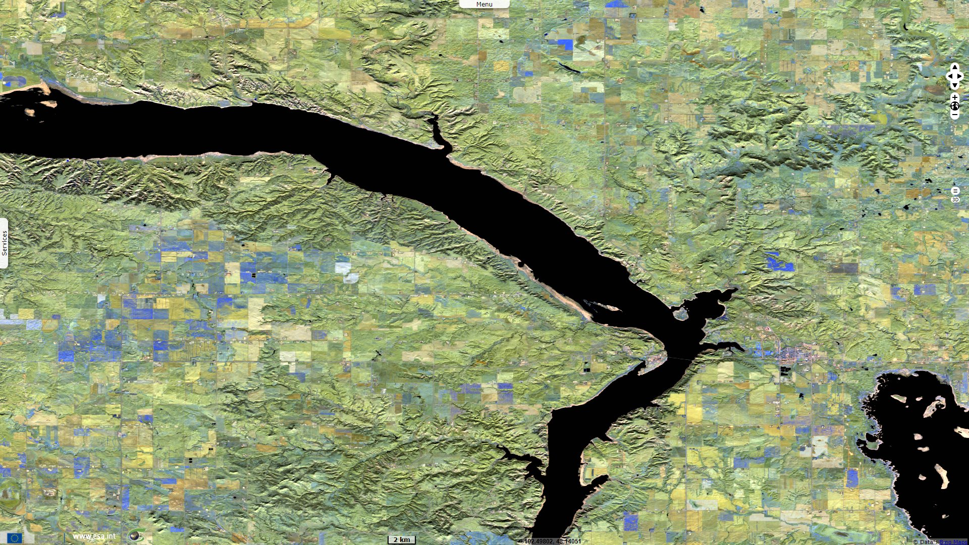
Sentinel-2 MSI acquired on 31 October 2021 at 18:05:11 UTC
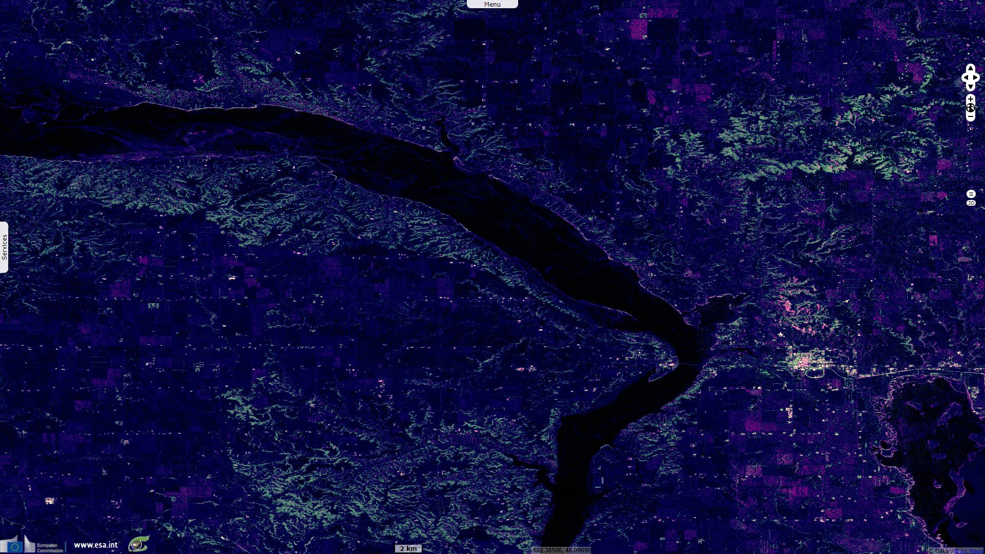
Sentinel-1 CSAR IW acquired on 05 December 2021 at 00:39:28 UTC
...
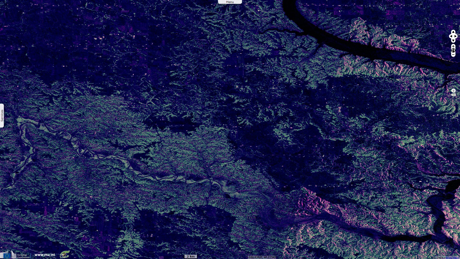
Sentinel-1 CSAR IW acquired on 01 March 2022 from 13:07:30 to 13:07:55 UTC
Keyword(s): Natural resources, climate change, oil and gas, non renewable energy, United States

Increased US oil production from hydraulically fractured tight oil wells in formations such as the Bakken was mostly responsible for the decrease in US oil imports since 2005. The US imported 52% of its oil in 2011, down from 65% in 2005. Hydraulically fractured wells in the Bakken, Eagle Ford, and other tight oil targets enabled US crude oil production to rise in September 2013 to the highest output since 1989.

In 2013, the local paper Valley News Live estimated the recoverable reserves: "The government estimates up to 7.4 billion barrels of oil can be recovered from the Bakken and Three Forks formations in the Dakotas and Montana, using current technology. The U.S. Geological Survey estimate released Tuesday increases an earlier estimate by more than 3 billion barrels. The USGS estimated in 2008 that up to 4.3 billion barrels of oil could be recovered from the Bakken. The agency called it the largest continuous oil accumulation it has ever assessed."

This considerable increase has been made possible by the combined use of horizontal drilling, hydraulic fracturing, and a large number of wells drilled. While these technologies have been consistently in use since the 1980s, the Bakken trend is the place where they are being most heavily used: 150 active rigs in the play and a rate of 1800 added wells per year.
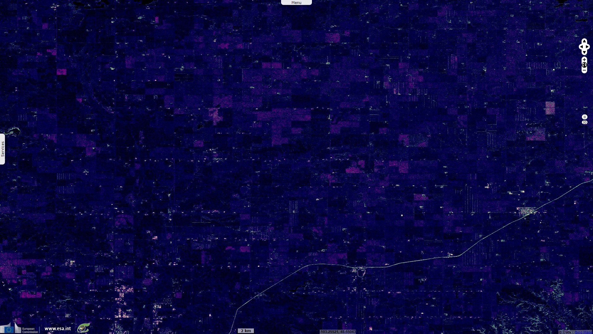
The Bakken Formation supports an unconventional oil and natural gas play in North Dakota and Canada. The main product is oil, but most wells also yield natural gas that has few local markets, storage options, or pipelines. Much of that natural gas is flared.
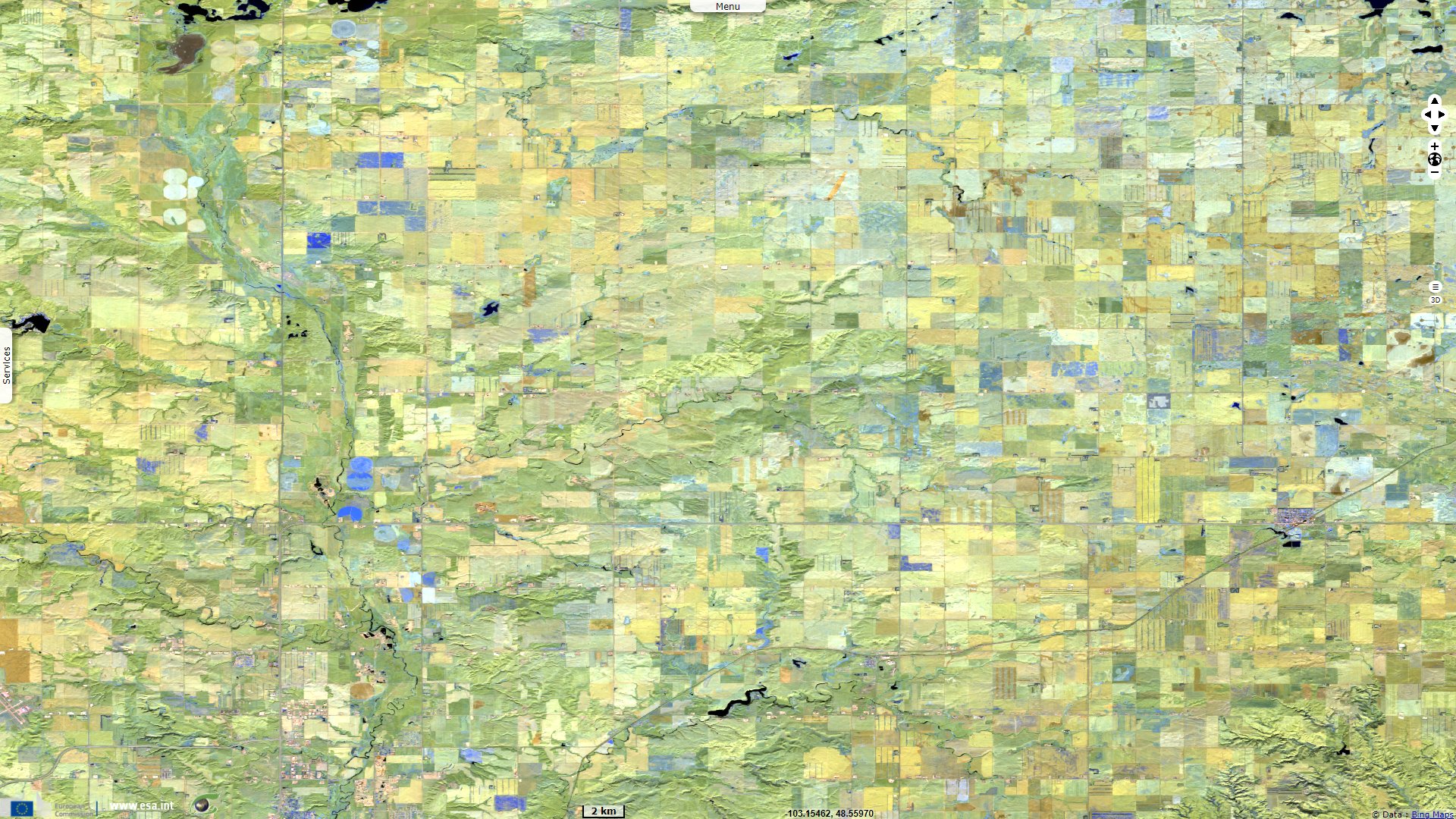
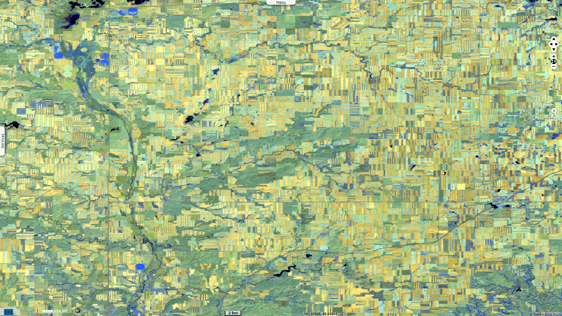
The US Earth Resources Observation and Science (EROS) Center explains the effect on land cover: "Thousands of well pads are scattered across northwestern North Dakota. The parcel of land dedicated to oil pumping is cleared for setting up drilling equipment. Once drilling is completed at a location, it can then pump oil. Each pad seen in the images is a well pad with either drilling or pumping in progress. In the entire Williston Basin, 12 990 hectares of land have been converted to well pads. The previous land cover of this area was almost entirely agriculture and prairie."

Regarding the drilling technique, EROS describes how the production increased due to innovations: "A new drilling technique called pad drilling reduces the overall footprint of land cover change caused by the industry. Several horizontal well bores are drilled from a single larger pad. Pad drilling became more widespread in 2010 and now accounts for about 75% of all new wells. While the number of wells drilled can increase, the land requirement for increased production is not as extensive. Furthermore, other infrastructure, such as roads and pipelines, are reduced overall."
"Pad drilling also has the benefit of more wells being drilled in less time. A significant area of underground resources can be tapped with minimal impact on the surface. Even as the number of new drilling wells slows, production can continue to increase."
One of the major fields of Bakken Formation are located in Montana. According to the site searchanddiscovery.com: "Elm Coulee Field, located in the Richland County, MT portion of the western Williston Basin, has been informally named by the MT Oil & Gas Commission to cover Bakken (Lower Mississippian / Upper Devonian) formation production in the county that is not located under previously designated field areas. Over 350 horizontal development wells have been drilled since the field’s initial horizontal producer was drilled in 2000 by LYCO Energy."
"Current data indicates estimated ultimate reserves per horizontal well ranging to over 1 500 000 bbls of oil, averaging approximately 500 000 bbls per well. From wells drilled to date, the field is expected to produce in excess of 270 million bbls of oil from an area of over 550 square miles. The field is currently producing over 1.7 million barrels of oil per month (55 000+ bbls/day) and has produced over 33 million barrels of oil since its discovery in 2000. Current and planned exploratory drilling activity may expand the limits of the field dramatically."

The views expressed herein can in no way be taken to reflect the official opinion of the European Space Agency or the European Union.
Contains modified Copernicus Sentinel data 2026, processed by VisioTerra.
Contains modified Copernicus Sentinel data 2026, processed by VisioTerra.
| More on European Commission space: |  |
 |
 |
||||
| More on ESA: | |
|
|
S-1 website | S-2 website | S-3 website | |
| More on Copernicus program: | |
|
|
Scihub portal | Cophub portal | Inthub portal | Colhub portal |
| More on VisioTerra: | |
|
|
Sentinel Vision Portal | Envisat+ERS portal | Swarm+GOCE portal | CryoSat portal |