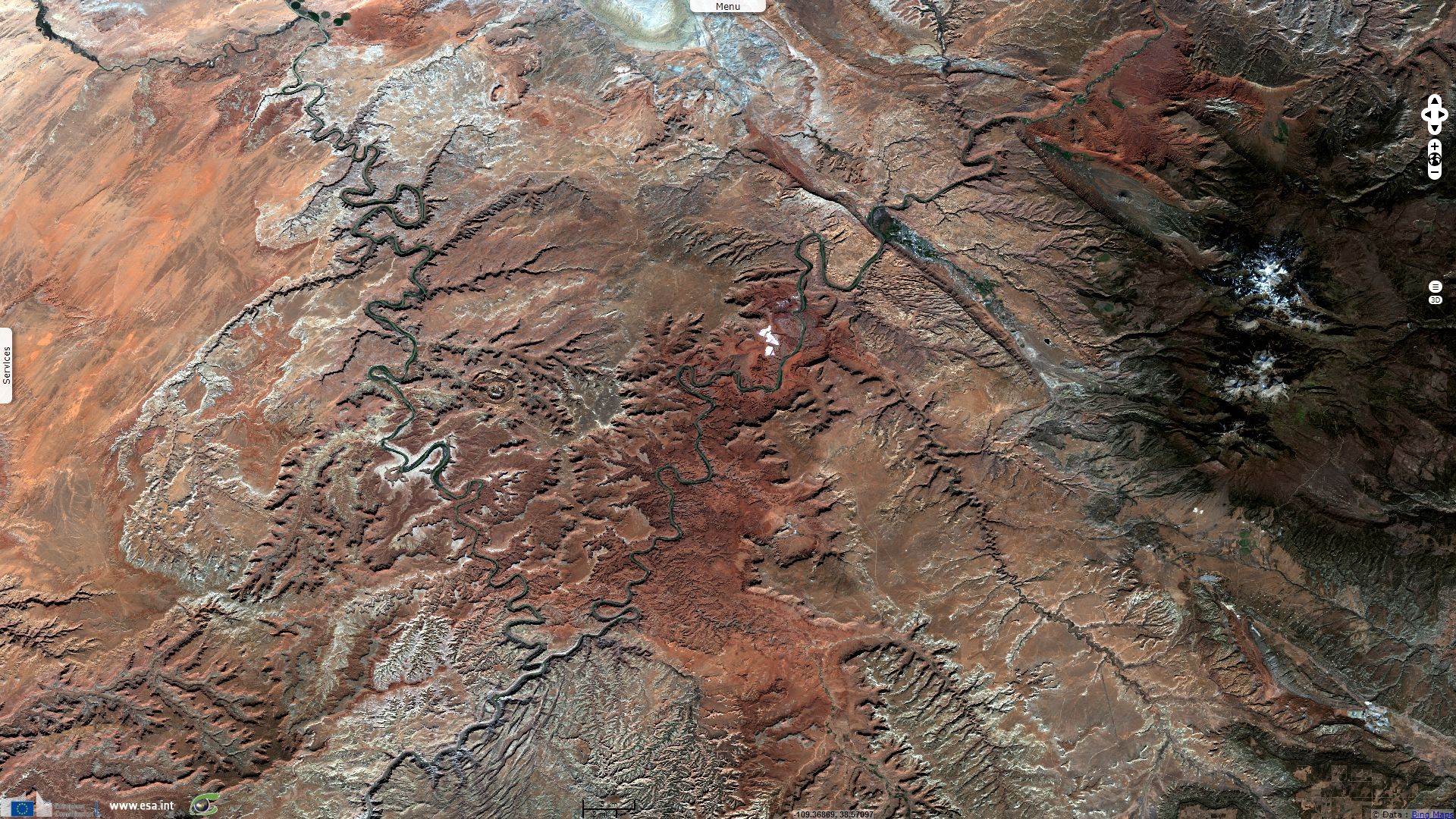
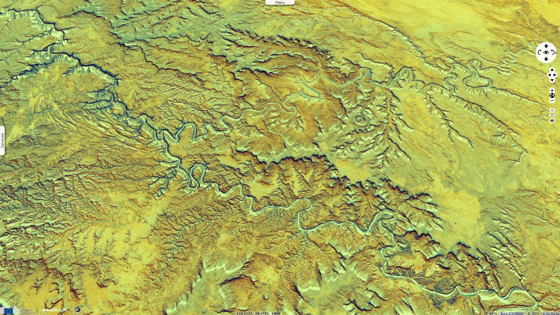
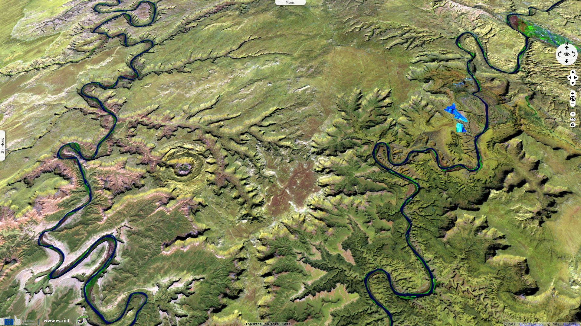
Labyrinthine landscape around Green river
Sentinel-2 MSI acquired on 12 October 2017 at 18:03:01 UTC
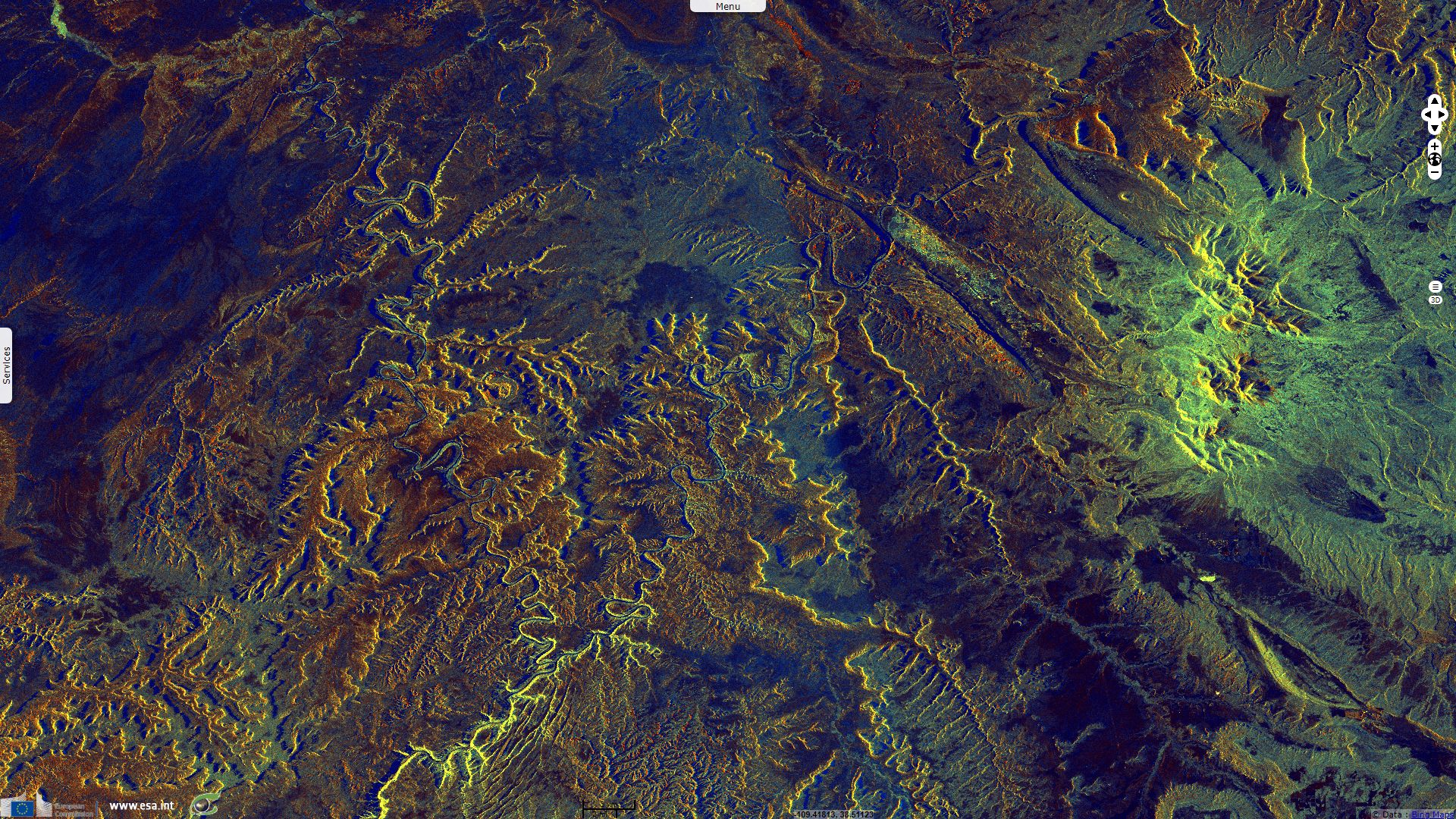
Sentinel-1 CSAR IW acquired on 15 October 2017 at 13:26:20 UTC
Sentinel-1 CSAR IW acquired on 16 October 2017 at 01:17:39 UTC
Sentinel-1 CSAR IW acquired on 15 October 2017 at 13:26:20 UTC
Sentinel-1 CSAR IW acquired on 16 October 2017 at 01:17:39 UTC
Keyword(s): River, hydrology, badlands, erosion, plateau, mesa, Canyonlands national park, Utah, Colorado, United States, USA
The views expressed herein can in no way be taken to reflect the official opinion of the European Space Agency or the European Union.
Contains modified Copernicus Sentinel data 2026, processed by VisioTerra.
Contains modified Copernicus Sentinel data 2026, processed by VisioTerra.
| More on European Commission space: |  |
 |
 |
||||
| More on ESA: | |
|
|
S-1 website | S-2 website | S-3 website | |
| More on Copernicus program: | |
|
|
Scihub portal | Cophub portal | Inthub portal | Colhub portal |
| More on VisioTerra: | |
|
|
Sentinel Vision Portal | Envisat+ERS portal | Swarm+GOCE portal | CryoSat portal |