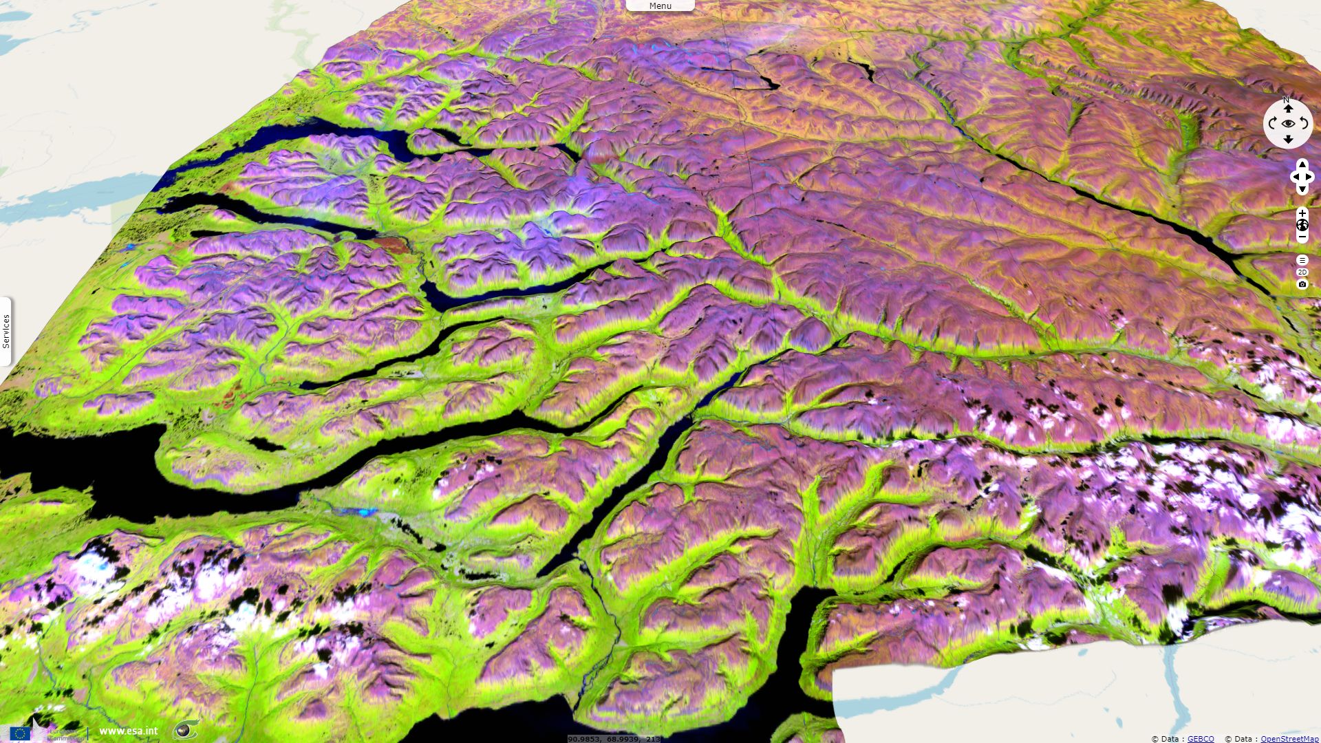
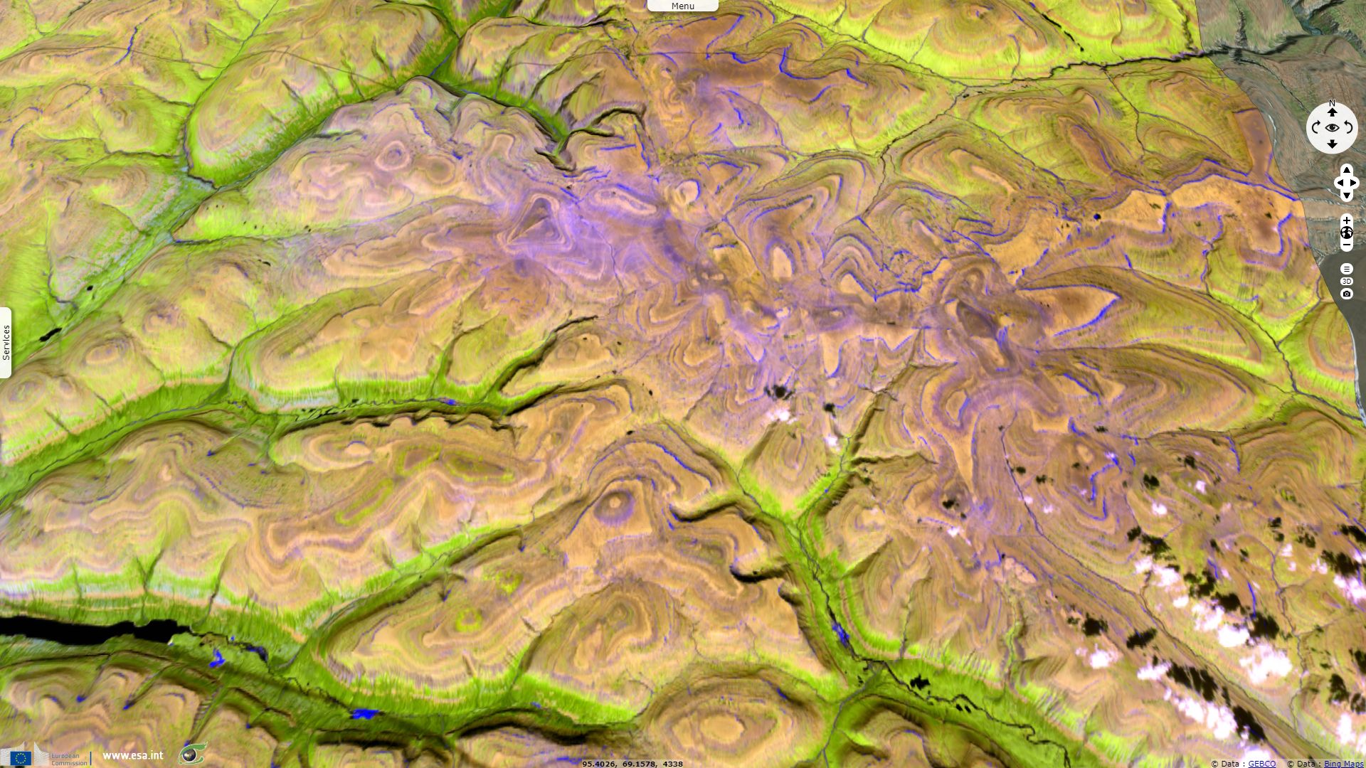
Sentinels visit trapps of the Putorana Plateau
Sentinel-3 OLCI FR acquired on 13 September 2016 at 04:00:17 UTC
...
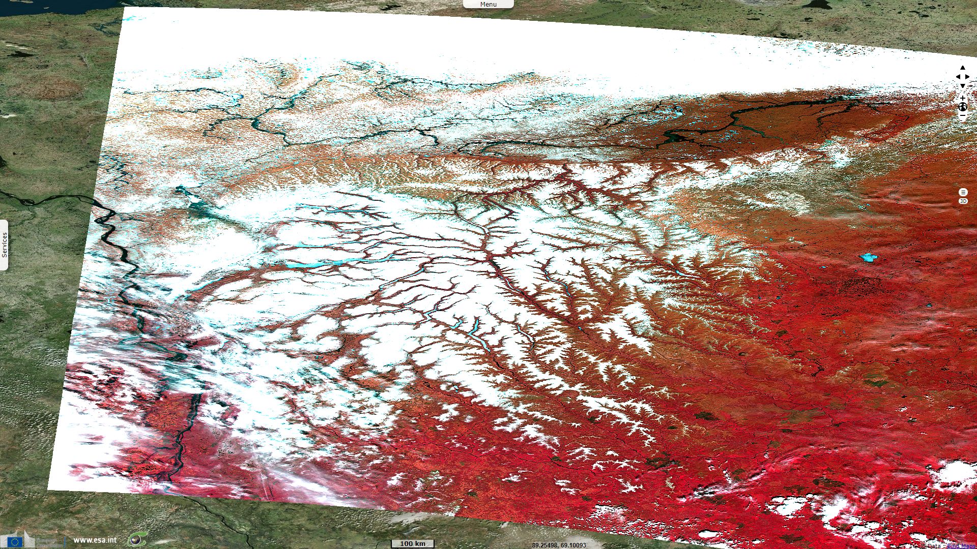
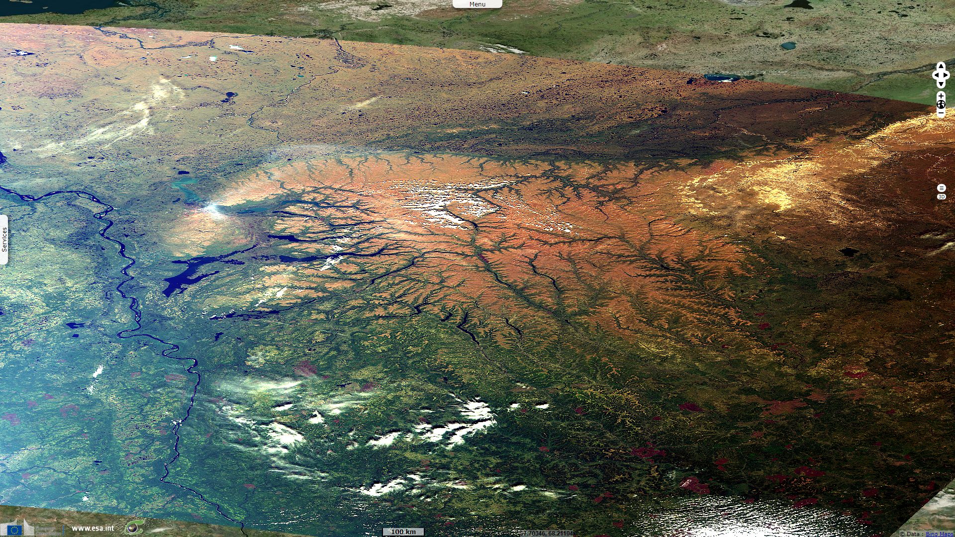
Sentinel-2 MSI acquired on 20 July 2017 at 05:46:39 UTC
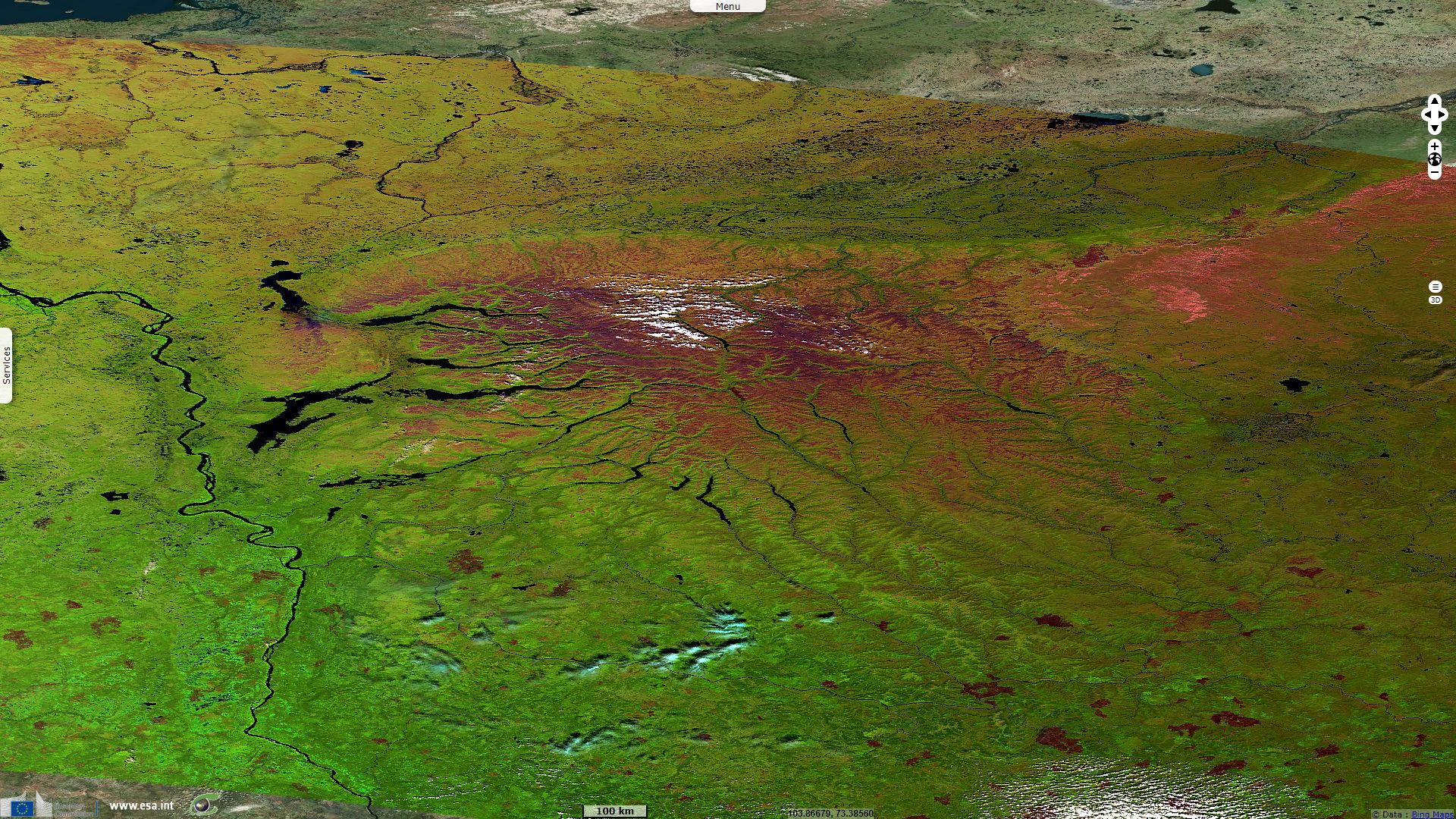
Sentinel-3 SLSTR RBT acquired on 21 July 2017 at 04:37:44 UTC
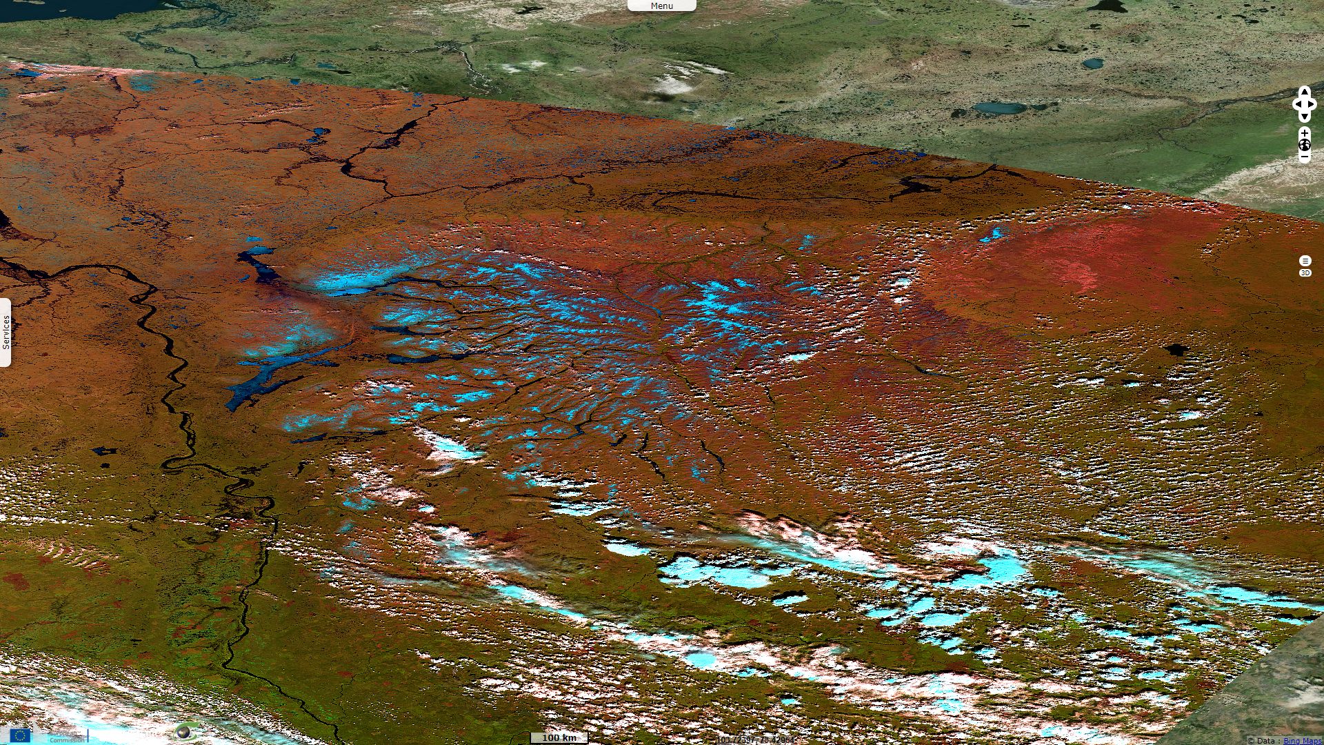
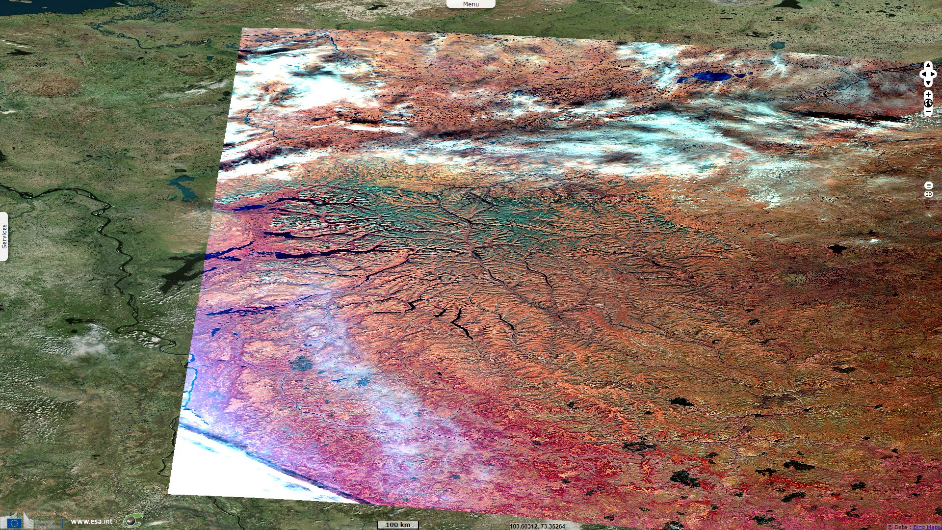
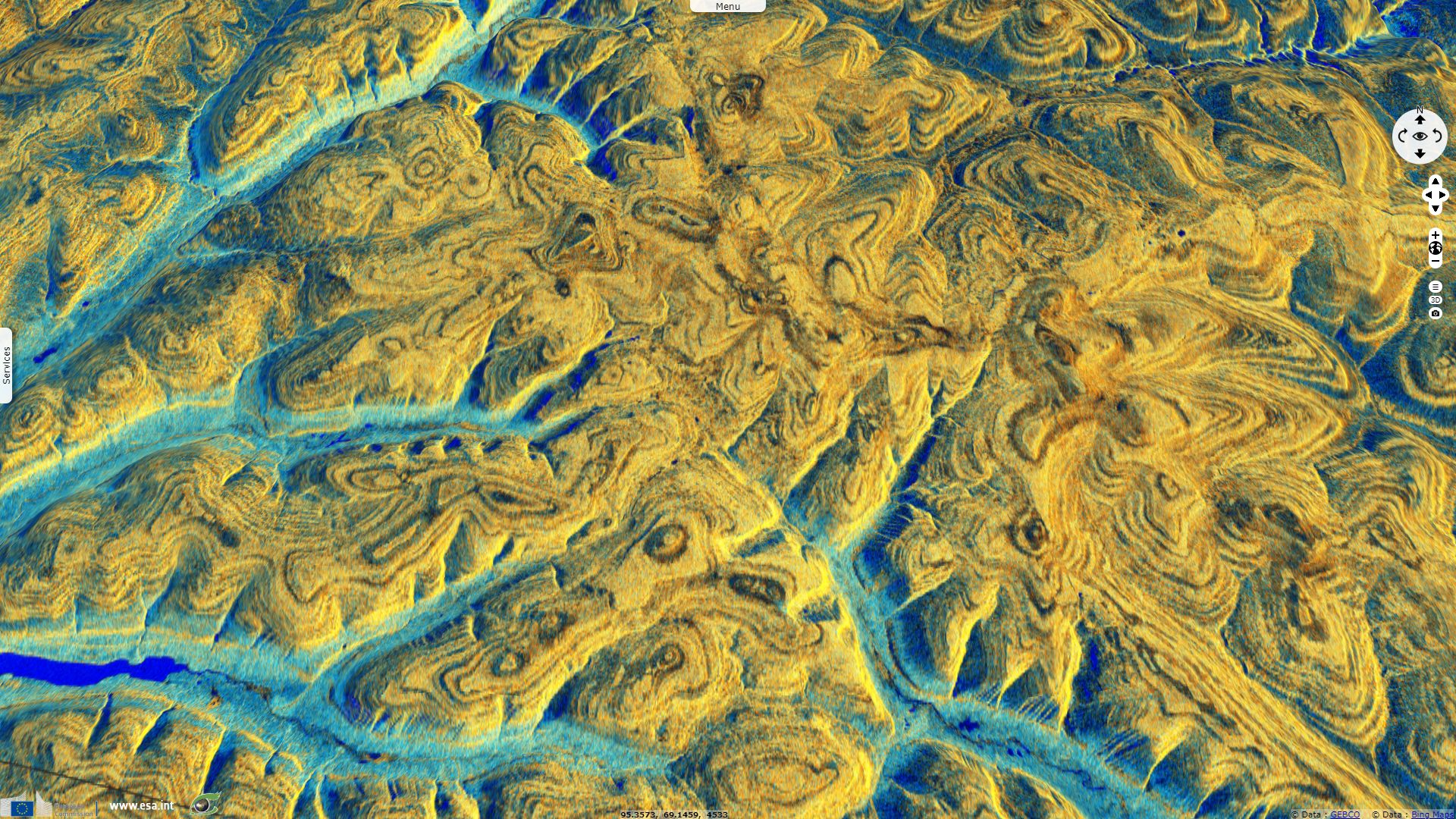
Sentinel-1 CSAR IW acquired on 20 August 2018 at 00:32:29 UTC
...
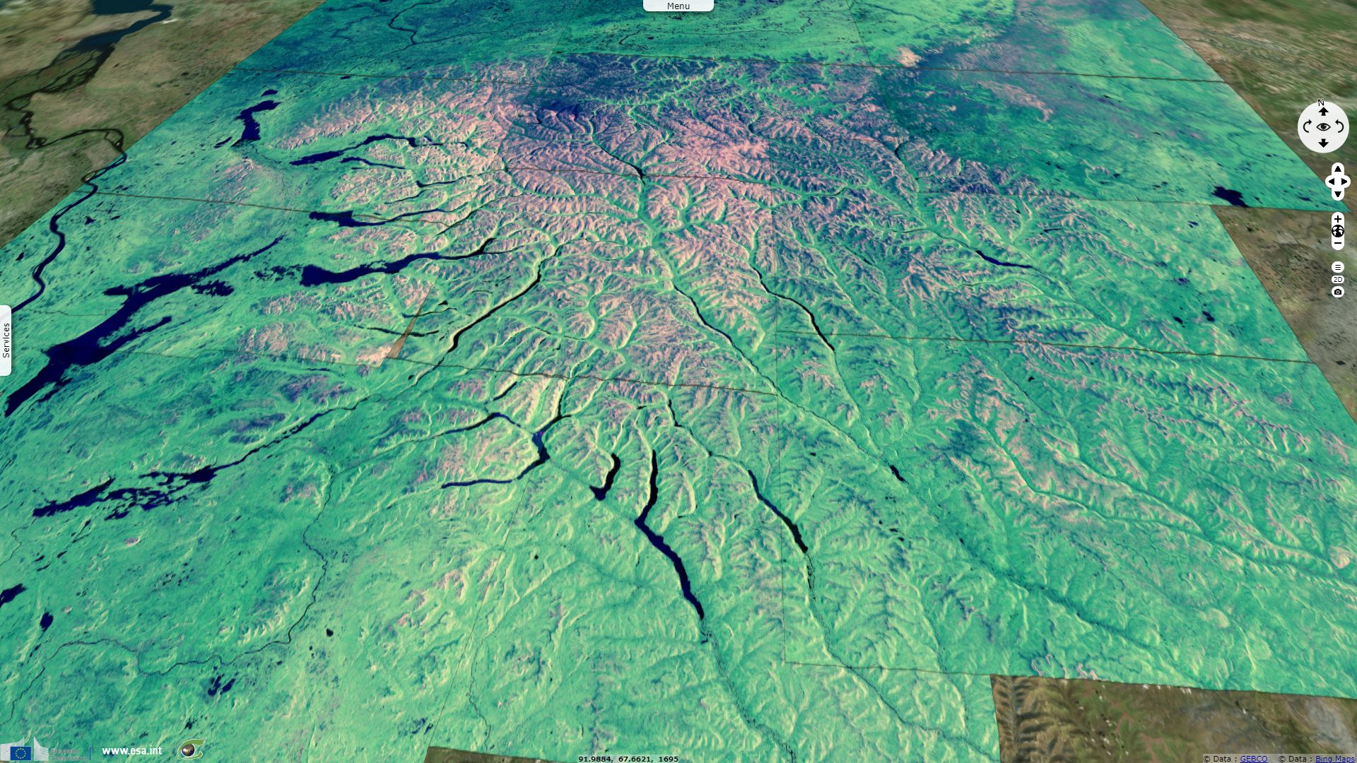
Sentinel-2 MSI acquired on 20 July 2017 at 05:46:39 UTC
Sentinel-3 SLSTR RBT acquired on 21 July 2017 at 04:37:44 UTC
Sentinel-1 CSAR IW acquired on 20 August 2018 at 00:32:29 UTC
Keyword(s): Land, geology, cryosphere, polar, snow, ice, hydrology, glacier, valley, fjord, canyon, biodiversity, reserve, taiga, tundra, arctic, UNESCO World Heritage, Russia
In the article The Demise of the Siberian Plume, Czamanske et al. introduce the Siberian large igneous province: "The Siberian flood-volcanic province represents the largest subaerial volcanic event known, although the original volume of more ancient events is difficult to determine because of erosion. Considering the coeval, mafic volcanic and intrusive formations known on the Siberian Platform, the Taymyr Peninsula, and the Western Siberian Lowlands, Masaitis (1983) estimated their volume to be ~4 x 10⁶ km3, originally extending over ~7 million km²."
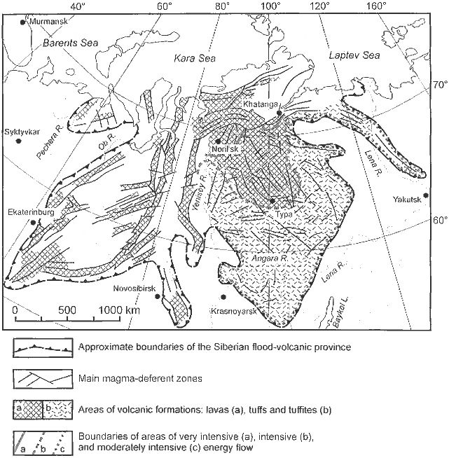
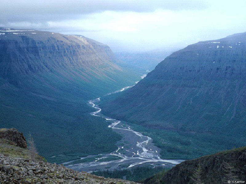
Chart of reconstruction of the Siberian flood-volcanis province (simplified after Masaitis, 1983) - Source.
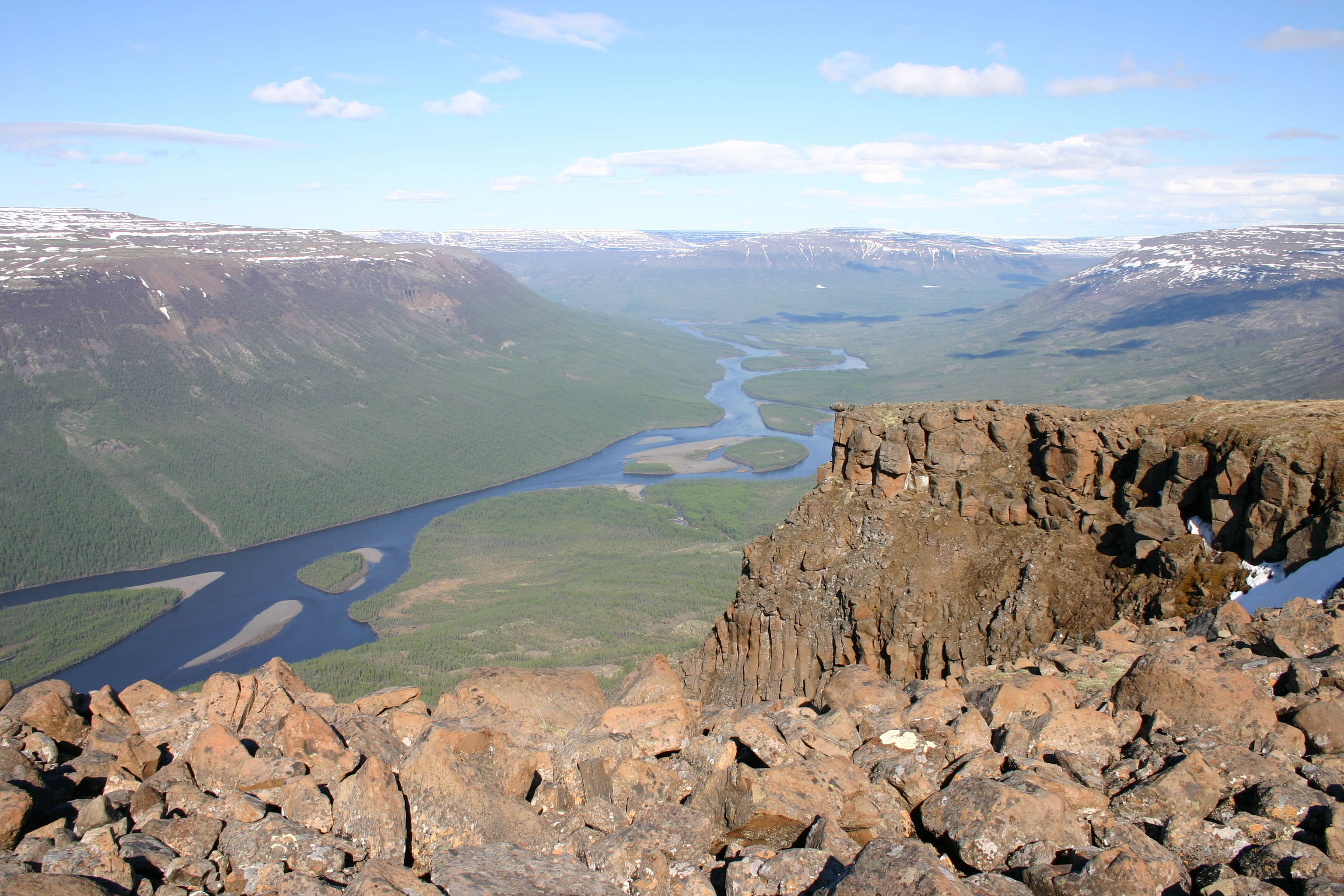
Valley of Khikikal river - Source.
"Reichow et al. (2002) recently confirmed that the extensive, buried basalts in the Western Siberian Lowlands are coeval with the basalts on the platform. Taking into consideration their studies of the Noril’sk and Maymecha-Kotuy areas, where the lava/tuff sequences approach 3500 m and 3000 m, respectively, with much of the sequence in the Maymecha-Kotuy area considered to be younger than most of the sequence at Noril’sk, Fedorenko & Czamanske (1997) estimated a combined maximal thickness of ~6500 meters."
It is this geologic context that gave birth to the vast basalt plateau called Putorana Plateau. A UNESCO World Heritage site, it is described as: "Comprising a vast area of 18 873 km², the property is located in the centre of the Putorana Plateau in the northern part of Central Siberia. The part of the plateau inscribed on the World Heritage list harbours a complete set of subarctic and arctic ecosystems in an isolated mountain range, including pristine taiga, forest tundra, tundra and arctic desert systems, as well as untouched cold-water lake and river systems."
"The combination of remoteness, naturalness and strict protection ensure that ecological and biological processes continue at a large scale with minimal human influence. The property provides a dramatic demonstration of ecological processes, including the interactions between healthy populations of a full range of Arctic fauna. The property is also one of the very few centres of plant species richness in the Arctic."
"A vast and diverse landscape of striking natural beauty, the Putorana Plateau is pristine. Its superlative natural features include an extensive area of layered basalt traps that has been dissected by dozens of deep canyons; countless cold water rivers and creeks with thousands of waterfalls; more than 25 000 lakes characterized by a fjord-like formation that is associated with a large variation in the relief. The immense arctic and boreal landscapes remain intact with carpets of lichens and forest that are unusual at such northern latitudes."
The Natural Heritage Protection Fund goes further: "The main part of the plateau is occupied by the Putoransky Reserve established in 1988. The Putoransky Reserve is one of the largest in Russia.
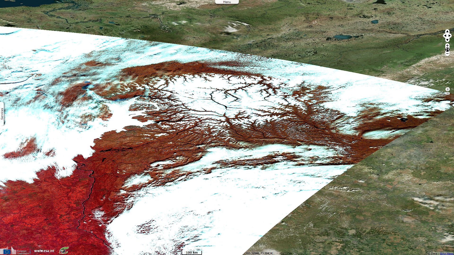
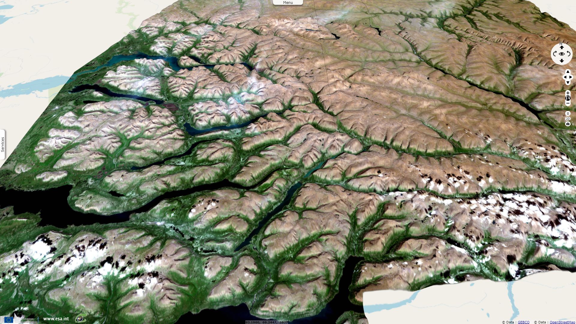
To science, firstly geology and geomorphology, this mountainous area gives classical example of the so-called trappean, or stepped relief (Swedish word trapp means stairs). It's a complex of high flat-topped mountain massifs divided by deep and wide stepped canyons. Such relief appeared here after elevation of ancient lava plateau generated during giant burning hot basalt mass outflow (between Palaeozoic and Mesozoic eras) which led to occurrence of giant tectonic faults. Due to different solidity levels of horizontal basalt and tufa layers, slopes of the generated gorges acquired stepped character. Lava layer thickness in the central part of the Putorana reaches 1500 m with up to 40 layers vividly seen at outcroppings."
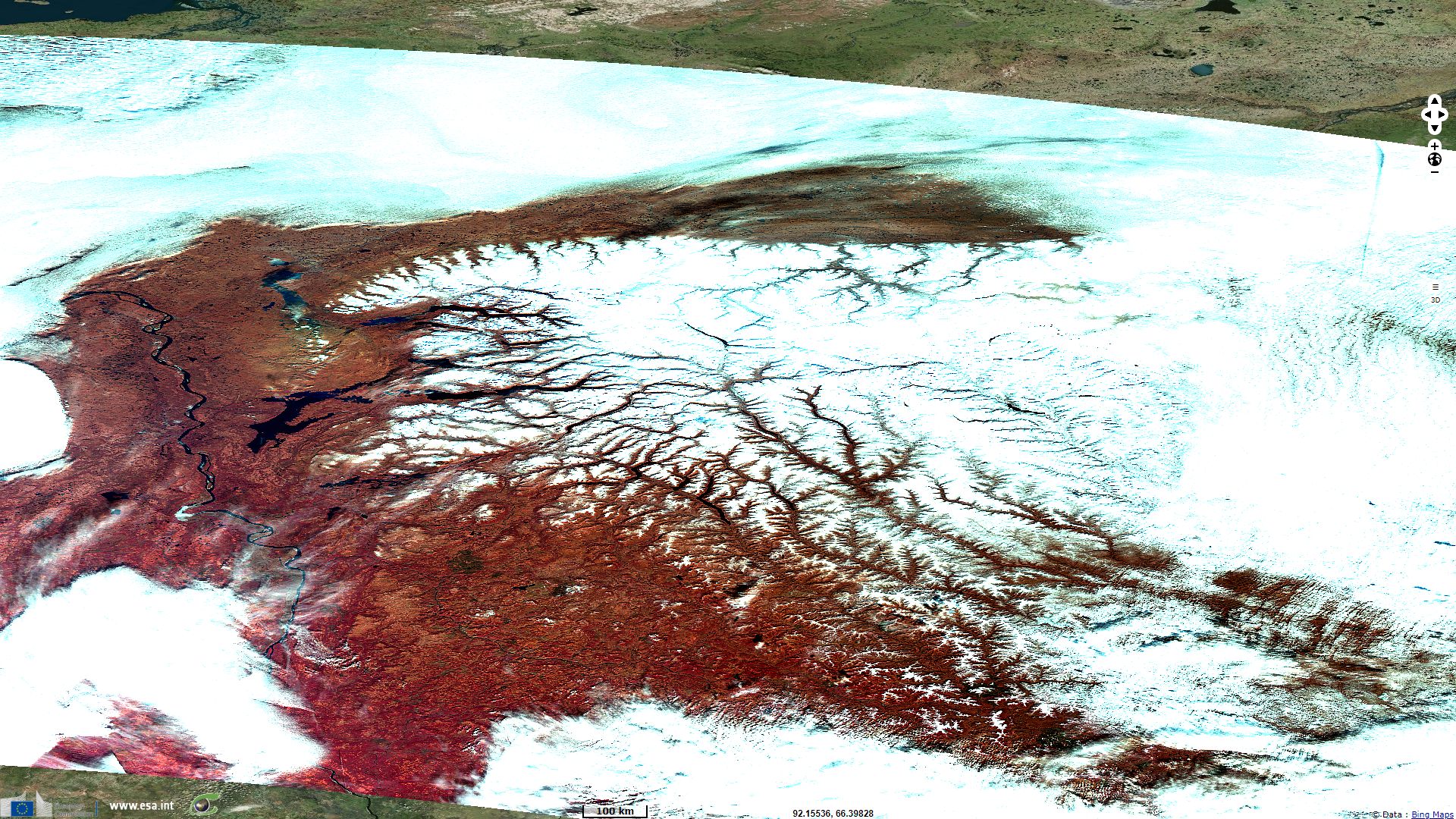
"With time tectonic fractures have been expanded by glaciers and occupied by rivers and deep narrow lakes (Lama, Keta, Glubokoye, Khantayskoye, Ayan, etc.) creating the unique appearance of the plateau. These exotic fjord-like lakes reaching 100-150 km in length and up to 400 m deep are considered to be Siberian largest after lakes Baikal and Teletskoye. Another adornment of the plateau are numerous waterfalls, including the 108 m high waterfall in Kanda river valley considered to be one of the Russia's highest."
"General climatic border lines divide the Putorana plateau in two directions determining the biodiversity level unexpectedly high for this latitude. One border line divides northern taiga and forest tundra, the other divides the plateau into western and eastern parts and defines the eastern distribution limit of the western taiga vegetation.
Vegetation cover is presented by larch taiga, sparse forests and mountain tundra. The flora list of the reserve counts about 400 higher plants species, including several rare, relic and endemic forms."
"There are 34 mammal species in the reserve. Here lays the migration route of the Taimyr wild reindeer population of over 500 000 specimen. The plateau is the only habitat of one of the most poorly known hoofed animal inscribed into the Red Book of RF - the Putorana bighorn sheep (Ovis nivicola borealis). Having been isolated from the main population about 15 000 years ago, it has formed a separate sub-specie."
"About 140 bird species have been noted in the reserve. Main part of them is nesting here, including rare prey birds like white-tailed eagle and merlin. The number of their nesting-places at the plateau is especially high. Numerous water reservoirs are stopover points for thousands of migrating birds."
Kureika river valley - Source: Romanov A.
The views expressed herein can in no way be taken to reflect the official opinion of the European Space Agency or the European Union.
Contains modified Copernicus Sentinel data 2026, processed by VisioTerra.
Contains modified Copernicus Sentinel data 2026, processed by VisioTerra.
| More on European Commission space: |  |
 |
 |
||||
| More on ESA: | |
|
|
S-1 website | S-2 website | S-3 website | |
| More on Copernicus program: | |
|
|
Scihub portal | Cophub portal | Inthub portal | Colhub portal |
| More on VisioTerra: | |
|
|
Sentinel Vision Portal | Envisat+ERS portal | Swarm+GOCE portal | CryoSat portal |