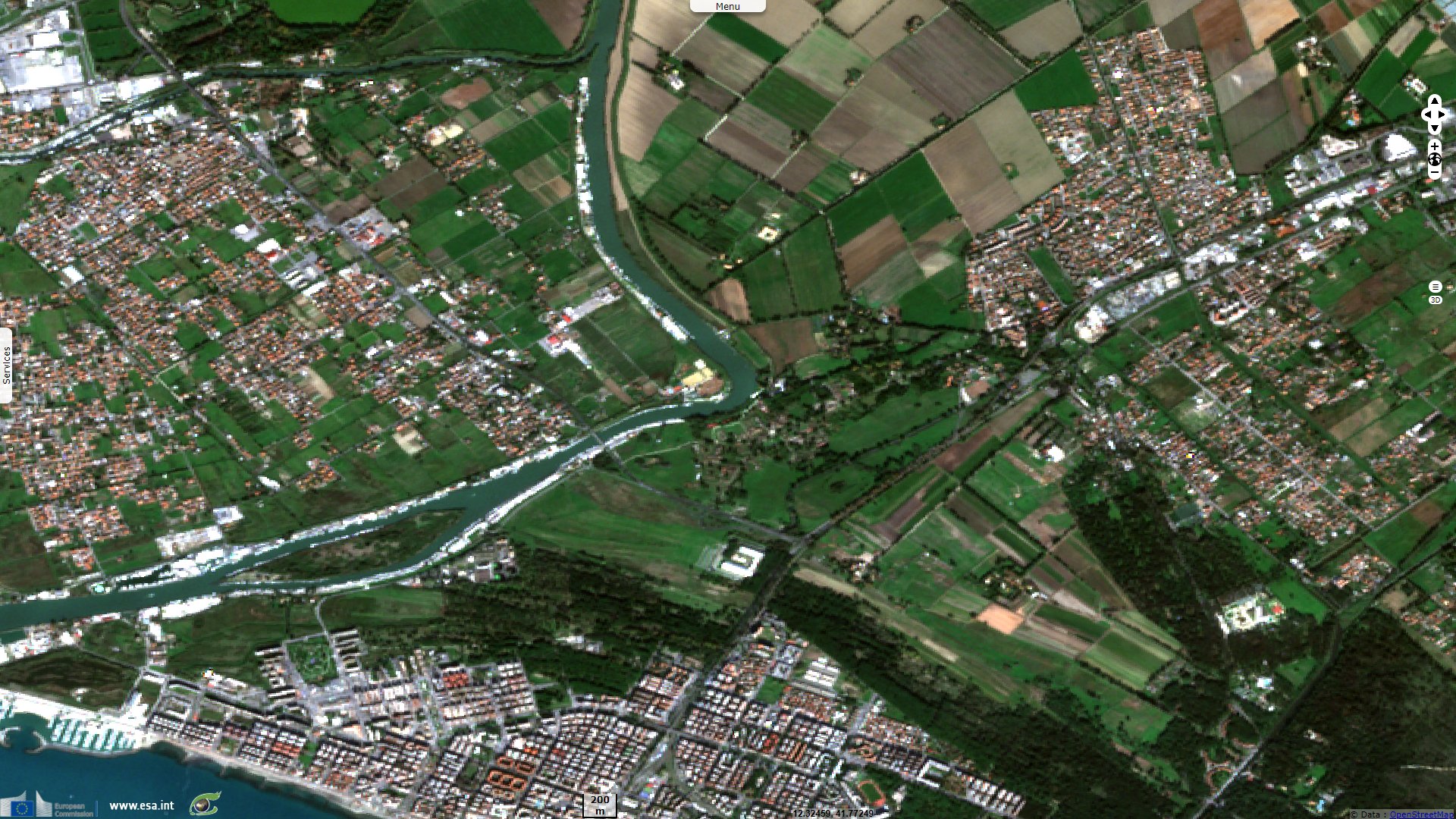
Ostia, from antique seaport of Rome to inland archaeological site
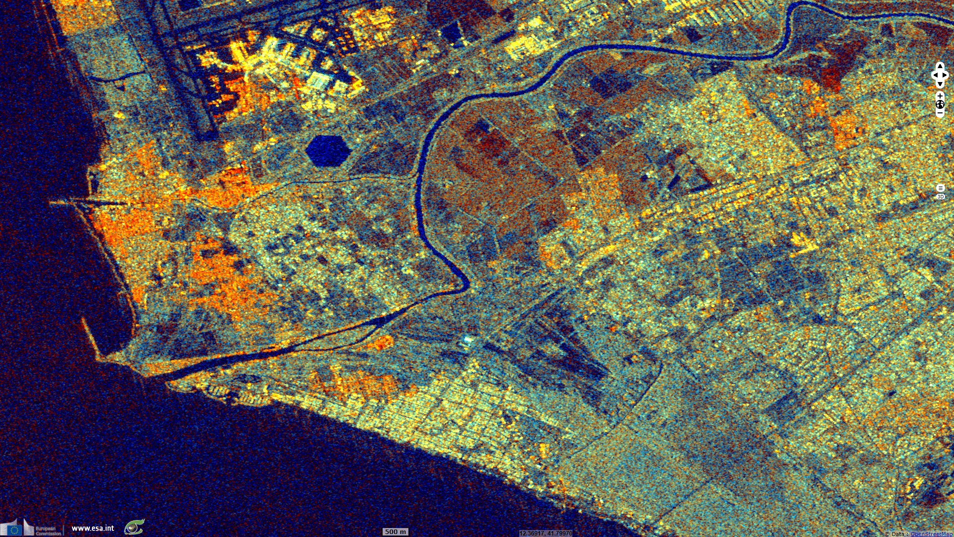
Sentinel-1 CSAR IW acquired on 05 October 2019 at 17:05:05 UTC
Sentinel-1 CSAR IW acquired on 05 October 2019 at 17:05:30 UTC
Sentinel-2 MSI acquired on 06 November 2020 at 10:02:19 UTC
Sentinel-1 CSAR IW acquired on 05 October 2019 at 17:05:30 UTC
Sentinel-2 MSI acquired on 06 November 2020 at 10:02:19 UTC
Keyword(s): Coastal, urban, hydrology, siltation, sediment, flood, Italy
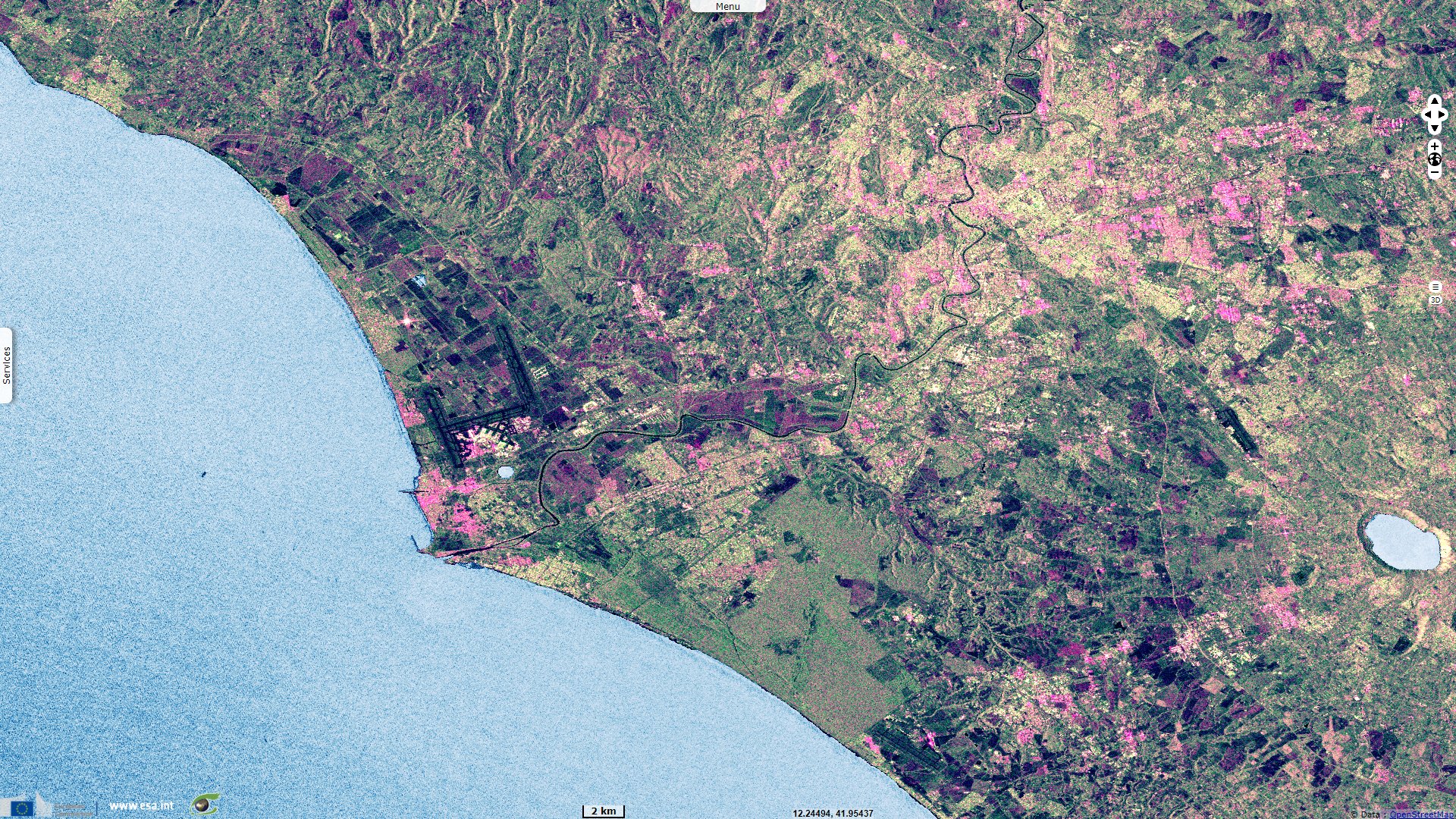
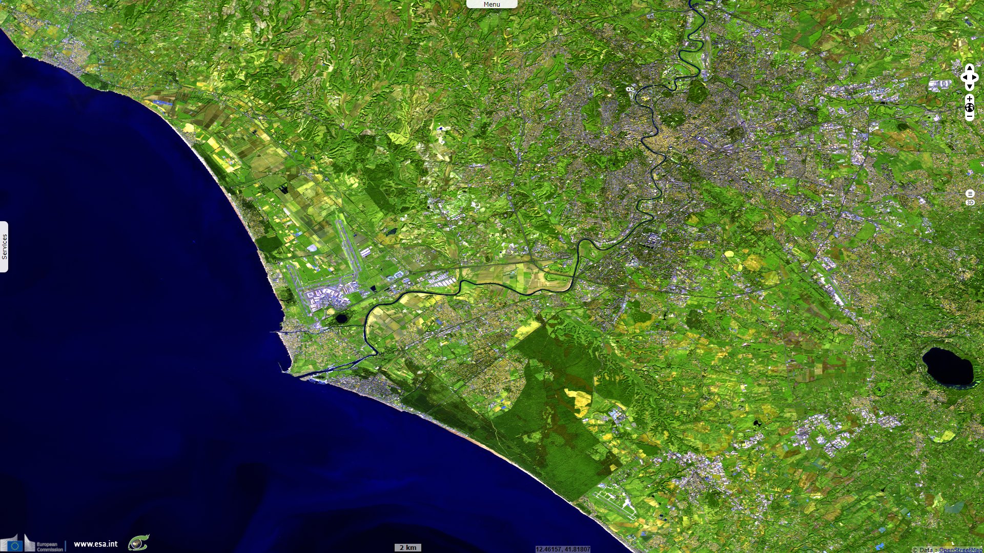
A flood altered the course of the Tiber, shortening the loop it formed upstream from Ostia, and eroded a northern part of the site.
The city was finally abandoned in the 9th century due to the repeated invasions and sackings by Arab pirates.
The site is noted for the excellent preservation of its ancient buildings, magnificent frescoes and impressive mosaics.
The views expressed herein can in no way be taken to reflect the official opinion of the European Space Agency or the European Union.
Contains modified Copernicus Sentinel data 2026, processed by VisioTerra.
Contains modified Copernicus Sentinel data 2026, processed by VisioTerra.
| More on European Commission space: |  |
 |
 |
||||
| More on ESA: | |
|
|
S-1 website | S-2 website | S-3 website | |
| More on Copernicus program: | |
|
|
Scihub portal | Cophub portal | Inthub portal | Colhub portal |
| More on VisioTerra: | |
|
|
Sentinel Vision Portal | Envisat+ERS portal | Swarm+GOCE portal | CryoSat portal |